geo.wikisort.org - River
The Big Sandy River (also called Big Sandy Creek) is a 141-mile-long (227 km)[1] tributary of the Green River in Wyoming in the United States.

Course
It rises in eastern Sublette County, on the west side of the continental divide in the southern Wind River Range, in the Bridger Wilderness Area of the Bridger-Teton National Forest.
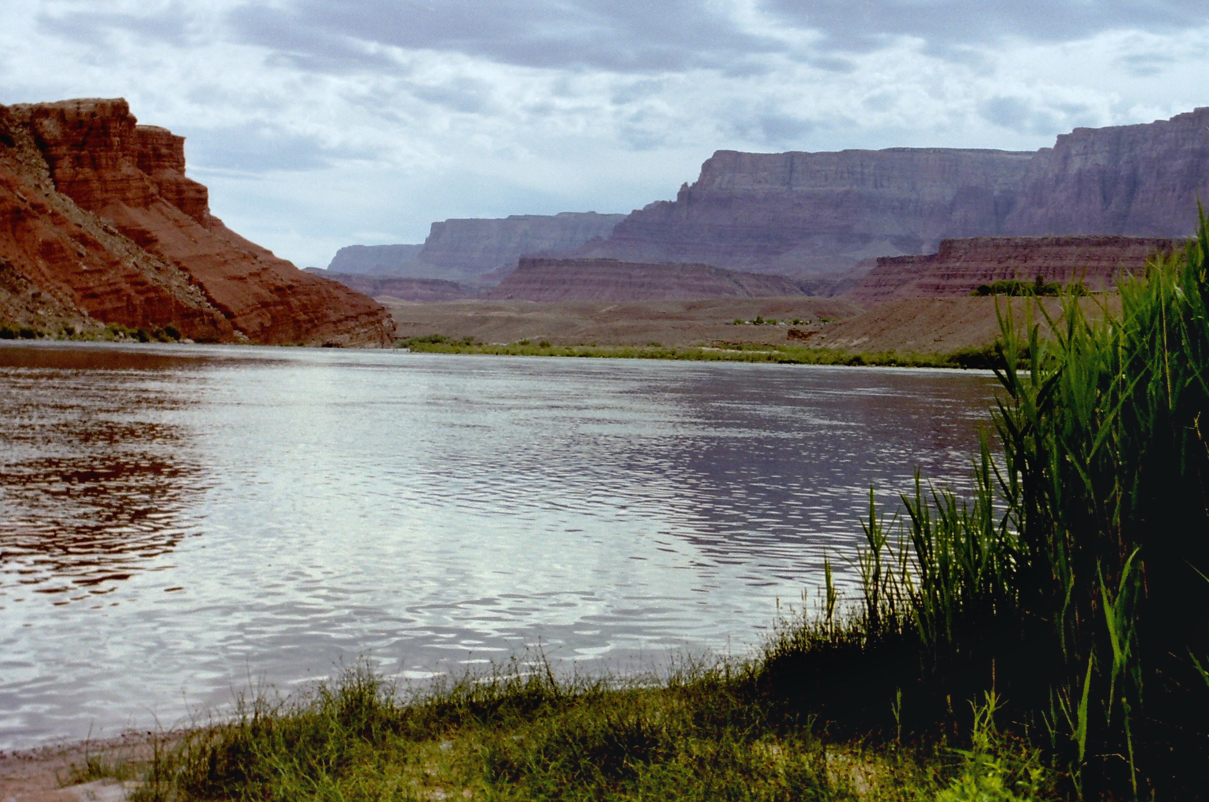
It flows south, southwest, southeast, then southwest, past the town of Farson and joins the Green in western Sweetwater County.
Above Farson, it is dammed to form the Big Sandy Reservoir.

See also
- Green River (Colorado River) topics
- List of Wyoming rivers
- List of tributaries of the Colorado River
- Tributaries of the Colorado River in Wyoming
References
- U.S. Geological Survey. National Hydrography Dataset high-resolution flowline data. The National Map Archived 2012-03-29 at the Wayback Machine, accessed March 18, 2011
External links
Colorado River system | |||||||||
|---|---|---|---|---|---|---|---|---|---|
| Jurisdictions |
|     | |||||||
| Canyons |
| ||||||||
| Natural features |
| ||||||||
| Tributaries |
| ||||||||
| Engineering |
| ||||||||
| Designated areas |
| ||||||||
| Related topics |
| ||||||||
Authority control | |
|---|---|
| General |
|
| National libraries | |
| Other | |
This article related to a river in Wyoming is a stub. You can help Wikipedia by expanding it. |
На других языках
[de] Big Sandy River (Green River)
Der Big Sandy River (auch: Big Sandy Creek oder Sandy Creek) ist ein rund 100 km langer Zufluss des Green River in Wyoming.- [en] Big Sandy River (Wyoming)
[es] Río Big Sandy (Wyoming)
El río Big Sandy, a veces también arroyo Big Sandy (en inglés, Big Sandy River o Big Sandy Creek; que en español significa, «el gran río [o arroyo] arenoso») es un corto río del Medio Oeste de los Estados Unidos, uno de los principales afluentes del río Green, que discurre por la parte central de la vertiente occidental de las Montañas Rocosas.Текст в блоке "Читать" взят с сайта "Википедия" и доступен по лицензии Creative Commons Attribution-ShareAlike; в отдельных случаях могут действовать дополнительные условия.
Другой контент может иметь иную лицензию. Перед использованием материалов сайта WikiSort.org внимательно изучите правила лицензирования конкретных элементов наполнения сайта.
Другой контент может иметь иную лицензию. Перед использованием материалов сайта WikiSort.org внимательно изучите правила лицензирования конкретных элементов наполнения сайта.
2019-2026
WikiSort.org - проект по пересортировке и дополнению контента Википедии
WikiSort.org - проект по пересортировке и дополнению контента Википедии