geo.wikisort.org - River
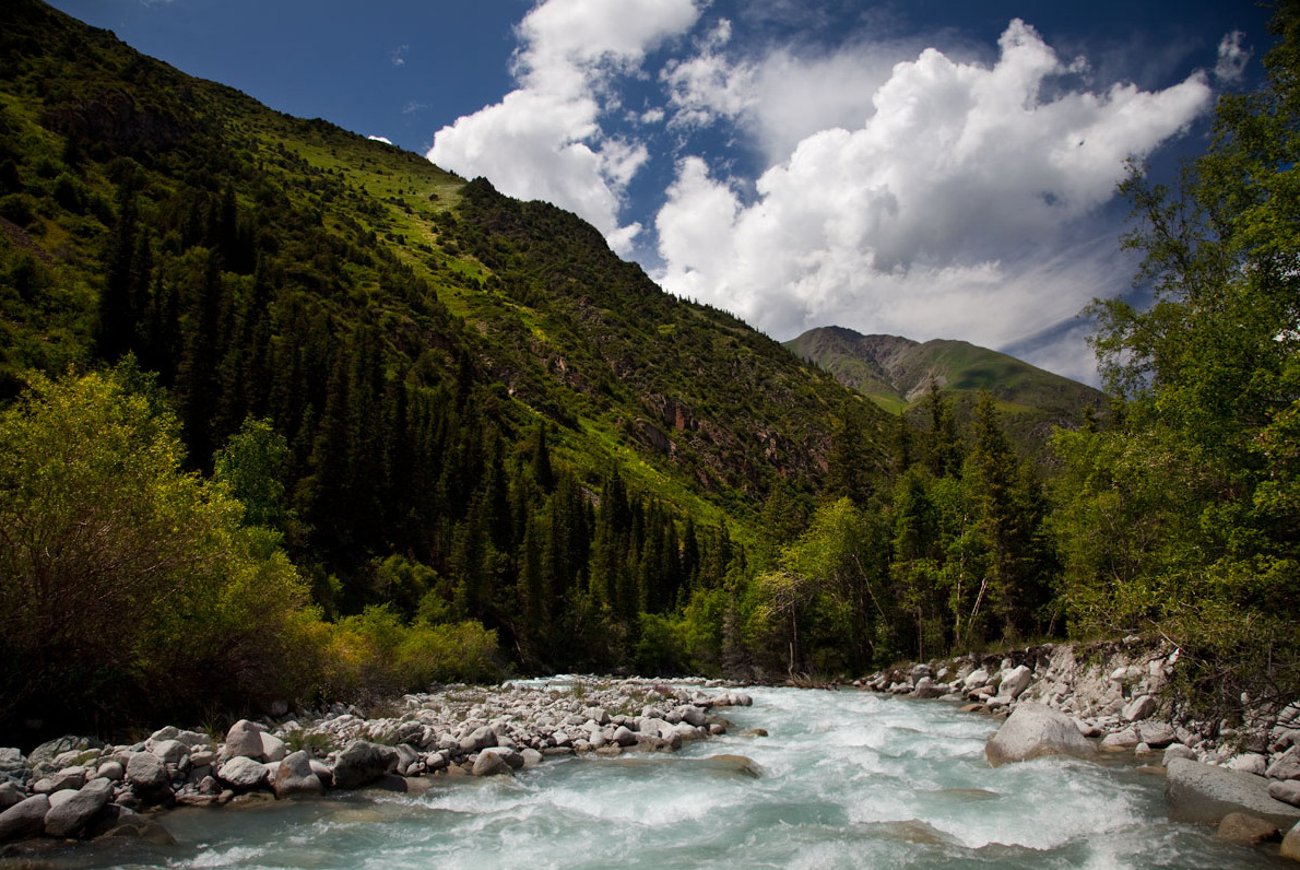
The Ala-Archa (Kyrgyz: Ала-Арча, also Аларча) is a river flowing through Alamüdün District of Chüy Region of Kyrgyzstan. It rises on the northern slopes of Kyrgyz Ala-Too and flows north to enter the river Chu in Chüy Valley. The Ala-Archa is 78 kilometres (48 mi) long and has a basin area of 270 square kilometres (100 sq mi).[1] Its water comes mostly from glaciers and snow.[2]
| Ala-Archa | |
|---|---|
 | |
| Native name | Ала-Арча (Kyrgyz) |
| Location | |
| Country | Kyrgyzstan |
| Region | Chüy Region |
| District | Alamüdün District |
| City | Bishkek |
| Physical characteristics | |
| Mouth | Chu |
• coordinates | 43.0623°N 74.6382°E |
| Length | 78 km (48 mi) |
| Basin size | 270 km2 (100 sq mi) |
| Basin features | |
| Progression | Chu→ Betpak-Dala desert |
| Tributaries | |
| • right | Kashka-Suu |
Course
The river runs through Ala Archa National Park and through Bishkek. Other settlements in the river basin are Kashka-Suu, Baytik, Orto-Say, Tash-Döbö and Mayevka.
References
- "Аларча" [Alarcha] (PDF). Кыргызстандын Географиясы [Geography of Kyrgyzstan] (in Kyrgyz). Bishkek. 2004. p. 181.
- Чүй облусу:Энциклопедия [Encyclopedia of Chüy Oblast] (in Kyrgyz and Russian). Bishkek: Chief Editorial Board of Kyrgyz Encyclopedia. 1994. p. 718. ISBN 5-89750-083-5.
На других языках
[de] Ala-Artscha
Die Ala-Artscha (russisch Ала́-Арча́) ist ein linker Nebenfluss des Tschüi in Kirgisistan. Sie hat eine Länge von 76 km und entwässert ein Areal von 233 km². Der mittlere Abfluss beträgt 4,17 m³/s.- [en] Ala-Archa
[ru] Ала-Арча (река)
Ала́-Арча́ (Алаарча[1]) — река в Киргизии, приток реки Чу. Протекает в Чуйской области через пригород Бишкека село Маёвка и около села Орто-Сай. Длина реки составляет 78 км, площадь бассейна — 270 км² (согласно другому источнику 233 км²[2]), средний расход воды — 4,17 м³/с[3].Текст в блоке "Читать" взят с сайта "Википедия" и доступен по лицензии Creative Commons Attribution-ShareAlike; в отдельных случаях могут действовать дополнительные условия.
Другой контент может иметь иную лицензию. Перед использованием материалов сайта WikiSort.org внимательно изучите правила лицензирования конкретных элементов наполнения сайта.
Другой контент может иметь иную лицензию. Перед использованием материалов сайта WikiSort.org внимательно изучите правила лицензирования конкретных элементов наполнения сайта.
2019-2026
WikiSort.org - проект по пересортировке и дополнению контента Википедии
WikiSort.org - проект по пересортировке и дополнению контента Википедии