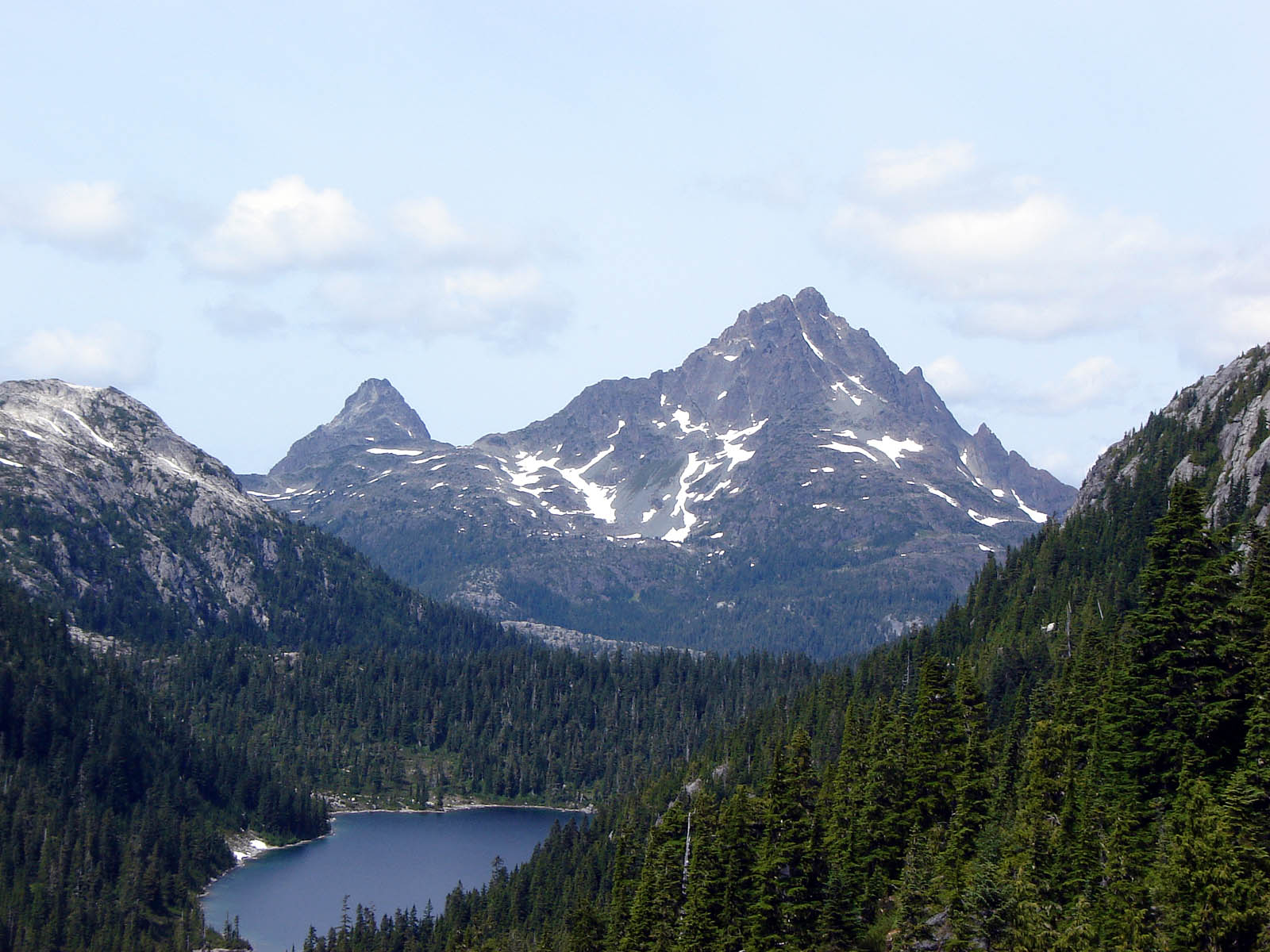
The Vancouver Island Ranges, formerly called the Vancouver Island Mountains, are a series of mountain ranges extending along the length of Vancouver Island which has an area of 31,788km2 (12,273sqmi). The Vancouver Island Ranges comprise the central and largest part of the island.[1] The Geological Survey of Canada refers to Vancouver Island, Haida Gwaii, and the Alaska Panhandle as the Insular Belt including the sea floor out to 100km (62mi) west of Vancouver Island.[2] The Vancouver Island Ranges are a sub-range of the Insular Mountains.
The first European sighting[3] of these ranges was likely Sir Francis Drake. A sighting of land on June 5, 1579 was recorded by his crew aboard the vessel Golden Hind at a latitude of 48 degrees north but not finding safe harbour, they moved on southward. The highest peak of the Vancouver Island Ranges, the Golden Hinde, is named for his vessel.
The first European explorer likely to have observed any of the mountains of the Vancouver Island Ranges would have been Captain Juan José Pérez aboard the Spanish frigate Santiago. Although he anchored off Estevan Point, on August 8, 1774 he did not land. Captain James Cook entered Nootka Sound March 29, 1778 and spent about a month refitting his ships Discovery and Resolution. His logs contain the first recorded reference to the mountains of Vancouver Island. In 1788 British Captain John Meares began a small settlement at Nootka Sound and the following year, the Spanish built a permanent fort at Friendly Cove (Yuquot) in Nuu-chah-nulth territory. The Spanish claimed sovereignty and a dispute arose which was resolved with the Nootka Convention of the 1794. There was little further exploration until the Hudson's Bay Company was granted rights to Vancouver Island on January 13, 1849 leading to the first attempt, by Captain Hamilton Moffat in 1852 to ascend a major peak on the Island when he attempted Rugged Mountain.
Adam Grant Horne located a trail across the island from the Qualicum River to the Alberni Inlet in 1856 and Joseph Despard Pemberton, Surveyor General of the Colony of Vancouver Island explored much of the southern half of the Island in 1857. The southern Island was further explored by the Vancouver Island Exploring Expedition in 1865. By the mid-1880s the southern half of the island had been explored and by 1890 the northern region had been explored as well. The central part of the island, the area now within Strathcona Provincial Park, was explored by Reverend William Washington Bolton, Headmaster of the Victoria School for Boys, in 1894 and 1896.
Ranges
Named Ranges of Vancouver Island
Only a few of the many subranges of the Vancouver Island Ranges have official names. These are:
Philip Stone (2003). Island Alpine, A Guide to the Mountains of Strathcona Park and Vancouver Island. Wild Isle Publications: Heriot Bay, BC. ISBN0-9680766-5-3.
Lindsay Elms (1996). Beyond Nootka, A Historical Perspective of Vancouver Island Mountains. Misthorn Press: Courtenay, BC. ISBN0-9680159-0-5.
References
Guthrie, R.H. (2005). Geomorthology of Vancouver Island: Mass Wasting Potential (Report). BC Ministry of Environment. doi:10.13140/RG.2.1.3032.9848. p 1 (and see map at p 2 for area of Vancouver Island Ranges) ISBN0-7726-5468-9
Другой контент может иметь иную лицензию. Перед использованием материалов сайта WikiSort.org внимательно изучите правила лицензирования конкретных элементов наполнения сайта.
2019-2026 WikiSort.org - проект по пересортировке и дополнению контента Википедии