geo.wikisort.org - Island
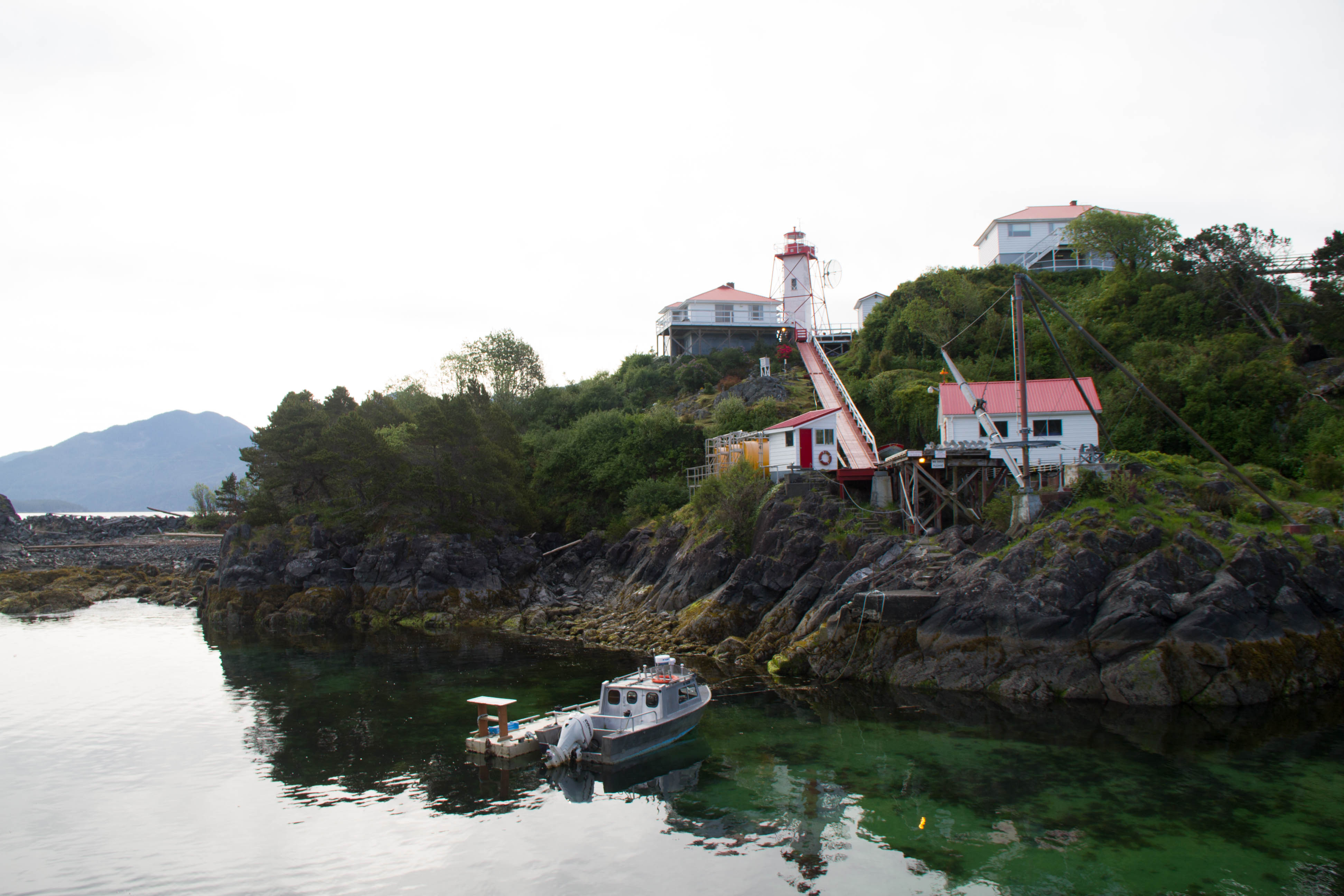
Nootka Island (French: île Nootka) is an island adjacent to Vancouver Island in British Columbia, Canada.[1] It is 510 square kilometres (200 sq mi)[2] in area. It is separated from Vancouver Island by Nootka Sound and its side-inlets, and is located within Electoral Area A of the Strathcona Regional District.
Europeans named the island after a Nuu-chah-nulth language word meaning "go around, go around". They likely thought the natives were referring to the island itself. The Spanish and later English applied the word to the island and the sound, thinking they were naming both after the people.[3]
In the 1980s, the First Nations peoples in the region created the collective autonym of Nuu-chah-nulth, a term that means "along the outside (of Vancouver Island)". An older term for this group of peoples was "Aht", which means "people" in their language and is a component in all the names of their subgroups, and of some locations (e.g. Yuquot, Mowachaht, Kyuquot, Opitsaht etc.).
Climate
| Climate data for Nootka (1981-2010) | |||||||||||||
|---|---|---|---|---|---|---|---|---|---|---|---|---|---|
| Month | Jan | Feb | Mar | Apr | May | Jun | Jul | Aug | Sep | Oct | Nov | Dec | Year |
| Record high °C (°F) | 18.5 (65.3) |
16.5 (61.7) |
18.5 (65.3) |
23.0 (73.4) |
27.5 (81.5) |
30.0 (86.0) |
34.0 (93.2) |
34.0 (93.2) |
26.5 (79.7) |
22.5 (72.5) |
22.5 (72.5) |
18.0 (64.4) |
34.0 (93.2) |
| Average high °C (°F) | 7.4 (45.3) |
8.2 (46.8) |
9.8 (49.6) |
11.9 (53.4) |
14.7 (58.5) |
16.9 (62.4) |
19.1 (66.4) |
19.5 (67.1) |
17.7 (63.9) |
13.2 (55.8) |
9.0 (48.2) |
7.2 (45.0) |
12.9 (55.2) |
| Daily mean °C (°F) | 5.6 (42.1) |
5.9 (42.6) |
7.1 (44.8) |
8.8 (47.8) |
11.5 (52.7) |
13.7 (56.7) |
15.8 (60.4) |
16.3 (61.3) |
14.7 (58.5) |
10.8 (51.4) |
7.1 (44.8) |
5.4 (41.7) |
10.2 (50.4) |
| Average low °C (°F) | 3.7 (38.7) |
3.5 (38.3) |
4.3 (39.7) |
5.7 (42.3) |
8.3 (46.9) |
10.6 (51.1) |
12.4 (54.3) |
13.0 (55.4) |
11.6 (52.9) |
8.4 (47.1) |
5.1 (41.2) |
3.5 (38.3) |
7.5 (45.5) |
| Record low °C (°F) | −6.5 (20.3) |
−10.0 (14.0) |
−3.0 (26.6) |
0.0 (32.0) |
1.0 (33.8) |
5.0 (41.0) |
6.0 (42.8) |
9.0 (48.2) |
5.0 (41.0) |
−1.0 (30.2) |
−7.0 (19.4) |
−5.5 (22.1) |
−10.0 (14.0) |
| Average precipitation mm (inches) | 471.6 (18.57) |
325.4 (12.81) |
314.2 (12.37) |
264.6 (10.42) |
169.0 (6.65) |
147.3 (5.80) |
79.4 (3.13) |
99.4 (3.91) |
145.4 (5.72) |
355.5 (14.00) |
480.2 (18.91) |
427.7 (16.84) |
3,279.7 (129.12) |
| Source: Environment Canada[4] | |||||||||||||
See also
- Nootka Crisis
- Nootka Convention
- Nootka Fault, a local geologic fault.
- Fort San Miguel
References
- BC Namess/GeoBC entry "Nootka Island"
- "Atlas of Canada - Sea Islands". Atlas.nrcan.gc.ca. 2009-08-12. Archived from the original on 2013-01-22. Retrieved 2019-05-14.
- BC Names/GeoBC entry "Nootka Sound"
- Environment Canada — , accessed 10 October 2017
Authority control | |
|---|---|
| General |
|
| National libraries | |
This article about a location on the Coast of British Columbia, Canada is a stub. You can help Wikipedia by expanding it. |
На других языках
[de] Nootka Island
Nootka Island ist eine Insel an der Westküste von Vancouver Island, in British Columbia (Westkanada), mit einer Fläche von 510 km² und einem Umfang von 187 km.[1] Sie wird durch den Nootka Sound von Vancouver Island getrennt.- [en] Nootka Island
[es] Isla de Nutca
La isla de Nutca (también escrito como Nuca o Nutka, en inglés Nootka Island) es una pequeña isla costera del tramo central de la costa suroccidental de la isla de Vancouver, perteneciente a la provincia de la Columbia Británica (Canadá). Tiene un área de 534 km² y está separada de la isla de Vancouver por las aguas del estrecho de Nutca y la ensenada Esperanza.[fr] Île Nootka
L'île Nootka (en anglais : Nootka Island) est une île située à proximité immédiate de la côte ouest de l'île de Vancouver en Colombie-Britannique au Canada dont elle est séparée par la baie Nootka (en anglais : Nootka Sound) à l'est et par la baie Esperanza (Esperanza Inlet) au nord.[it] Isola di Nootka
L'isola di Nootka è un'isola di 534 km2 situata in prossimità della costa occidentale dell'isola di Vancouver, nella regione canadese della Columbia Britannica, da cui è separata per mezzo dello stretto di Nootka. Amministrativamente l'isola è situata nell'area elettorale A del distretto regionale di Strathcona.[ru] Нутка (остров)
Нутка (англ. Nootka Island) — остров в Тихом океане, у западного берега острова Ванкувер.Другой контент может иметь иную лицензию. Перед использованием материалов сайта WikiSort.org внимательно изучите правила лицензирования конкретных элементов наполнения сайта.
WikiSort.org - проект по пересортировке и дополнению контента Википедии