geo.wikisort.org - Mountains
Tadiandamol or Thadiyandamol is the highest mountain of Madikeri taluk Kodagu district, Karnataka, India. It is the third highest peak in Karnataka, after Mullayyanagiri & Kudremukha.[1] It is located Western Ghats range, and reaches an elevation of 1,748 m. The mountain has patches of shola forests in the valleys.
| Tadiandamol | |
|---|---|
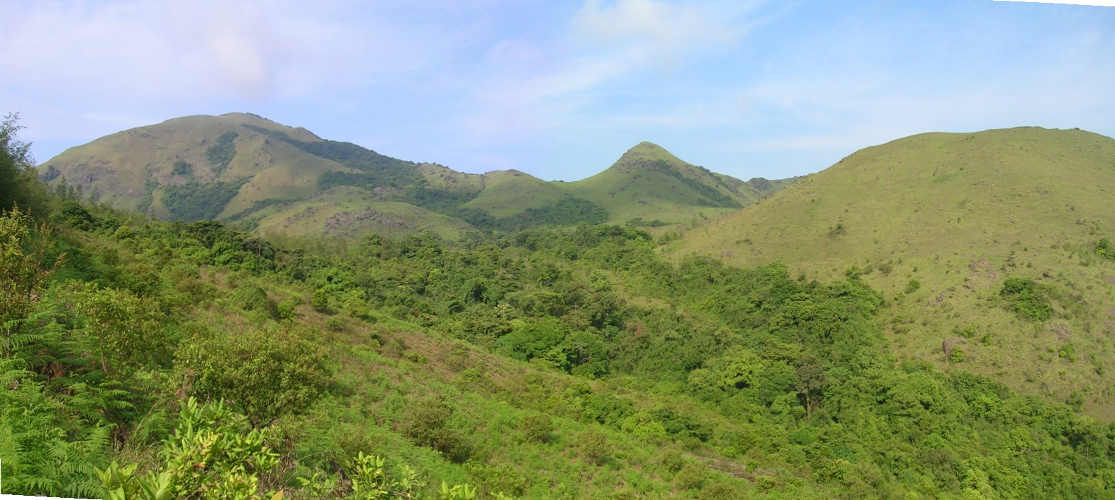
 Sholas on Tadiandamol showing Strobilanthes edges. | |
| Highest point | |
| Elevation | 1,748 m (5,735 ft) |
| Coordinates | 12°13′3.2308″N 75°36′31.7340″E |
| Geography | |
 Tadiandamol Location of Tadiandamol, Karnataka  Tadiandamol Tadiandamol (India) | |
| Location | Madikeri Taluk , Kodagu District, Karnataka, India |
| Parent range | Western Ghats |
| Climbing | |
| Easiest route | Hike |
The Nalaknad (also known as Nalnad - meaning 4 villages) palace at the foothills is an important historical landmark. This was one of the landmarks mapped during the Great Trigonometric Survey.
It is a place of interest for trekkers and naturalists. The climb to the top and back can be completed as a day hike; camping is banned since December 2016.
Etymology
The name Tadiandamol literally means largest base (thadi = broad, large, huge; anda = belonging to (possessive) in Kodava; mol = hill, base, peak). It loosely means Tallest Mount,[2] and the name also could translate as Broad Hill.[3]
See also
- Virajpet
- Madikeri
- Mangalore
- Bhagamandala
References
- "Trekking These Highest Karnataka Peaks Will Make Your Friends Envy".
- "Codagu.org".
- Surendra Rao, B. (1998). "Google books".
External links
 Media related to Tadiandamol at Wikimedia Commons
Другой контент может иметь иную лицензию. Перед использованием материалов сайта WikiSort.org внимательно изучите правила лицензирования конкретных элементов наполнения сайта.
WikiSort.org - проект по пересортировке и дополнению контента Википедии