geo.wikisort.org - Mountains
Stony Mountain is a summit in Iron County in the U.S. state of Missouri.[1] Stony Mountain lies about 3.5 miles east of Annapolis and about four miles northeast of Vulcan on Missouri Route 49.[2]
| Stony Mountain | |
|---|---|
 Stony Mountain Iron County, Missouri, U.S. | |
| Highest point | |
| Elevation | 1,184 ft (361 m) |
| Coordinates | 37°21′39″N 90°38′01″W[1] |
| Geography | |
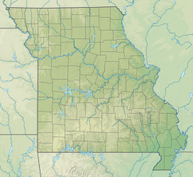
| Location | Iron County, Missouri, U.S. |
| Parent range | Saint Francois Mountains |
| Topo map | USGS Des Arc and Brunot |
Stony Mountain was so named on account of its granite outcroppings.[3]
References
- U.S. Geological Survey Geographic Names Information System: Stony Mountain (Missouri)
- Missouri Atlas & Gazetteer, DeLorme, 1998, First edition, p. 56 ISBN 0-89933-224-2
- "Iron County Place Names, 1928–1945 (archived)". The State Historical Society of Missouri. Archived from the original on 24 June 2016. Retrieved 12 October 2016.
{{cite web}}: CS1 maint: bot: original URL status unknown (link)
This Iron County, Missouri state location article is a stub. You can help Wikipedia by expanding it. |
Текст в блоке "Читать" взят с сайта "Википедия" и доступен по лицензии Creative Commons Attribution-ShareAlike; в отдельных случаях могут действовать дополнительные условия.
Другой контент может иметь иную лицензию. Перед использованием материалов сайта WikiSort.org внимательно изучите правила лицензирования конкретных элементов наполнения сайта.
Другой контент может иметь иную лицензию. Перед использованием материалов сайта WikiSort.org внимательно изучите правила лицензирования конкретных элементов наполнения сайта.
2019-2026
WikiSort.org - проект по пересортировке и дополнению контента Википедии
WikiSort.org - проект по пересортировке и дополнению контента Википедии