geo.wikisort.org - Mountains
Anderson Mountain is a summit two miles (3.2 km) east of Pilot Knob in Iron County, Missouri, in the United States. The summit has an elevation of 1,467 feet (447 m).[1]
| Anderson Mountain | |
|---|---|
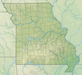 Anderson Mountain Location in Missouri | |
| Highest point | |
| Elevation | 1,467 ft (447 m)[1] |
| Coordinates | 37°37′42″N 90°35′58″W[1] |
| Geography | |
| Location | Iron County, Missouri, U.S. |
| Parent range | Saint Francois Mountains |
| Topo map | USGS Iron Mountain Lake |
Anderson Mountain has the name of the local Anderson family.[2]
References
- "Anderson Mountain". Geographic Names Information System. United States Geological Survey, United States Department of the Interior.
- "Iron County Place Names, 1928–1945". State Historical Society of Missouri. Retrieved January 10, 2019.
This Iron County, Missouri state location article is a stub. You can help Wikipedia by expanding it. |
Текст в блоке "Читать" взят с сайта "Википедия" и доступен по лицензии Creative Commons Attribution-ShareAlike; в отдельных случаях могут действовать дополнительные условия.
Другой контент может иметь иную лицензию. Перед использованием материалов сайта WikiSort.org внимательно изучите правила лицензирования конкретных элементов наполнения сайта.
Другой контент может иметь иную лицензию. Перед использованием материалов сайта WikiSort.org внимательно изучите правила лицензирования конкретных элементов наполнения сайта.
2019-2026
WikiSort.org - проект по пересортировке и дополнению контента Википедии
WikiSort.org - проект по пересортировке и дополнению контента Википедии