geo.wikisort.org - Mountains
Great Coum is a hill in the Yorkshire Dales,[1][2] but is located in the South Lakeland district of Cumbria. The highest point is in Dent parish, but the boundary with Casterton parish crosses the summit. Its neighbours include Crag Hill, Green Hill and Gragareth.
| Great Coum | |
|---|---|
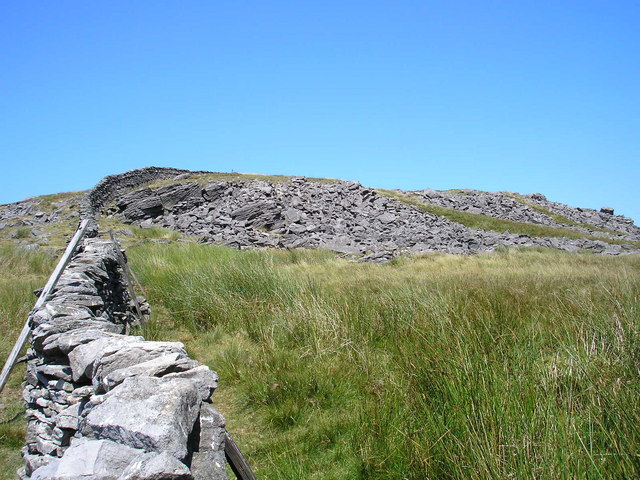 Looking north along the boundary wall towards the rocky outcrop below the summit | |
| Highest point | |
| Elevation | 687 m (2,254 ft)[1] |
| Prominence | 221 m (725 ft)[1] |
| Parent peak | Whernside |
| Listing | Marilyn, Hewitt, Nuttall, HuMP, Simm, Buxton & Lewis, Bridge, Clem |
| Coordinates | 54°14′48″N 2°27′39″W |
| Geography | |
 Great Coum South Lakeland, Cumbria, England | |
| OS grid | SD700835 |
| Topo map | OS Outdoor Leisure 2 |
It can be ascended from Dent to the north or by a shorter route, of about 2.5 miles (4.0 km) with 700 feet (210 m) of climbing, from the minor road to White Shaw Moss (SD723821).
Great Coum is classified as a Marilyn, Hewitt, Nuttall, HuMP, Simm, Buxton & Lewis, Bridge and Clem.[1]
References
- "Great Coum". www.hill-bagging.co.uk. Retrieved 11 February 2021.
- Marsh, Terry (22 March 2013). "Gragareth and Great Coum". Great Mountain Days in the Pennines: 50 classic hillwalking routes. Cicerone Press Limited. ISBN 978-1-84965-891-1. Retrieved 11 February 2021.
Marilyns of Northern England | ||
|---|---|---|
| 1. Northumberland |  | |
| 2. Northern Lakeland | ||
| 3. Western Lakeland | ||
| 4. Central and Southern Lakeland |
| |
| 5. Eastern Lakeland | ||
| 6. North Pennines and Durham | ||
| 7. Northern Yorkshire Dales | ||
| 8. Southern Yorkshire Dales | ||
| 9. North York Moors to the Humber | ||
| 10. Forest of Bowland |
| |
Текст в блоке "Читать" взят с сайта "Википедия" и доступен по лицензии Creative Commons Attribution-ShareAlike; в отдельных случаях могут действовать дополнительные условия.
Другой контент может иметь иную лицензию. Перед использованием материалов сайта WikiSort.org внимательно изучите правила лицензирования конкретных элементов наполнения сайта.
Другой контент может иметь иную лицензию. Перед использованием материалов сайта WikiSort.org внимательно изучите правила лицензирования конкретных элементов наполнения сайта.
2019-2026
WikiSort.org - проект по пересортировке и дополнению контента Википедии
WikiSort.org - проект по пересортировке и дополнению контента Википедии