geo.wikisort.org - Mountains
Grayrigg Forest is a hill in Cumbria, England,[1][2] located on the eastern edge of what might be considered the Lake District, and in August 2016 becoming part of the national park. Reaching 494 metres (1,621 ft) above sea level,[3][4] it is attainable from the less well-known Borrowdale valley.
| Grayrigg Forest | |
|---|---|
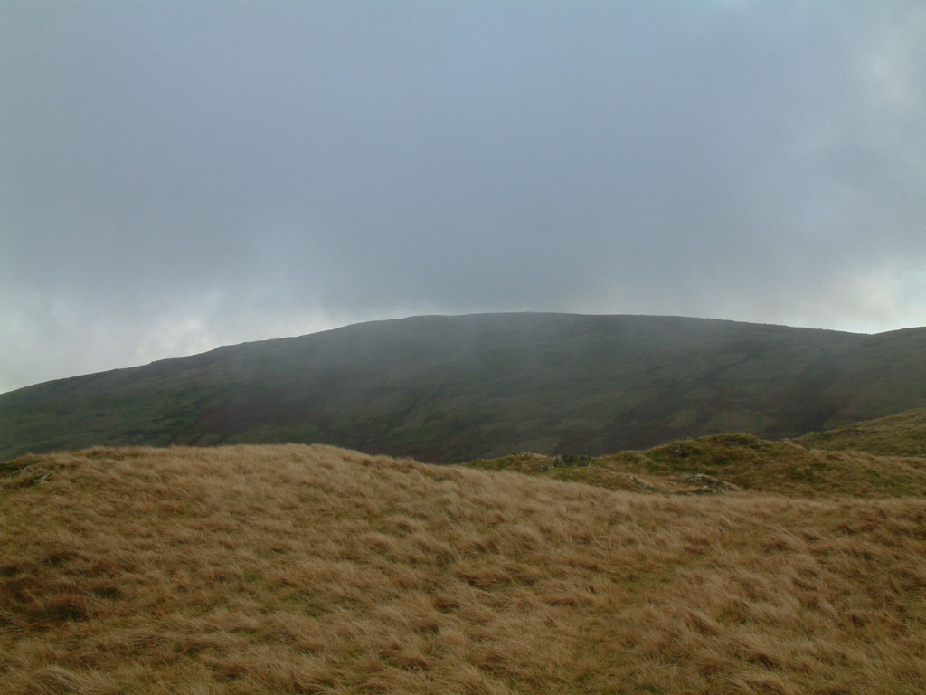 Grayrigg Forest from further west on Grayrigg Common | |
| Highest point | |
| Elevation | 494 m (1,621 ft) |
| Prominence | 190 m (620 ft) |
| Parent peak | High Street |
| Listing | Marilyn, Fellranger, Hump, Tump, Clem |
| Coordinates | 54°23′31″N 2°37′14″W |
| Geography | |
 Grayrigg Forest Lake District, England | |
| OS grid | SD598998 |
| Topo map | OS Landranger 97 |
From near the summit, there are impressive views down into the gorge of the Lune valley, where road, West Coast Main Line railway, M6 motorway and River Lune crowd between the outliers of the Lake District and the Howgill Fells.
It is one of three summits, along with Winterscleugh and Whinfell Beacon, added to the list of Fellrangers in the new edition (2019-2021) of Mark Richards' eight volumes of guidebooks and bringing the total to 230.[5] They were added when the Lake District National Park boundary was extended in 2019, including them for the first time.[4]

References
- Richards, Mark (19 March 2020). "Grayrigg Forest". Walking the Lake District Fells - Mardale and the Far East: High Street and Kentmere. Cicerone Press Limited. pp. 86–. ISBN 978-1-78362-813-1. Retrieved 8 February 2021.
- Ordnance Survey: Landranger map sheet 97 Kendal & Morecambe (Windermere & Lancaster) (Map). Ordnance Survey. 2014. ISBN 9780319232088.
- "Grayrigg Forest". www.themountainguide.co.uk. Retrieved 15 March 2016.
- "Grayrigg Forest". www.hill-bagging.co.uk. Retrieved 8 February 2021.
- "Lake District fells hiking guides". Cicerone Press. Retrieved 8 February 2021.
Marilyns of Northern England | ||
|---|---|---|
| 1. Northumberland |  | |
| 2. Northern Lakeland | ||
| 3. Western Lakeland | ||
| 4. Central and Southern Lakeland |
| |
| 5. Eastern Lakeland | ||
| 6. North Pennines and Durham | ||
| 7. Northern Yorkshire Dales | ||
| 8. Southern Yorkshire Dales | ||
| 9. North York Moors to the Humber | ||
| 10. Forest of Bowland |
| |
This Cumbria location article is a stub. You can help Wikipedia by expanding it. |
Другой контент может иметь иную лицензию. Перед использованием материалов сайта WikiSort.org внимательно изучите правила лицензирования конкретных элементов наполнения сайта.
WikiSort.org - проект по пересортировке и дополнению контента Википедии