geo.wikisort.org - Mountains
Cringle Moor (also known as Cranimoor),[1] at 432 m (1,417 ft),[2] is the third highest hill in the North York Moors, England, and the highest point west of Clay Bank.
This article needs additional citations for verification. (November 2017) |
| Cringle Moor | |
|---|---|
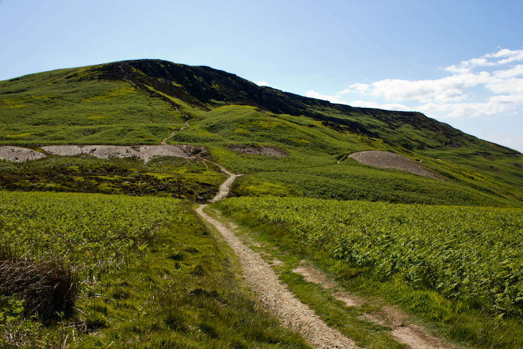 Cringle Moor seen from the east | |
| Highest point | |
| Elevation | 434 m (1,424 ft) |
| Prominence | 175 m (574 ft) |
| Listing | Marilyn |
| Geography | |
| Location | North York Moors, England |
| OS grid | NZ537029 |
| Topo map | OS Landranger 93 |
The hill is crossed by the Cleveland Way National Trail[3] and is a part of Wainwright's Coast to Coast Walk, which also passes over the neighbouring tops of Cold Moor, Carlton Moor, Live Moor and Hasty Bank — a section of the walk which Alfred Wainwright described as "one of the finest". It is also part of the Lyke Wake Walk.[4]
Just to the west of the summit is the burial mound of 'Drake Howe (Howe is an Old Norse word meaning burial mound).[5] This is a Bronze Age burial mound that is now a scheduled ancient monument.[6]
Gallery
 Cringle Moor from Bank Lane
 Cringle Moor from Cold Moor
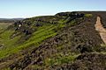 Cringle Moor's northern face
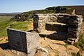 Stone seat on Cringle Moor
 View north from Cringle Moor


References
- Elgee, Frank (1912). The Moorlands of North-Eastern Yorkshire: their natural history and origin. London: A Brown & Sons. p. 234. OCLC 776748510.
- "OL26" (Map). North York Moors - Western area. 1:25,000. Explorer. Ordnance Survey. 2016. ISBN 9780319242650.
- Dillon, Paddy (2005). The North York Moors (2 ed.). Milnthorpe: Cicerone. p. 87. ISBN 978-1-85284-448-6.
- Wills, Dixe (30 August 2012). "Boots, anorak, coffin … the Yorkshire walk with a difference". The Guardian. Retrieved 28 November 2017.
- Reid, Mark. "Cringle Moor from Lord Stones' Cafe - Dalesman". dalesman.co.uk. Retrieved 28 November 2017.
- Historic England. "Round barrow at Drake Howe (1010531)". National Heritage List for England. Retrieved 28 November 2017.
External links
Marilyns of Northern England | ||
|---|---|---|
| 1. Northumberland |  | |
| 2. Northern Lakeland | ||
| 3. Western Lakeland | ||
| 4. Central and Southern Lakeland |
| |
| 5. Eastern Lakeland | ||
| 6. North Pennines and Durham | ||
| 7. Northern Yorkshire Dales | ||
| 8. Southern Yorkshire Dales | ||
| 9. North York Moors to the Humber | ||
| 10. Forest of Bowland |
| |
This Hambleton, North Yorkshire location article is a stub. You can help Wikipedia by expanding it. |
Другой контент может иметь иную лицензию. Перед использованием материалов сайта WikiSort.org внимательно изучите правила лицензирования конкретных элементов наполнения сайта.
WikiSort.org - проект по пересортировке и дополнению контента Википедии