geo.wikisort.org - Mountains
Cuchilla Grande is a hill range that crosses the east part of Uruguay from north to south. It extends from the south part of Cerro Largo Department, through the departments of Treinta y Tres and Lavalleja and ends in Maldonado Department where it forms its highest peaks.
| Cuchilla Grande | |
|---|---|
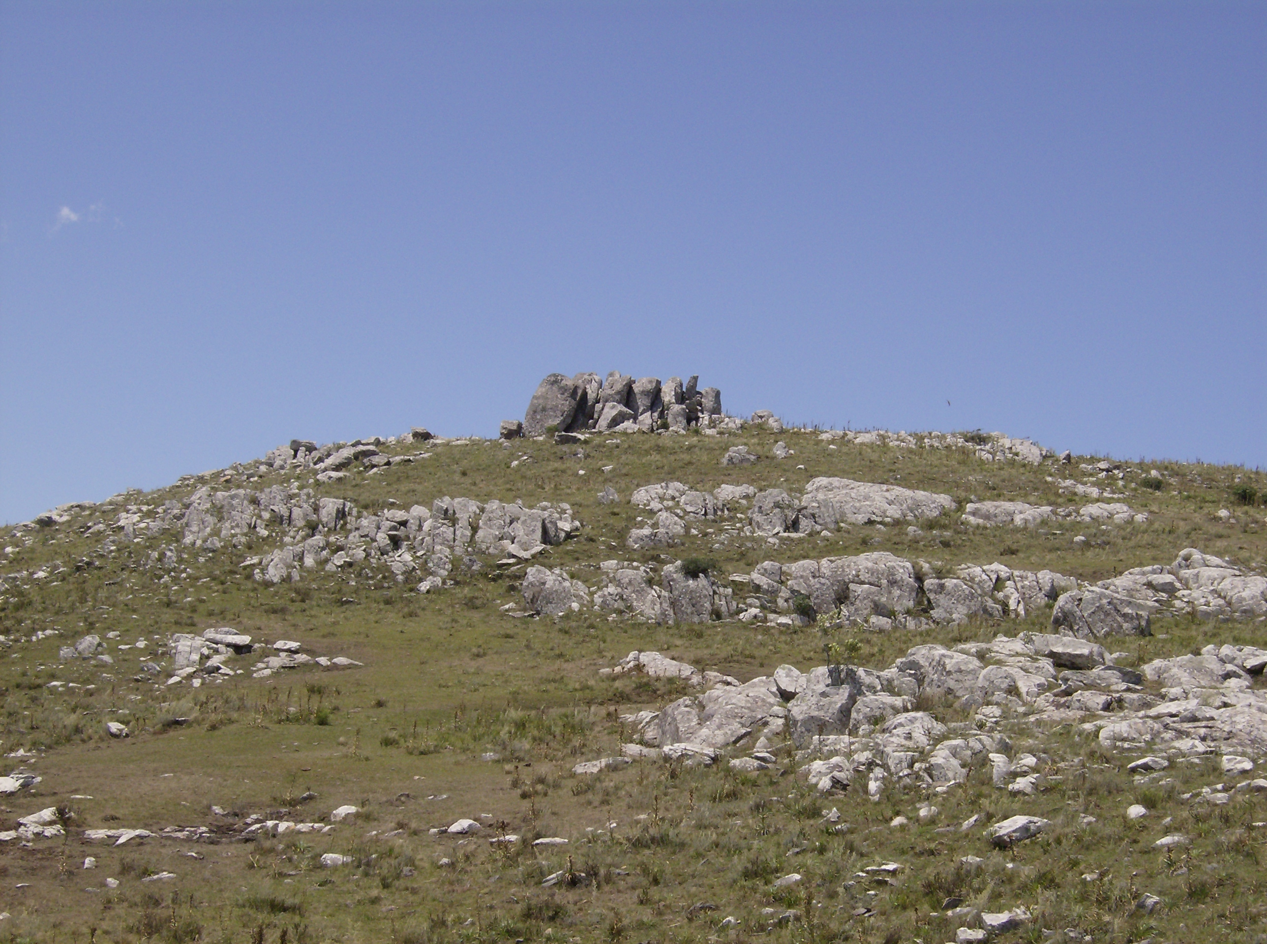 Cerro Catedral, the highest point in Uruguay. | |
| Highest point | |
| Peak | Cerro Catedral (Cathedral Hill) |
| Elevation | 513.66 m (1,685.2 ft) |
| Coordinates | 34°22′0″S 54°40′0″W |
| Geography | |
 Cuchilla Grande Location in Uruguay | |
| Country | Uruguay |
| Geology | |
| Age of rock | Precambrian |
| Type of rock | Granite, gneiss |
Noted features
In the southern part of this range, there is the Cerro Catedral, the highest point of the country. This hill is situated in the Maldonado Department.
Also found in this range is the Cerro Pan de Azúcar, likewise situated in the Maldonado Department, near Piriápolis.
Secondary ranges
- Cuchilla de Mansavillagra
- Sierra Carapé
- Sierra Aceguá
- Sierra de las Ánimas
- Cuchilla Grande Inferior
- Cuchilla de Cerro Largo
See also
- Geography of Uruguay
External links
- (in Spanish) Cerro Catedral, Site of the Municipality of Maldonado, Uruguay.
This article about a location in Uruguay is a stub. You can help Wikipedia by expanding it. |
На других языках
[de] Cuchilla Grande
Die Cuchilla Grande (zu deutsch: scharfer Kamm bzw. Schneide eines Messers) ist mit bis zu 513 Meter die bedeutendste Hügelkette in Uruguay.- [en] Cuchilla Grande
[es] Cuchilla Grande (Uruguay)
La Cuchilla Grande es una cordillera de cuchillas, que cruza el territorio de Uruguay de oriente a poniente por el sur del Río Negro. Se origina en la región de la Sierra Aceguá (400 m de altitud) luego decae para volverse a elevar cuando se desprende hacia el este, la Cuchilla del Olimar y la Sierra de Sosa. Hacia el oeste se desprenden varios ramales. La Cuchilla Grande del Durazno que delimita la divisoria de aguas entre el Río Negro y el Río Yí. La Cuchilla Grande Inferior, pierde altura hacia el oeste con los nombres de Cuchilla de Santo Domingo, Cuchilla del Pintado; luego se divide en 3 ramas: Cuchilla del Bizcocho, de San Salvador y de Colonia acercándose a las márgenes del Río Uruguay y del Río de la Plata. Más al sur la Cuchilla Grande del Sur, atraviesa con escasa altura los departamentos de Canelones y Montevideo.[ru] Кучилья-Гранде
Кучилья-Гранде (исп. Cuchilla Grande) — возвышенность на востоке Уругвая. Разделяет бассейны реки Уругвай и озера Лагоа-Мирин. Сложена гранитами. На возвышенности находится гора Серро-Катедраль высотой 514 метров — наивысшая точка страны. Растительность — субтропическая саванна, местами вечнозелёные и листопадные леса и кустарники[1][2].Текст в блоке "Читать" взят с сайта "Википедия" и доступен по лицензии Creative Commons Attribution-ShareAlike; в отдельных случаях могут действовать дополнительные условия.
Другой контент может иметь иную лицензию. Перед использованием материалов сайта WikiSort.org внимательно изучите правила лицензирования конкретных элементов наполнения сайта.
Другой контент может иметь иную лицензию. Перед использованием материалов сайта WikiSort.org внимательно изучите правила лицензирования конкретных элементов наполнения сайта.
2019-2026
WikiSort.org - проект по пересортировке и дополнению контента Википедии
WikiSort.org - проект по пересортировке и дополнению контента Википедии