geo.wikisort.org - Mountains
Carter Dome, or simply The Dome,[3] is a mountain located in Coos County, New Hampshire. The mountain is part of the Carter-Moriah Range of the White Mountains, which runs along the northern east side of Pinkham Notch. Carter Dome is flanked to the northeast by Mount Hight and to the southwest by Wildcat Mountain (across Carter Notch).
| Carter Dome | |
|---|---|
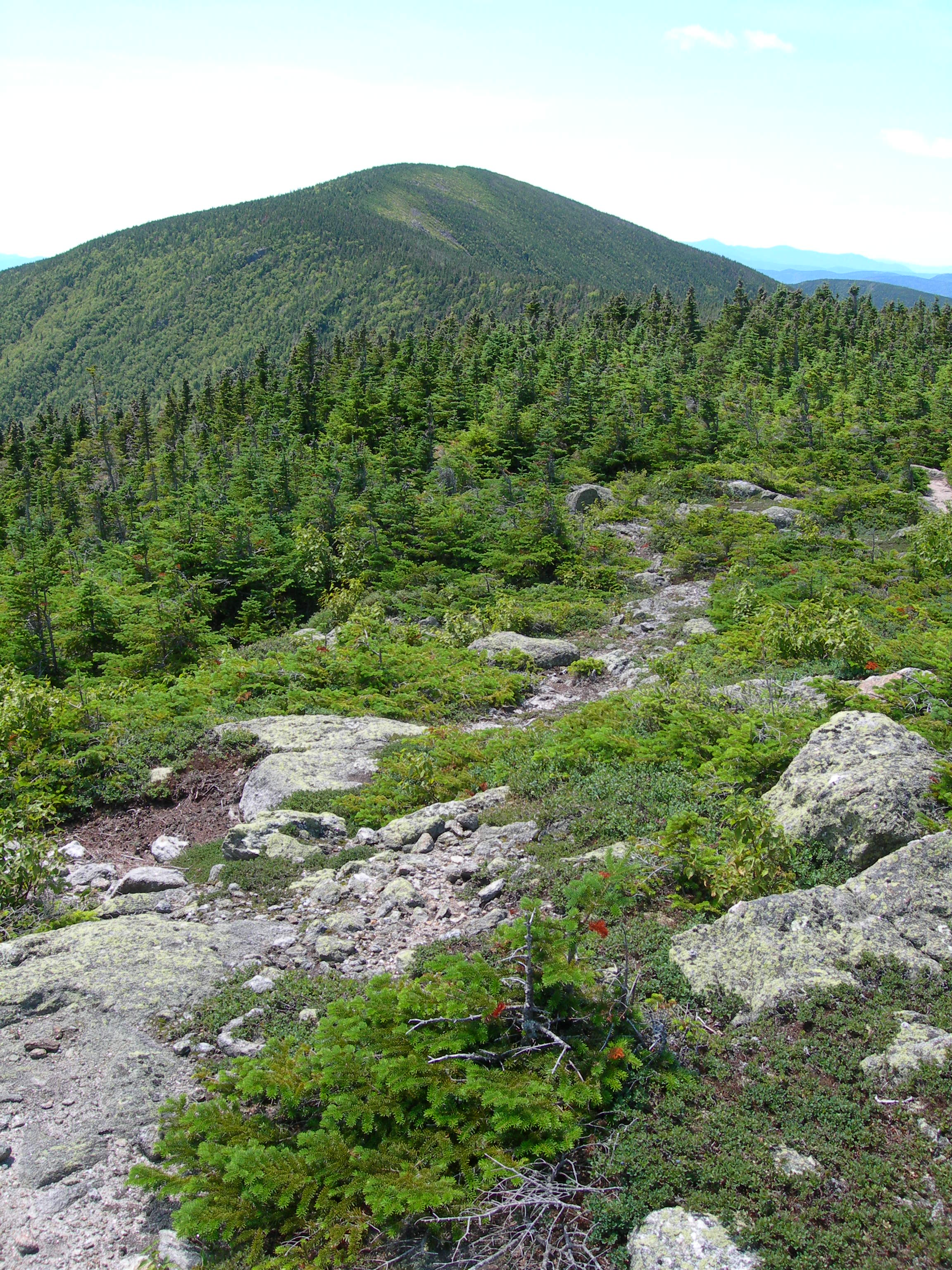 Carter Dome seen from Mt. Hight | |
| Highest point | |
| Elevation | 4,832 ft (1,473 m)[1] |
| Prominence | 2,821 ft (860 m)[1] |
| Listing | White Mountain 4000-Footers #12 New England 50 Finest |
| Coordinates | 44°16′02″N 71°10′44″W[2] |
| Geography | |
| Location | Coös County, New Hampshire, U.S. |
| Parent range | Carter-Moriah Range |
| Topo map | USGS Carter Dome |
The origins of Carter Dome's name is unknown. Local folklore suggests that it was named after a hunter named Carter, while a neighboring peak is named after his hunting partner, Hight.[4]
The mountain is ascended from the west by the Carter Dome Trail and Nineteen Mile Brook Trail, and from the east by the Black Angel Trail.[5]
See also
- Four-thousand footers
- List of mountains in New Hampshire
- White Mountain National Forest
References
- "Carter Dome, New Hampshire". Peakbagger.com. Retrieved 2013-02-01.
- "Carter Dome". Geographic Names Information System. United States Geological Survey, United States Department of the Interior. Retrieved 2013-02-01.
- Steve Eastman. Fire Lookouts of Old, The Mountain Ear, 1988.
- Lillard, David. E. Appalachian Trail Names. Stackpole Books. Retrieved 2008-06-16.
- "Carter Dome". Hikethewhites.com. Retrieved 2011-10-31.
External links
- "Hiking Carter Dome". Appalachian Mountain Club.
- "Carter Dome". SummitPost.org.
This New Hampshire state location article is a stub. You can help Wikipedia by expanding it. |
На других языках
- [en] Carter Dome
[ru] Картер-Доум
Картер-Доум (англ. Carter Dome) — гора в округе Коос (Нью-Гэмпшир).Другой контент может иметь иную лицензию. Перед использованием материалов сайта WikiSort.org внимательно изучите правила лицензирования конкретных элементов наполнения сайта.
WikiSort.org - проект по пересортировке и дополнению контента Википедии