geo.wikisort.org - Island
Visokoi Island is an uninhabited island in the Traversay Islands group of the South Sandwich Islands. It was discovered in 1819 by a Russian expedition under Fabian Gottlieb von Bellingshausen, who initially named the island Thorson Island in honor of Lieutenant Konstantin Thorson, though the tsarist government later renamed the island Visokoi ("high"), after its conspicuous height, in response to Thorson's participation in the Decembrist revolt.[1][2] The island was surveyed in 1930 by Discovery Investigations (DI) personnel, who charted and named many of its features.[3][4] Several of the names given by DI were changed in 1953 by the United Kingdom Antarctic Place-Names Committee (UK-APC) to avoid redundancy with nearby features.[3][5]
 South Sandwich Islands | |
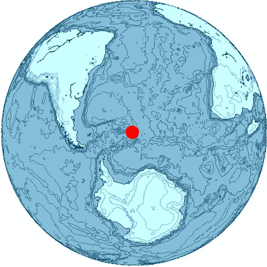 Location of Visokoi Island | |
| Geography | |
|---|---|
| Coordinates | 56°42′S 027°12′W |
| Archipelago | South Sandwich Islands |
| Length | 7.2 km (4.47 mi) |
| Width | 4.8 km (2.98 mi) |
| Highest elevation | 1,005 m (3297 ft) |
| Highest point | Mount Hodson |
| Administration | |
United Kingdom | |
| Demographics | |
| Population | Uninhabited |
Geography
The island is 7.2 km (4.5 miles) long and 4.8 km (3.0 miles) wide, capped by Mount Hodson, a volcanic peak (1,005 metres or 3,297 feet).[2] The peak is named after Sir Arnold Weinholt Hodson, a governor of the Falkland Islands.[6] The island has a strong smell of sulphurous fumes.[5] The island is surrounded by an underwater shelf that extends out approximately 2.3–6 km (1.4–3.7 mi), at a depth of approximately 200 m (660 ft).[7]
Finger Point marks the island's northern tip. It was named descriptively by DI in 1930.[8]
Wordie Point is the south-west point of the island. DI personnel named it for Scottish geologist and polar explorer James Wordie.[9] 1.5 nmi (2.8 km) north of it is Sulphur Point, whose reddish ground is streaked with sulphur. Originally called West Bluff by DI personnel, it was renamed by UK-APC to avoid confusion with West Bluff on nearby Zavodovski Island.[5]
Irving Point, first discovered by von Bellingshausen's expedition, forms the eastern extremity of the island. DI personnel named it "Penguin Point," but UK-APC changed it to avoid redundancy with other similarly named locations. Irving Point was chosen for Royal Navy Lieutenant Commander J. Irving, who sketched the South Sandwich Islands from the Discovery II.[3]
1.3 nmi (2.4 km) northwest of Irving Point lies Saddle Bluff, named by DI personnel.[10] Nearby Shamrock Hill, a prominent volcanic cone, was named by the survey party from HMS Protector because they occupied this feature as a survey station on Saint Patrick's Day, 1964.[11]
Mikhaylov Point is a small promontory marking the island's southern extremity. It was named "Low Point" by DI personnel, but the name was changed by UK-APC to avoid duplication with Low Point on nearby Vindication Island. The name "Mikhaylov Point" was recommended for Pavel N. Mikhaylov, artist aboard the Vostok during the Russian expedition under von Bellingshausen.[4]
See also
- List of Antarctic and sub-Antarctic islands
References
- Mills, William James (2003). Exploring polar frontiers: a historical encyclopedia. A - L. ABC-CLIO. p. 680. ISBN 978-1-57607-422-0. Retrieved 6 January 2012.
- "Visokoi Island". Geographic Names Information System. United States Geological Survey. Retrieved 21 May 2019.
- "Irving Point". Geographic Names Information System. United States Geological Survey. Retrieved 21 May 2019.
- "Mikhaylov Point". Geographic Names Information System. United States Geological Survey. Retrieved 21 May 2019.
- "Sulphur Point". Geographic Names Information System. United States Geological Survey. Retrieved 21 May 2019.
- "Mount Hodson". Geographic Names Information System. United States Geological Survey. Retrieved 21 May 2019.
- Advances in Marine Biology. Academic Press. 14 August 2015. p. 21. ISBN 9780128023556.
- "Finger Point". Geographic Names Information System. United States Geological Survey. Retrieved 21 May 2019.
- "Wordie Point". Geographic Names Information System. United States Geological Survey. Retrieved 21 May 2019.
- "Saddle Bluff". Geographic Names Information System. United States Geological Survey. Retrieved 21 May 2019.
- "Shamrock Hill". Geographic Names Information System. United States Geological Survey. Retrieved 21 May 2019.
Further reading
- LeMasurier, W. E.; Thomson, J. W., eds. (1990). Volcanoes of the Antarctic Plate and Southern Oceans. American Geophysical Union. ISBN 0-87590-172-7.
- Hodson Volcano
Capital: King Edward Point | |||||||
| General |
| ||||||
| Settlements / Whaling stations |
| ||||||
| South Georgia islands |
| ||||||
| South Sandwich Islands |
| ||||||
| Seamounts | |||||||
| Landmarks |
| ||||||
![]() This article incorporates public domain material from websites or documents of the United States Geological Survey.
This article incorporates public domain material from websites or documents of the United States Geological Survey.
This South Georgia and the South Sandwich Islands location article is a stub. You can help Wikipedia by expanding it. |
На других языках
[de] Visokoi Island
Visokoi Island ist eine unbewohnte Vulkaninsel des im südlichen Atlantischen Ozean gelegenen Britischen Überseegebietes „Südgeorgien und die Südlichen Sandwichinseln“.- [en] Visokoi Island
[es] Isla Visokoi
La isla Visokoi es una isla cubierta de hielo y de forma ovalada[1] que integra el archipiélago Marqués de Traverse, el cual a su vez forma parte de las islas Sandwich del Sur en el océano Atlántico Sur.[fr] Île Visokoi
L’Île Visokoi est une île volcanique inhabitée des îles Sandwich du Sud. Elle fut découverte en 1819 par une expédition russe sous les ordres de Fabian Gottlieb von Bellingshausen, qui l’a nommée ainsi en raison de sa hauteur apparente (visokoi signifie « haut » en russe).[it] Isola di Visokoi
Visokoi è un'isola disabitata nell'arcipelago delle Isole Traversay nelle Isole Sandwich Australi. Venne scoperta nel 1819 da una spedizione russa guidata da Fabian Gottlieb von Bellingshausen, che nominò l'isola "Visokoi" (ossia "alta") a causa della sua elevazione piuttosto cospicua per la zona.[1][ru] Высокий (остров, Южные Сандвичевы острова)
Высо́кий (англ. Visokoi Island) — небольшой необитаемый остров в архипелаге Южные Сандвичевы острова в южной части Атлантического океана. Архипелаг входит в состав заморской территории Великобритании Южная Георгия и Южные Сандвичевы Острова (то есть принадлежит Великобритании, но не являются её частью).Другой контент может иметь иную лицензию. Перед использованием материалов сайта WikiSort.org внимательно изучите правила лицензирования конкретных элементов наполнения сайта.
WikiSort.org - проект по пересортировке и дополнению контента Википедии