geo.wikisort.org - Island
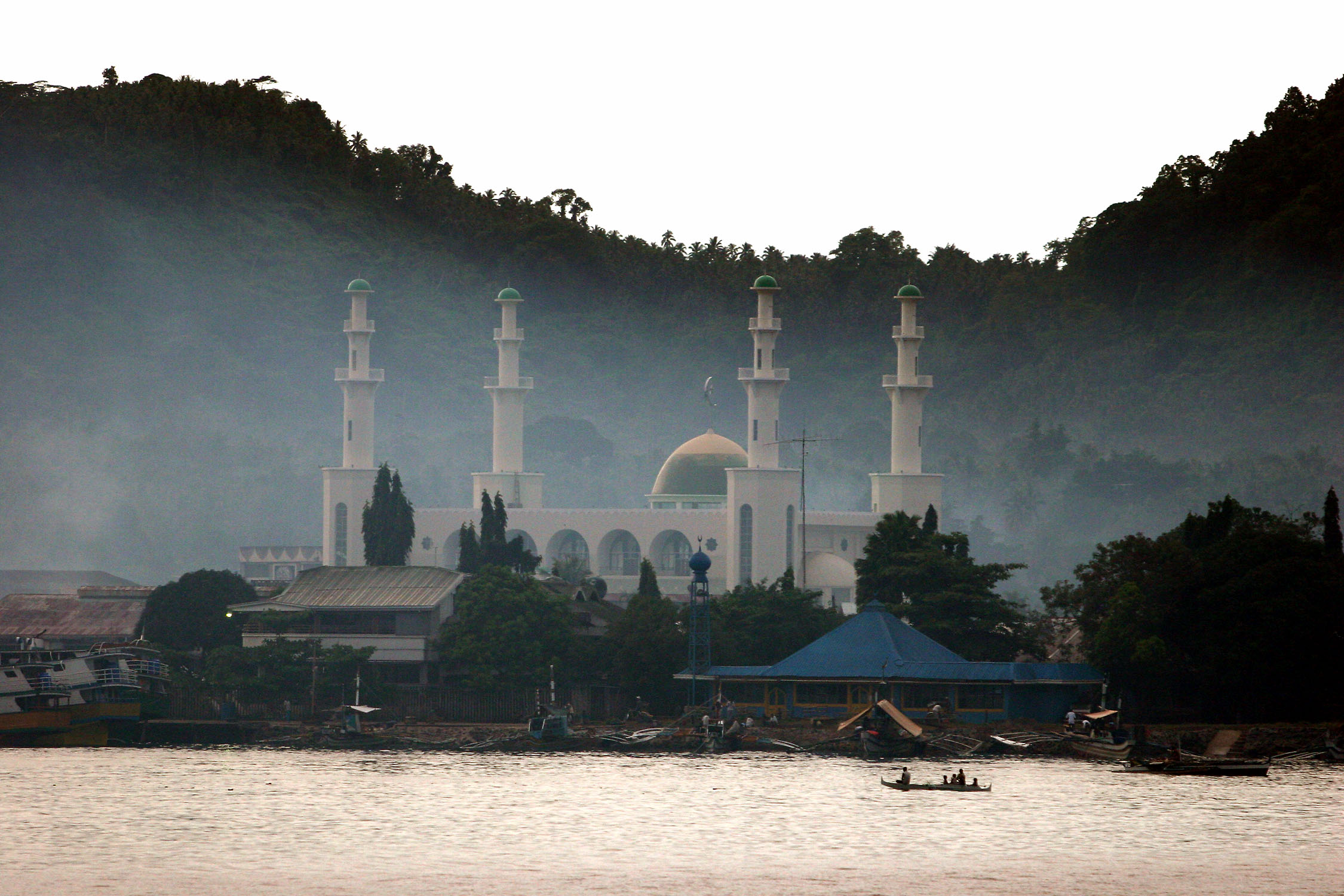
Jolo (Tausug: Sūg) is a volcanic island in the southwest Philippines and the primary island of the province of Sulu, on which the capital of the same name is situated. It is located in the Sulu Archipelago, between Borneo and Mindanao, and has a population of approximately 500,000 people.
Native name: Sūg / Lupah Sug | |
|---|---|
 Satellite image of Jolo | |
 Jolo Location within the Philippines | |
| Geography | |
| Coordinates | 5°58′23″N 121°9′0″E |
| Archipelago | Sulu archipelago |
| Adjacent bodies of water | |
| Major islands |
|
| Area | 869 km2 (336 sq mi) |
| Highest elevation | 803 m (2635 ft) |
| Highest point | Mount Tumatangis |
| Administration | |
Philippines | |
| Region | Bangsamoro Autonomous Region in Muslim Mindanao |
| Province | Sulu |
| Municipalities | |
| Largest settlement | Jolo (pop. 87,998) |
| Demographics | |
| Population | 530,000 (2015) |
| Pop. density | 515.6/km2 (1335.4/sq mi) |
| Ethnic groups |
|
The island is the location of the Jolo Group of Volcanoes, and contains numerous volcanic cones and craters, including the active Bud Dajo cinder cone. It has been the headquarters of militants from the terrorist group Abu Sayyaf.
History
This section needs additional citations for verification. (June 2015) |

After a series of less-than-successful attempts during the centuries of Spanish rule in the Philippines, Spanish forces captured the city of Jolo, the seat of the Sultan of Sulu, in 1876.
On that year, the Spanish launched a massive campaign to occupy Jolo. Spurred by the need to curb slave raiding once and for all and worried about the presence of other Western powers in the south (the British had established trading centers in Jolo by the 19th century and the French were offering to purchase Basilan Island from the cash strapped government in Madrid, Spain), the Spanish made a final bid to consolidate their rule in this southern frontier. On 21 February of that year, the Spaniards assembled the largest contingent against Jolo, consisting of 9,000 soldiers, in 11 transports, 11 gunboats, and 11 steamboats. Headed by Admiral Jose Malcampo, the contingent captured Jolo and established a Spanish settlement with Capt. Pascual Cervera appointed to set up a garrison and serve as military governor; he served from March 1876 to December 1876 followed by Brig. Gen. Jose Paulin (December 1876 – April 1877), Col. Carlos Martinez (Sept 1877 – Feb 1880), Col. Rafael de Rivera (1880–1881), Col. Isidro G. Soto (1881–1882), Col. Eduardo Bremon, (1882), Col. Julian Parrado (1882–1884), Col. Francisco Castilla (1884–1886), Col. Juan Arolas (1886–1893), Col. Caesar Mattos (1893), Gen. Venancio Hernandez (1893–1896) and Col. Luis Huerta (1896–1899).

By 1878 the Spaniards had fortified Jolo with a perimeter wall and tower gates, built inner forts called Puerta Blockaus, Puerta España, and Puerta Alfonso XII; and two outer fortifications named Princesa de Asturias and Torre de la Reina. Troops, including a cavalry with its own lieutenant commander, were garrisoned within the protective confine of the walls. From Jolo, in 1880 Col. Rafael Gonzales de Rivera who was appointed the governor dispatched the 6th Regiment to Siasi and Bongao islands. The Spaniards were not secure in their stronghold because it would be sporadically attacked. On 22 July 1883, it is reported that three unnamed juramentado succeeded in penetrating the Jolo town plaza and killed three Spaniards.; The word "Ajuramentado" was coined by Spanish colonel Juan Arolas after witnessing several such acts while serving duty in Jolo garrison.
The Spanish and the Sultan of Sulu signed the Treaty of Peace on July 22, 1878.[1][2]
The Americans arrived in 1899, and by the turn of the century, the Philippine–American War was raging in Luzon. So as not to spread out their forces, the Americans employed the classic divide-and-rule tactic.[3]

Initially, Sultan Kiram was disappointed by the hand-over of control to the Americans and had expected to regain sovereignty over the Sulu archipelago after the defeat of the Spanish.[citation needed] Brig. General John C. Bates's main goal though, was to guarantee the Sultanate's neutrality in the Philippine–American War, and to establish order in Mindanao. After some negotiations, the Bates Treaty was signed.[4]
This treaty was based on the earlier Spanish treaty, and it retained the translation discrepancy: the English version described a complete dependency, while the Tausug version described a protectorate.[citation needed] Although the Bates Treaty granted more powers to the Americans than the original Spanish treaty, the treaty was still criticized in America for granting too much autonomy to the Sultan.[citation needed] One particular clause, which recognized the Moro practice of slavery, also raised eyebrows in Washington, D.C. Bates later admitted that the treaty was merely a stop-gap measure, signed only to buy time until the war in the north was ended and more forces could be brought to bear in the south.[citation needed] The peace created by the Bates Treaty did not last, however.[citation needed] This became evident when the Muslims repudiated the Moro province, a politico-military government in Mindanao lasting from 1903 to 1914, and the Moro Rebellion soon broke out. It is important to note that barely two months before the creation of the Moro province, the American colonial government declared and classified all unoccupied lands as public lands.[citation needed] Immediately after the declaration, American investments entered Mindanao and mass migration of Christians was encouraged.[5] Severina Luna de Orosa and her husband Sixto Orosa were the first Christian doctors to work in Jolo, bringing western medicine to the region.
Jolo was occupied by the Japanese during World War II. On April 2, 1945, the 2nd Battalion of the U.S. 163rd Regiment, 41st Division (formerly the Montana National Guard) landed at Sanga Sanga and Bongao in the Sulu Archipelago, halfway between the island of Borneo and the Philippines. A week later, the other two battalions of the regiment left Mindanao and landed at Jolo, where they began fighting their way up heavily defended Mount Daho, the highest point on the island. The Sultan of Jolo, Muhammad Janail Abirin the 2nd, leader of the archipelago's 300,000 Moslems, welcomed Col. William J. Moroney, commander of the 163rd, and promised to help rid the island of Japanese. In three weeks of combat the 163rd suffered 37 dead and 191 wounded. Approximately 2,600 Japanese troops were killed, and only 87 Japanese soldiers were captured or surrendered in Jolo. Local fighters killed many Japanese stragglers hiding in the jungle after the Imperial Army surrendered in August, 1945.[6]
Fighting on the island flared up again in February 2005 when between 4,000 and 5,000 Philippine troops clashed with around 800 Islamist militants from the Abu Sayyaf group, along with followers of Nur Misuari. Up to 12,000 people were thought to have fled the fighting. Fighting is still continuing today.
On 27 January 2019 the Cathedral of Our Lady of Mount Carmel in Jolo was bombed.[7]
Kidnappings
On 22 September 2015, Kjartan Sekkingstad, age 56, from Sotra, Norway, was abducted by Abu Sayyaf Islamist guerrillas from a high-end tourist resort on Samal Island, along with 2 Canadian men, John Ridsdel, age 68, and Robert Hall, age 67, and a Filipina woman, Marites Flor, Hall’s girlfriend. In April and June 2016, the Canadians were beheaded after ransoms were not paid, and in June 2016 Flor was released.[8] On 17 September 2016, Sekkingstad was released on Jolo island, about 600 miles south of Manila, after Islamist captor Aby Sayyaf received $638,000 in ransom for his release. He was handed over to the rebel group Moro National Liberation Front (MNLF). The MNLF is in peace talks with the government and had been working with authorities to secure his release. It is not known who has paid the ransom, but it is not Norwegian authorities.
See also
- List of active volcanoes in the Philippines
- List of potentially active volcanoes in the Philippines
- List of inactive volcanoes in the Philippines
- List of islands of the Philippines
- Philippine Institute of Volcanology and Seismology
- Jolo, Sulu
References
- Controversy exists over terminology used in the Spanish-language and Tausug language versions of the treaty and whether Spain was given complete sovereignty over the Sulu archipelago, including Basilan, or whether a "protectorate-ship" was entered into
- Spanish text of treaty can be viewed in Coleccion de los tratados, convenios y documentos internationales, text also published in the Gaceta de Manila, Año XVlll, Tomo II, numero 0052 (August 21, 1878)
- Beede, Benjamin R. (1994). The War of 1898, and U.S. Interventions, 1898–1934: An Encyclopedia. Taylor & Francis. p. 42. ISBN 9780824056247. Retrieved 8 March 2013.
- Kho, Madge. "The Bates Treaty". Philippine Update. Retrieved 26 June 2015.
- Rodil 1985:4.
- Glynn, Gary. Montana's Home Front During World War II, 2nd ed. Big Elk Books. 2012.
- "Jolo church attack: Many killed in Philippines". BBC. Retrieved 2019-01-27.
- Tatone, Joseph (17 September 2016). "Abu Sayyaf has released Sekkingstad". Retrieved 27 January 2019.
- Royal Sulu
- "Jolo". Global Volcanism Program. Smithsonian Institution.
External links
 Geographic data related to Jolo at OpenStreetMap
The 40 largest islands of the Philippines | ||
|---|---|---|
| ||
| ||
| Authority control |
|---|
На других языках
[de] Jolo
Jolo (ausgesprochen „Holo“) ist eine 893 km² große philippinische Insel mit etwa 530 000 Einwohnern für das Jahr 2005.- [en] Jolo
[es] Isla de Joló
Joló (joloano: Sūg) es una isla en el suroeste de Filipinas. Está ubicada en el archipiélago de Joló, entre Mindanao y Borneo, y tiene una población de aproximadamente 300.000 personas. Joló también es el nombre de una localidad en la isla, que es a su vez la capital de la provincia de Joló. Aproximadamente, un tercio de la población vive en el municipio de Joló.[fr] Jolo
Jolo est une île volcanique du sud-sud-ouest des Philippines. Elle est située dans l'archipel des Sulu, entre Mindanao et Bornéo. L'île comprend de nombreux cônes et cratère volcanique dont l'actif Bud Dajo. L'île est bordée par la mer de Sulu au nord-ouest, à l'ouest et au sud-ouest, et par la mer de Célèbes à l'est et au sud-est.[it] Jolo (isola)
Jolo è un'isola in Filippine nella provincia di Sulu. Jolo è la più grande delle isole Sulu tra Mindanao e il Borneo. Capoluogo dell'isola è la città di Jolo dove vive circa un terzo della popolazione dell'isola. L'isola è caratterizzata da una quantità di coni e crateri vulcanici fra cui spicca il Monte Bud Dajo. La montagna più alta dell'isola è il Monte Tumantangis. Jolo è drammaticamente legata a episodi di terrorismo del gruppo paramilitare separatista islamico Abu Sayyaf, costituito nel 1991 proprio in queste aree.[ru] Холо
Холо (англ. Jolo) — остров вулканического происхождения на юго-западе Филиппин, в составе архипелага Сулу, протянувшегося между островами Минданао и Борнео (Калимантан). Площадь острова 868,5 км²[1]. Население острова Холо составляет приблизительно 447 700 человек (2000). Главный город острова, а также административный центр провинции Сулу — Холо.Другой контент может иметь иную лицензию. Перед использованием материалов сайта WikiSort.org внимательно изучите правила лицензирования конкретных элементов наполнения сайта.
WikiSort.org - проект по пересортировке и дополнению контента Википедии