geo.wikisort.org - Island
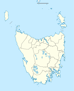
Betsey Island, along with the adjacent Little Betsey Island and Betsey Reef, forms a nature reserve with an area of 176 ha in south-eastern Australia. They are part of the Betsey Island Group, lying close to the south-eastern coast of Tasmania around the entrance to the River Derwent. It is classified as an Important Bird Area by BirdLife International; it is an important site for little penguins with an estimated 15,000 pairs breeding there,[1] short-tailed shearwaters (130,000-170,000 nesting burrows), and black-faced cormorants (over 200 breeding pairs).[2]
Native name: Temeteletta | |
|---|---|
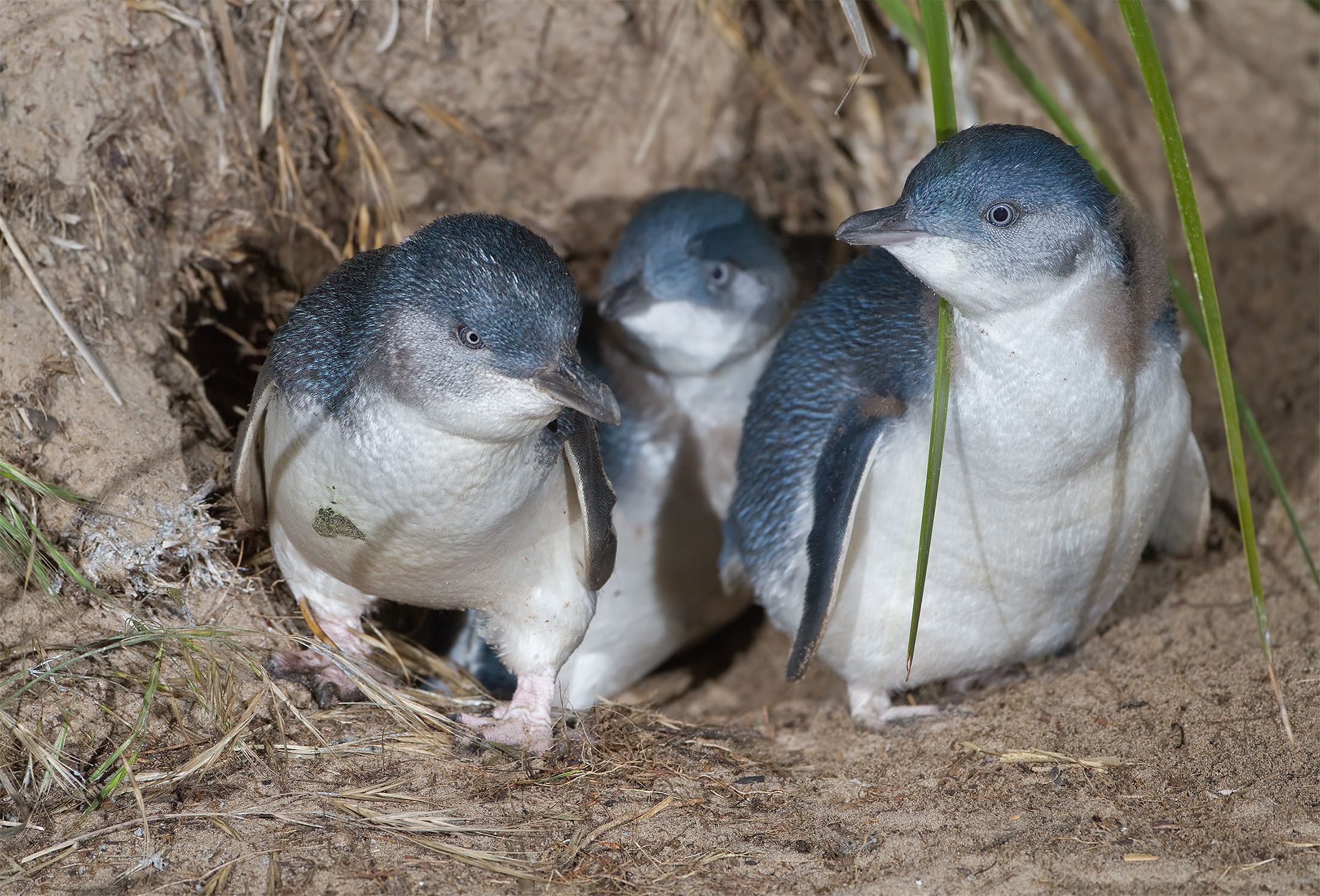 Betsey Island is an important breeding site for little penguins | |
 Betsey Island | |
| Geography | |
| Location | River Derwent |
| Coordinates | 43°03′S 147°29′E |
| Administration | |
Australia | |
| State | Tasmania |
Name
The Aboriginal name of the island is Temeteletta.[3]
The island has previously been known as Lady Franklin Island, Franklin Island, Betsy Island and Willaumez Island.[4]
The first European name of the island was 'Bett's Island' after an officer who was on board an early ship exploring the region.[5] Though an alternate explanation has been that a man called Betts was the original owner: 'The correct name is Betts's Island, the first owner having been a person of the name of Betts. Popular usage has sanctioned a different spelling.' (Cassell's Picturesque Australasia (1889): page 142)[6]
Flora and fauna
The northern part of the island is dominated by Tasmanian blue gum forest, with the southern part mainly sedgeland. There is succulent salt marsh on the west. Problem weeds are Cape Leeuwin wattle and boxthorn.
Apart from the penguins, shearwaters and cormorants, kelp gulls and white-bellied sea-eagles have nested there. European rabbits have been present on the island since 1825. Reptiles present include the she-oak skink and White's skink.[1]
References
- Brothers, Nigel; Pemberton, David; Pryor, Helen; & Halley, Vanessa. (2001). Tasmania's Offshore Islands: seabirds and other natural features. Tasmanian Museum and Art Gallery: Hobart. ISBN 0-7246-4816-X
- "IBA: Betsey Island". Birdata. Birds Australia. Archived from the original on 6 July 2011. Retrieved 18 May 2011.
- Milligan, Joseph (1858). "On the dialects and languages of the Aboriginal Tribes of Tasmania, and on their manners and customs" (PDF). Papers of the Royal Society of Tasmania: 271.
- "HISTORY OF BETSY ISLAND". The Mercury. Hobart, Tasmania. 14 October 1913. p. 4. Retrieved 5 January 2016 – via National Library of Australia.
- "Hobart Town and the South". Launceston Examiner (Tas. : 1842 - 1899). p. 3.
- "Cassell's Picturesque Australasia. Edited by E. E. M. With ... Illustrations Volume 1. 2".
| Buildings and structures: |
|
|---|---|
| Institutions: |
|
| Entertainment: |
|
| Galleries and museums: |
|
| Sports: |
|
| Transport: |
|
| Nature and parks: |
|
| Precincts: |
|
| Beaches and islands: | |
This Tasmania geography article is a stub. You can help Wikipedia by expanding it. |
На других языках
- [en] Betsey Island
[fr] Île Betsey
L’île Betsey est une île située à proximité de la côte sud-est de la Tasmanie, près de l'estuaire de la Derwent River, à quelques centaines de mètres de la côte de la péninsule de South Arm ; avec la petite île Betsey et le récif Betsey, elle forme la réserve naturelle de l'archipel Betsey, d'une superficie de 176 hectares. Le nord de l'île est occupé par une forêt de gommiers bleus, et des prairies de carex au sud.Другой контент может иметь иную лицензию. Перед использованием материалов сайта WikiSort.org внимательно изучите правила лицензирования конкретных элементов наполнения сайта.
WikiSort.org - проект по пересортировке и дополнению контента Википедии