geo.wikisort.org - Coast
Kapu was renamed Kaup by the British. Kapu (Kaup) is a town situated in the Udupi district of Karnataka, India. It lies between the twin cities of Udupi and Mangalore, next to the National Highway 66. The villages Manchakal and Shirva are located near Kapu. It is 13 km south of Udupi and 40 km north of Mangalore. It is known for its lighthouse, the three Mariamman shrines, and the Kapu fort built by Tippu Sultan. Kapu was declared a taluk of the Udupi district by the Government of Karnataka.
This article needs additional citations for verification. (May 2021) |
Kaup, Karnataka | |
|---|---|
Town | |
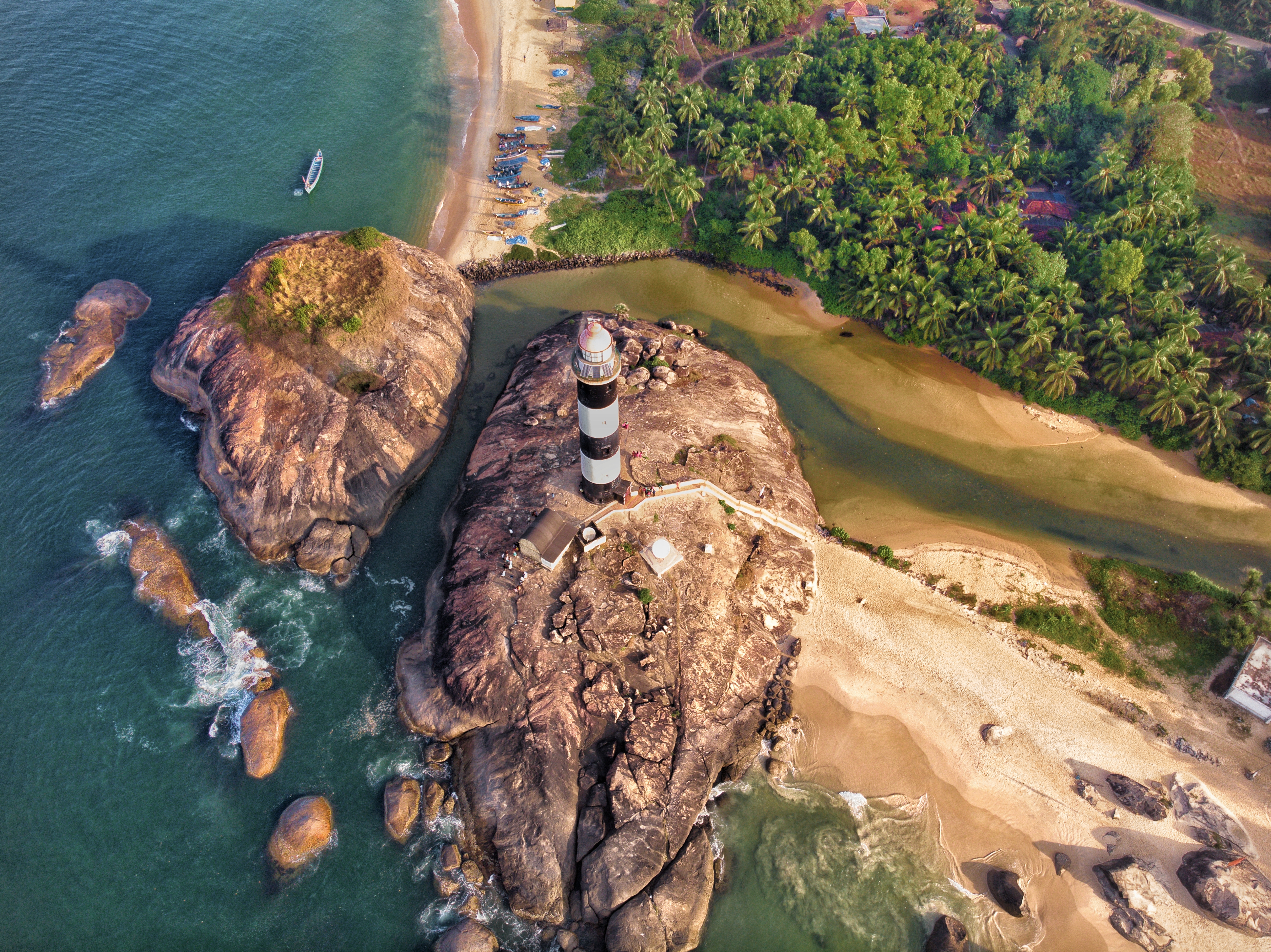 Aerial view of Kaup(Kapu) Beach Lighthouse | |
 Kaup, Karnataka Location in Karnataka, India  Kaup, Karnataka Kaup, Karnataka (India) | |
| Coordinates: 13.2238°N 74.7367°E | |
| Country | |
| State | Karnataka |
| District | Udupi District |
| Population | |
| • Total | 6,850 |
| Languages | |
| • Administrative | Tulu, Kannada |
| • Regional | Tulu, Konkani |
| Time zone | UTC+5:30 (IST) |
| PIN | 574106[1] |
| Telephone code | 0820[2] |
| ISO 3166 code | IN-KA |
| Vehicle registration | KA-20 |
| Website | www |
Kapu lighthouse
The Kapu lighthouse was built in 1901 by the East India Company, on the shores of the Arabian Sea close to Kaup Beach. It is 27.12 meters tall.
Religious places
- Sri Hale Mariamma Temple
- Koti Chenaya Temple
- New Maari Gudi
- Shri Laxmi Janardhana Temple, Kaup
- Konkani Mutt
- Sri Vasudeva Temple
- Islamic Dawah Center Kaup
- Shree Brahma Baidarkala Garadi – Paniyoor
- Juma Masjid-Polipu
Notable people
- Sandeep Shetty[3] – Actor
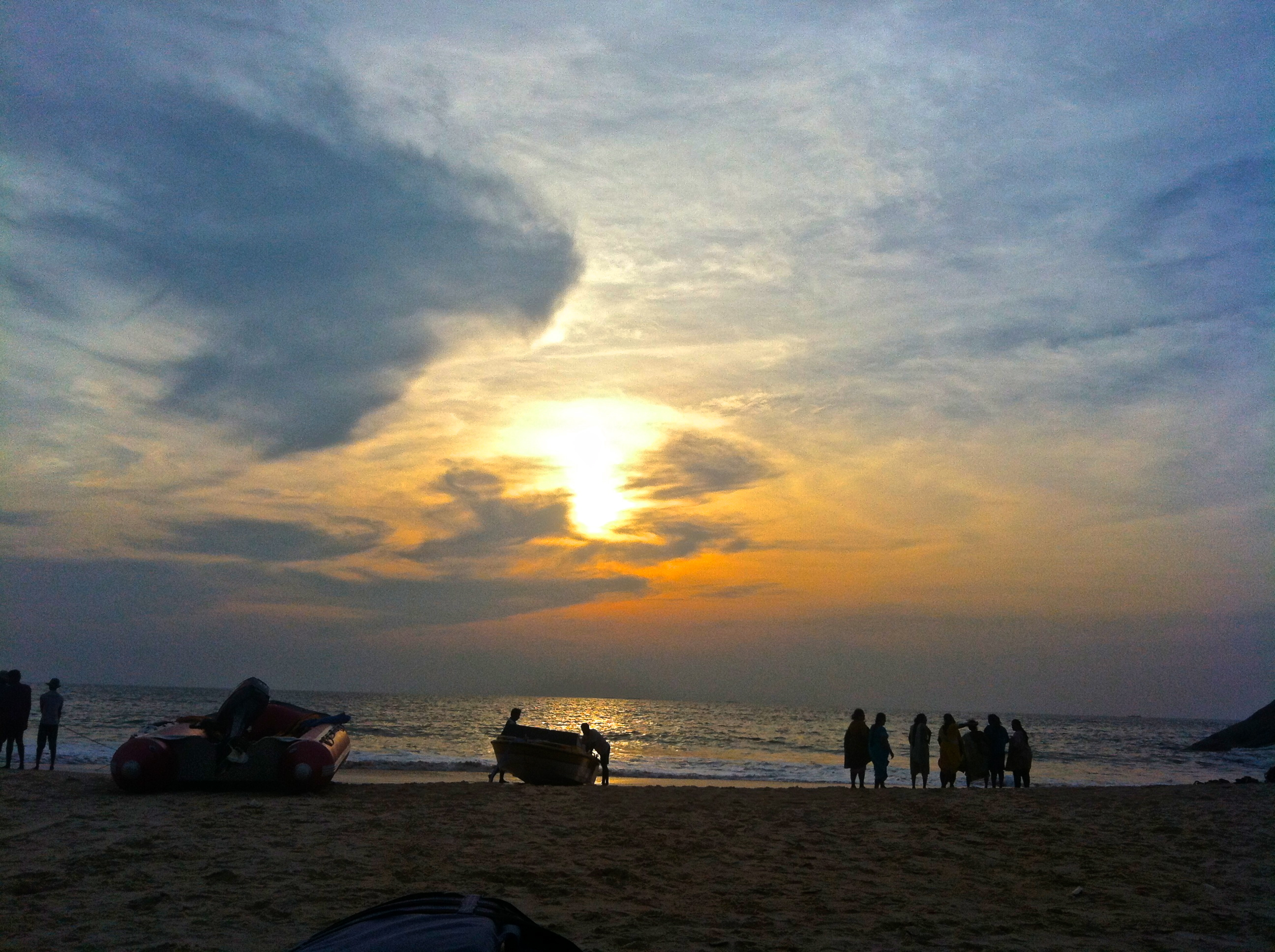
Gallery
 Late evening shot of Lighthouse of Kapu beach
 Kaup beach
 Kaup beach
 Kaup beach
 Lighthouse, Kaup beach
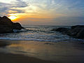 Kaup beach
 Kaup beach
 Kaup beach
 Kaup beach
 Kapu Beach panoramic view


References
- "Central Excise and Service Tax Location Code (Areas Under the Range West of Mangalore-II DVN (610201)". Central Excise and Service Tax. Retrieved 14 July 2008.[permanent dead link]
- "STD Codes for cities in Karnataka". Bharat Sanchar Nigam Limited (BSNL). Archived from the original on 17 April 2008. Retrieved 6 July 2008.
- "Daijiworld".
External links
Wikimedia Commons has media related to Kapu, Karnataka.
Текст в блоке "Читать" взят с сайта "Википедия" и доступен по лицензии Creative Commons Attribution-ShareAlike; в отдельных случаях могут действовать дополнительные условия.
Другой контент может иметь иную лицензию. Перед использованием материалов сайта WikiSort.org внимательно изучите правила лицензирования конкретных элементов наполнения сайта.
Другой контент может иметь иную лицензию. Перед использованием материалов сайта WikiSort.org внимательно изучите правила лицензирования конкретных элементов наполнения сайта.
2019-2026
WikiSort.org - проект по пересортировке и дополнению контента Википедии
WikiSort.org - проект по пересортировке и дополнению контента Википедии