geo.wikisort.org - Sea
Stonehouse Bay (67°21′S 68°5′W) is a bay in Antarctica on the west side of Laubeuf Fjord, indenting the east coast of Adelaide Island between Hunt Peak and Sighing Peak. The bay is 5 nautical miles (9 km) wide. It was first sighted and surveyed in January 1909 by the French Antarctic Expedition under Jean-Baptiste Charcot. The bay was named for Bernard Stonehouse of the Falkland Islands Dependencies Survey (FIDS), a meteorologist in 1947-48 and biologist in 1949 at Stonington Island and leader of the FIDS sledge party which resurveyed the bay in 1948.[1][2]
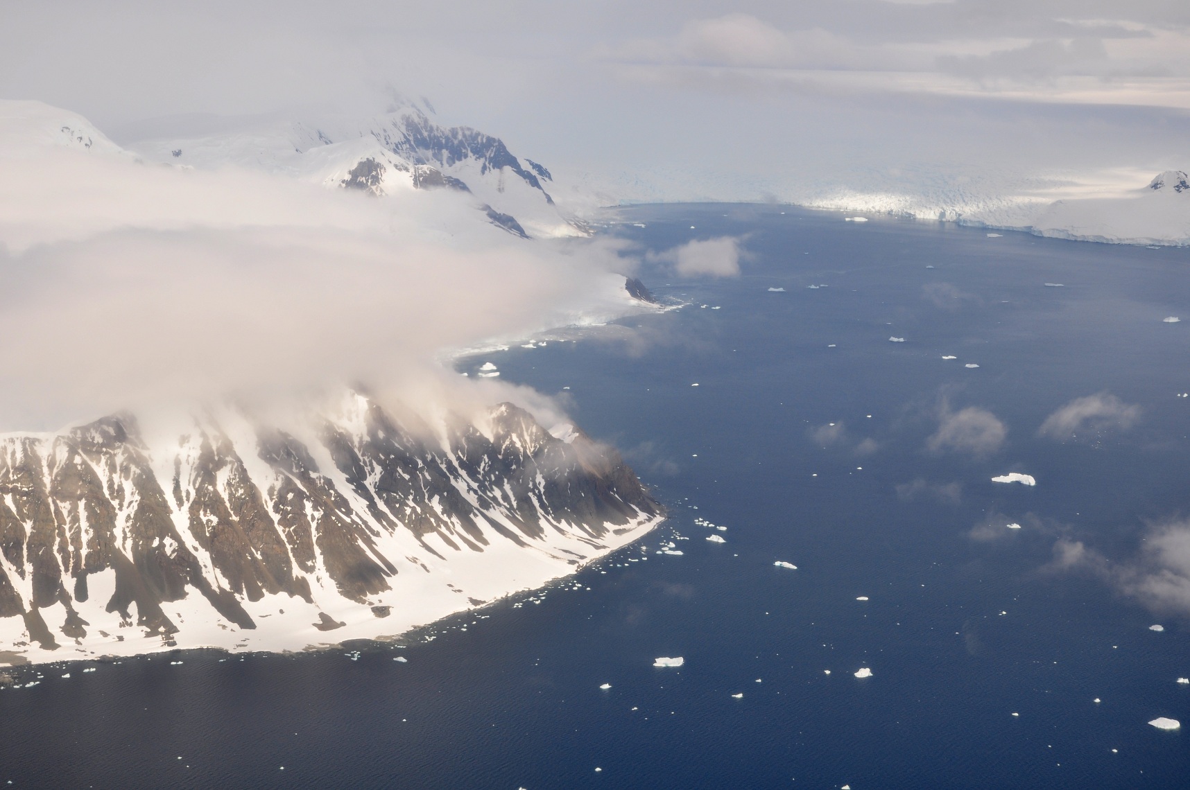
Adelaide Island's largest glacier, the Shambles Glacier, calves into Stonehouse Bay.[3]
References
- "Gazetteer - AADC".
- "U.S. Board on Geographic Names".
- British Antarctic Survey topographic map (Satellite Image Map) SQ 19-20/14 (Extended), Edition 1, 2010, Adelaide Island and Arrowsmith Peninsula, Scale 1:250.000
This Adelaide Island location article is a stub. You can help Wikipedia by expanding it. |
Текст в блоке "Читать" взят с сайта "Википедия" и доступен по лицензии Creative Commons Attribution-ShareAlike; в отдельных случаях могут действовать дополнительные условия.
Другой контент может иметь иную лицензию. Перед использованием материалов сайта WikiSort.org внимательно изучите правила лицензирования конкретных элементов наполнения сайта.
Другой контент может иметь иную лицензию. Перед использованием материалов сайта WikiSort.org внимательно изучите правила лицензирования конкретных элементов наполнения сайта.
2019-2026
WikiSort.org - проект по пересортировке и дополнению контента Википедии
WikiSort.org - проект по пересортировке и дополнению контента Википедии