geo.wikisort.org - River
The Panay River (known as Pan-ay River) is the longest river on Panay Island in the Philippines, with a total length of approximately 152 kilometres (94 mi)[1] and a drainage basin area of 2,203.76 square kilometres (850.88 sq mi).[2] It drains almost the entire province of Capiz and northern portion of Iloilo province.
| Panay River | |
|---|---|
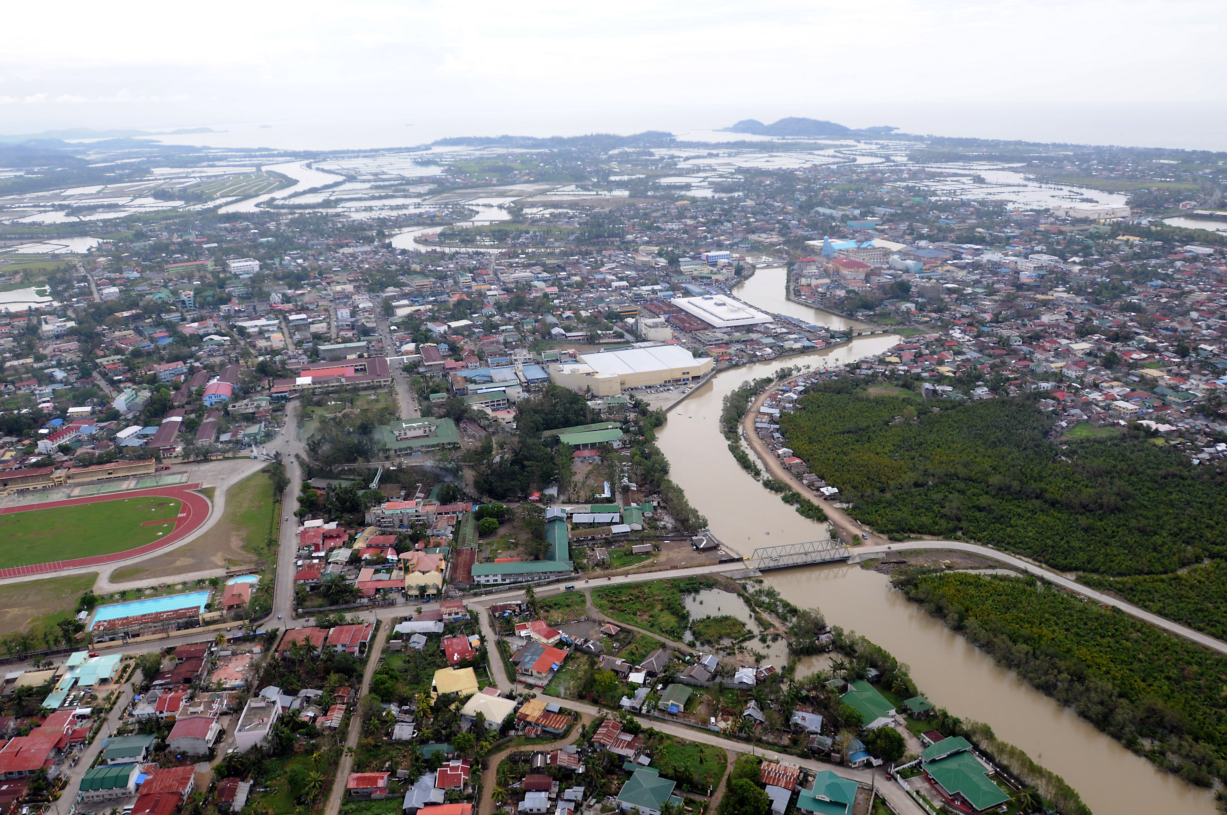 Panay River at Roxas City | |
 Panay River mouth  Panay River (Philippines) | |
| Location | |
| Country | Philippines |
| Region | Western Visayas |
| Province | Capiz |
| City/municipality | |
| Physical characteristics | |
| Source | Central Panay Mountain Range |
| • location | Mount Angas, Tapaz, Capiz |
| Mouth | Sibuyan Sea |
• location | Roxas, Capiz |
• coordinates | 11°35′05″N 122°42′57″E |
• elevation | 0 m (0 ft) |
| Length | 152 kilometres (94 mi)[1] |
| Basin size | 2,203.76 km2 (850.88 sq mi)[2] |
| Discharge | |
| • average | 119.75 m3/s (4,229 cu ft/s)[2] |
| Basin features | |
| Tributaries | |
| • left |
|
| • right |
|
The source of the Panay River is on the slopes of Mount Igabon–Mount Angas Mountain Range. Starting in Tapaz, it runs southward and changing its direction toward east-northeast to Dumalag and Cuartero, then traversing north through the municipalities of Dao and Panitan. In Panay the river splits, with the primary branch emptying into the Sibuyan Sea at Roxas City.[2]
Tributaries
The main tributaries of the river are the Tapaz River and Mambusao River on the left and the Badbaran River and Maayon River on the right.[1]
Panay River list of tributaries by length:
- Mambusao River (sub-basin area 487.86 km2 (188.36 sq mi)[2])
- Badbaran River (sub-basin area 342.52 km2 (132.25 sq mi)[2])
- Ma-ayon River (sub-basin area 358.76 km2 (138.52 sq mi)[2])
- Tapaz River
References
- "Capiz". Philippine Information Agency. Archived from the original on 28 June 2018. Retrieved 1 March 2019.
- "Integrated River Basin Management and Development Master Plan Panay River Basin" (PDF). riverbasin.denr.gov.ph. Department of Environment and Natural Resources (DENR). November 2014. Retrieved 5 March 2021.
This article about a location in Western Visayas region is a stub. You can help Wikipedia by expanding it. |
На других языках
[de] Panay (Fluss)
Der Panay (eng.: Panay River) ist ein Fluss in der Provinz Capiz auf den Philippinen. Er entspringt im Nacuron-Gebirge, dem westlichen Teil der Central-Panay-Berge, in der Nähe der Grenze zur Provinz Aklan. Der Panay hat eine Länge von 152 km und ein Wassereinzugsgebiet von 1843 km².- [en] Panay River
Другой контент может иметь иную лицензию. Перед использованием материалов сайта WikiSort.org внимательно изучите правила лицензирования конкретных элементов наполнения сайта.
WikiSort.org - проект по пересортировке и дополнению контента Википедии