geo.wikisort.org - River
The Jeneberang (Indonesian: Sungai Jeneberang) (Historical Name : Garassi River) is a river of approximately 75 km in length in the south-western half of the island of Sulawesi, Indonesia.[1] The catchment has an area of 760 square kilometers.[1][2]
| Jeneberang River Sungai Jeneberang, Jene Berang, River Gowa, Djene Berang, Soengai Beerang | |
|---|---|
 Location of river mouth  Jeneberang River (Indonesia) | |
| Location | |
| Country | Indonesia |
| State | South Sulawesi |
| Physical characteristics | |
| Source | Mount Bawakaraeng |
| • elevation | 2.833 m (9 ft 3.5 in) |
| Mouth | Makassar Strait |
| Length | 80 km (50 mi) |
| Basin size | 860 km2 (330 sq mi) |
Hydrology
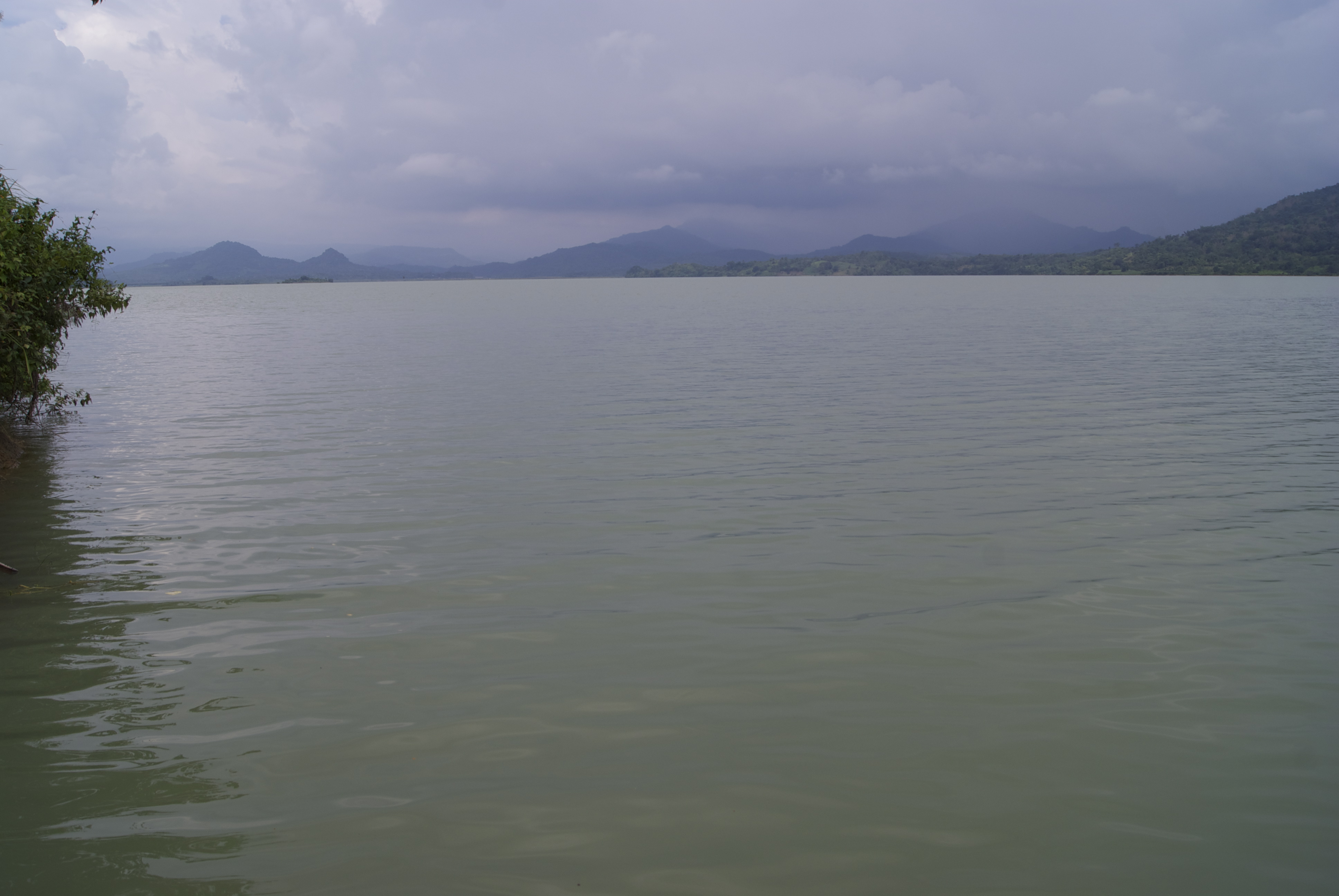
The river rises near the 2833 meter high mountain Mount Bawakaraeng and runs through the districts of Gowa and Takalar up to the port city of Makassar, flowing into the Makassar Strait.[1] The river has flooded the city regularly, notably in 1976.[1]
Approximately 40 km downstream is located is the 73 metre high Bili-Bili Dam, completed in 1999 with an internal volume of 380 million cubic meters.[1]
On 26 March 2004 a landslide occurred in the upper reaches of the Jeneberang, killing 32 people.[3] On 22 January 2019, the river overflowed due to heavy rain, causing a flood that killed dozens.[4]
Geography
The river flows in the southwest area of Sulawesi with predominantly tropical monsoon climate (designated as Am in the Köppen-Geiger climate classification).[5] The annual average temperature in the area is 25 °C. The warmest month is October, when the average temperature is around 28 °C, and the coldest is February, at 22 °C.[6] The average annual rainfall is 2750 mm. The wettest month is January, with an average of 671 mm rainfall, and the driest is September, with 10 mm rainfall.[7]
| Jene Berang | ||||||||||||||||||||||||||||||||||||||||||||||||||||||||||||
|---|---|---|---|---|---|---|---|---|---|---|---|---|---|---|---|---|---|---|---|---|---|---|---|---|---|---|---|---|---|---|---|---|---|---|---|---|---|---|---|---|---|---|---|---|---|---|---|---|---|---|---|---|---|---|---|---|---|---|---|---|
| Climate chart (explanation) | ||||||||||||||||||||||||||||||||||||||||||||||||||||||||||||
| ||||||||||||||||||||||||||||||||||||||||||||||||||||||||||||
| ||||||||||||||||||||||||||||||||||||||||||||||||||||||||||||
See also
References
- "Microsoft Word - country paper- INO- Jeneberang.doc" (PDF). Archived from the original (PDF) on 2011-06-07. Retrieved 2010-06-23.
- Jene Berang at Geonames.org (cc-by); Last updated 2013-06-04; Database dump downloaded 2015-11-27
- "www.sabo-int.org". www.sabo-int.org. Retrieved 2010-06-23.
- "6 killed, 10 missing in Indonesian flood - Xinhua | English.news.cn". Xinhua. 22 January 2019. Archived from the original on January 24, 2019. Retrieved 25 January 2019.
- Peel, M C; Finlayson, B L; McMahon, T A (2007). "Updated world map of the Köppen-Geiger climate classification". Hydrology and Earth System Sciences. 11 (5): 1633–1644. doi:10.5194/hess-11-1633-2007. Retrieved 30 January 2016.
- "NASA Earth Observations Data Set Index". NASA. 30 January 2016.
- "NASA Earth Observations: Rainfall (1 month - TRMM)". NASA/Tropical Rainfall Monitoring Mission. 30 January 2016.
External links
- (in Indonesian) Wilayah Administrasi BBWS Pompengan Jeneberang
- (in Indonesian) Geologi DAS Jeneberang
- *Najamuddin; Prartono, Tri; Sanusi, Harpasis S.; Nurjaya, I Wayan (2016). "Seasonal distribution and geochemical fractionation of heavy metals from surface sediment in a tropical estuary of Jeneberang River, Indonesia". Marine Pollution Bulletin. 111 (1–2): 456–462. doi:10.1016/j.marpolbul.2016.06.106. PMID 27389456.
На других языках
[de] Jeneberang
Der Jeneberang (indonesisch: Sungai Jeneberang) ist ein rund 75 Kilometer langer Fluss in der südwestlichen Hälfte der Insel Sulawesi. Das Einzugsgebiet hat eine Fläche von 760 Quadratkilometern.- [en] Jeneberang River
Другой контент может иметь иную лицензию. Перед использованием материалов сайта WikiSort.org внимательно изучите правила лицензирования конкретных элементов наполнения сайта.
WikiSort.org - проект по пересортировке и дополнению контента Википедии