geo.wikisort.org - River
The Bévéra (in French) or Bevera (in Italian) (Beura in Occitan and Ligurian) is a river of southeastern France and northwestern Italy.
| Bévéra | |
|---|---|
 | |
 | |
| Location | |
| Countries |
|
| Physical characteristics | |
| Source | |
| • location | Maritime Alps |
| Mouth | |
• location | Roya |
• coordinates | 43°49′19″N 7°35′3″E |
| Discharge | |
| • average | 2.24 m3/s (79 cu ft/s)[1] |
| Basin features | |
| Progression | Roya→ Ligurian Sea |
Geography
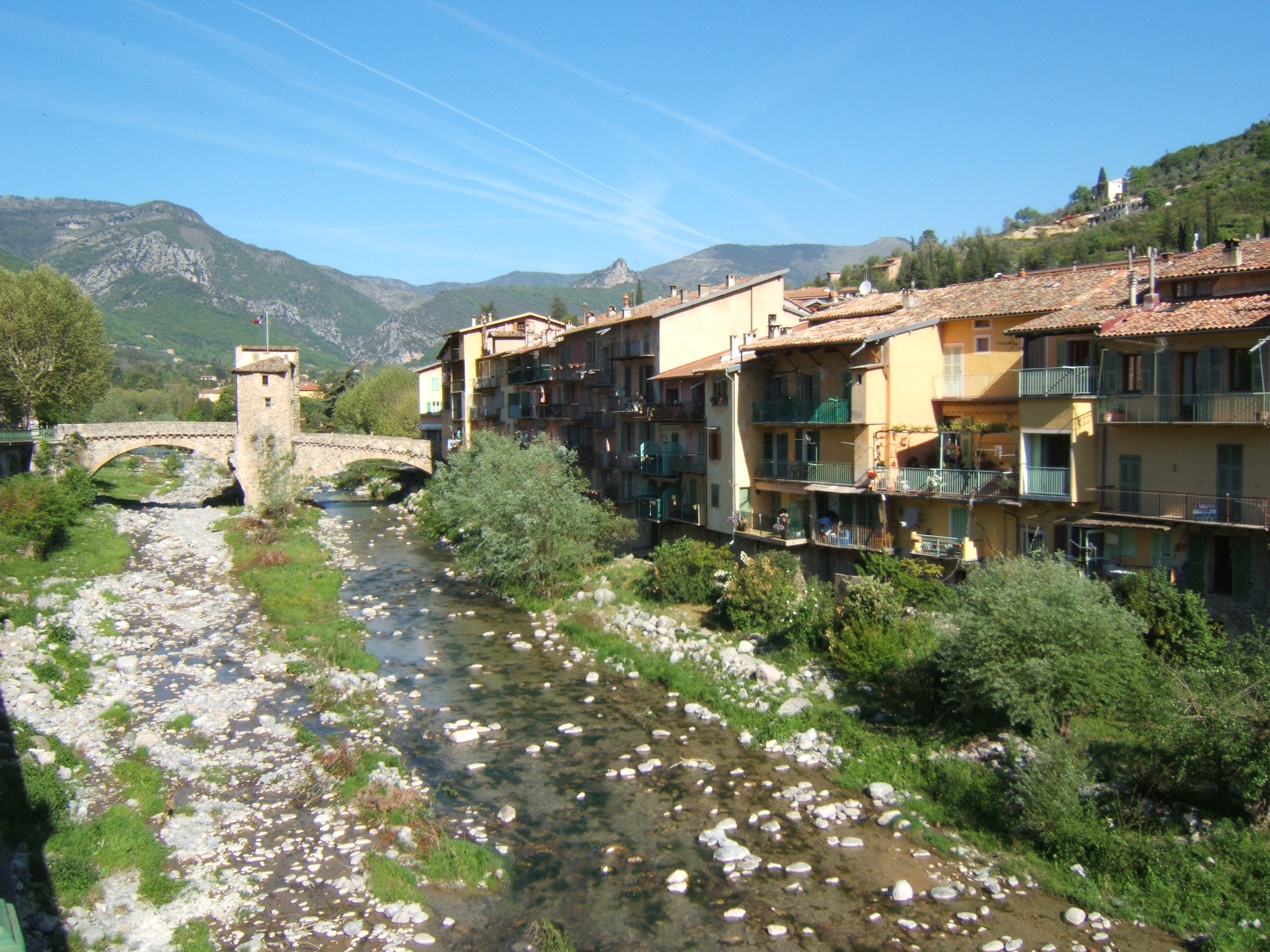
Bévéra source is in the Maritime Alps, near Moulinet in the French Alpes-Maritimes department. It flows generally southeast, through Sospel, crosses the Italian border (province of Imperia) and discharges into the river Roya, near Ventimiglia. Its length within France is 26.1 kilometres (16.2 mi).[2] The Basséra is one of its tributaries.
Conservation
Most of the Ligurian part of Bevera valley, along with the Italian slopes of Monte Grammondo, belongs to a SIC (Site of Community Importance) called M. Grammondo T. Bevera (code IT 1315717).[3]
References
- Portate (mc) BEVERA a Torri, 1961-1970 data ot Agenzia per la protezione dell'ambiente e per i servizi tecnici, on-line: Archived 2015-07-08 at the Wayback Machine (access: July 7, 2015)
- Sandre. "Fiche cours d'eau - La Bévéra (Y6630500)".
- AA.VV. "SIC IT 1315717 M.Grammondo T.Bevera - Piano di gestione" (PDF) (in Italian). Provincia di Imperia. Retrieved 2018-07-30.
External links
 Media related to Bevera at Wikimedia Commons
Authority control | |
|---|---|
| General |
|
| National libraries | |
| Other |
|
This Alpes-Maritimes geographical article is a stub. You can help Wikipedia by expanding it. |
На других языках
[de] Bévéra
Die Bévéra (italienisch: Bevera, okzitanisch und ligurisch: Beura) ist ein rund 43 Kilometer langer Nebenfluss der Roya, der im französischen Département Alpes-Maritimes in der Region Provence-Alpes-Côte d’Azur und in der italienischen Provinz Imperia in der Region Ligurien verläuft und ein Gebiet von rund 130 Quadratkilometern entwässert.- [en] Bévéra
[it] Bevera (affluente del Roia)
Il Bevera (Bévéra in francese, Bevera in ligure) è un torrente delle Alpi Marittime.[ru] Бевера
Бевера (фр. Bévéra, окс. Beura, итал. Bevera) — река во Франции и Италии, правый приток реки Руайа. Протекает по территории французского департамента Приморские Альпы и итальянской провинции Империя. Длина реки — 38 км, площадь бассейна 81,5 км², средний расход в г. Соспель — 1,03 м³/с.Другой контент может иметь иную лицензию. Перед использованием материалов сайта WikiSort.org внимательно изучите правила лицензирования конкретных элементов наполнения сайта.
WikiSort.org - проект по пересортировке и дополнению контента Википедии