geo.wikisort.org - River
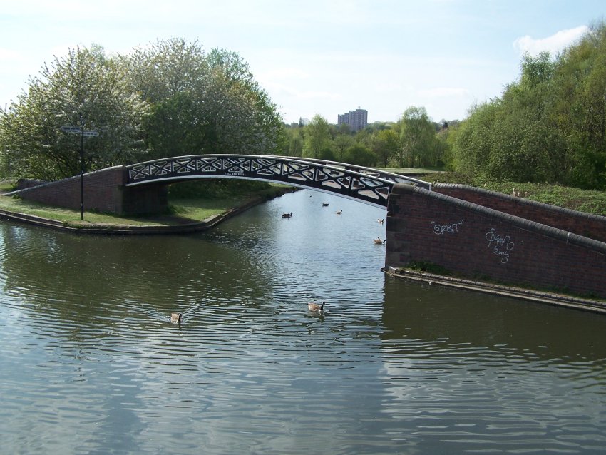
The present day Bumble Hole Branch Canal and Boshboil Branch surround Bumble Hole, a water-filled clay pit, in Bumble Hole and Warren's Hall Nature Reserve, Rowley Regis, West Midlands, England. They formed a looped part of the original Dudley No. 2 Canal until the opening of the Netherton Tunnel in 1858 when the loop was bypassed by a new cut, in line with the new tunnel. Part of the bypassed canal loop, which surrounds Bumble Hole, is now in-filled giving access to the pool of Bumble Hole. An area next to the Bumble Hole and Dudley canals is the Bumble Hole Local Nature Reserve.[1][2]


Cobb's Engine House
Between Windmill End Junction and the tunnel portal stands Cobb's Engine House, built in 1831 to pump water from coal mines into the canal.
Bumble Hole railway
The Bumble Hole railway was used to cross the canal near Windmill End Junction, but was dismantled in 1969.
Canal map
| Bumble Hole Branch Canal | ||||||||||||||||||||||||||||||||||||||||||||||||||||||||||||||||||||||||||||||||||||||||||||||
|---|---|---|---|---|---|---|---|---|---|---|---|---|---|---|---|---|---|---|---|---|---|---|---|---|---|---|---|---|---|---|---|---|---|---|---|---|---|---|---|---|---|---|---|---|---|---|---|---|---|---|---|---|---|---|---|---|---|---|---|---|---|---|---|---|---|---|---|---|---|---|---|---|---|---|---|---|---|---|---|---|---|---|---|---|---|---|---|---|---|---|---|---|---|---|
| ||||||||||||||||||||||||||||||||||||||||||||||||||||||||||||||||||||||||||||||||||||||||||||||
Features
| Point | Coordinates (Links to map resources) |
OS Grid Ref | Notes |
|---|---|---|---|
| Netherton Tunnel south portal | 52.4933°N 2.0692°W | SO953884 | |
| Cobb's Engine House | 52.4929°N 2.0690°W | SO953883 | |
| Windmill End Junction | 52.4916°N 2.0702°W | SO952882 | |
| Bumble Hole pool | 52.4912°N 2.0732°W | SO950881 | |
| Bumble Hole Branch (junction) | 52.4900°N 2.0725°W | SO950880 |
See also
References
- "Bumble Hole". Local Nature Reserves. Natural England. Archived from the original on 3 March 2016. Retrieved 3 August 2013.
- "Map of Bumble Hole". Local Nature Reserves. Natural England. Retrieved 3 August 2013.
Further reading
- Pearson, Michael (1989). Canal Companion - Birmingham Canal Navigations. J. M. Pearson & Associates. ISBN 0-907864-49-X.
- Perrott, David; Mosse, Jonathan (2006). Nicholson Waterways Guide 2 - Severn, Avon & Birmingham. Collins. ISBN 978-0-00-721110-4.
- Palmer, Marilyn; Neaverson, Peter (1994). Industry in the Landscape, 1700-1900. Routledge. ISBN 0-415-11206-0.
External links
Другой контент может иметь иную лицензию. Перед использованием материалов сайта WikiSort.org внимательно изучите правила лицензирования конкретных элементов наполнения сайта.
WikiSort.org - проект по пересортировке и дополнению контента Википедии