geo.wikisort.org - River
The Bemarivo river in Sofia Region (/be.mari.v/), is located in northern Madagascar. It drains to the northern coast, into the Anjobony[1] shortly before the Sofia River, near Boriziny (Port Bergé).[2]
| Bemarivo river (Sofia) | |
|---|---|
 Bemarivo river | |
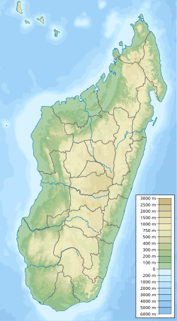
 Map of Malagasy rivers (Bemarivo flows from the central-northern part to the eastern coast). | |
| Location | |
| Country | Madagascar |
| Region | Sofia |
| Physical characteristics | |
| Source | |
| • location | Antolana |
| • elevation | 1199 |
| Mouth | |
• location | Anjobony |
• coordinates | 15°30′00″S 47°40′08″E |
| Length | 265 km (165 mi) |
| Basin size | 15270 km2 |
| Basin features | |
| Progression | Ambinanyndrano, Antanetilava, Mahatsinjo Ambatohararana, Mampikony, Boriziny |
It is flows along the RN 6 and RN 4.
References
На других языках
[de] Bemarivo (Anjobony)
Der Bemarivo ist ein Fluss im Flusssystem des Sofia in Madagaskar, der mit einem Einzugsgebiet von 15.270 km² mehr als die Hälfte von dem des Sofia ausmacht.- [en] Bemarivo (Sofia)
Текст в блоке "Читать" взят с сайта "Википедия" и доступен по лицензии Creative Commons Attribution-ShareAlike; в отдельных случаях могут действовать дополнительные условия.
Другой контент может иметь иную лицензию. Перед использованием материалов сайта WikiSort.org внимательно изучите правила лицензирования конкретных элементов наполнения сайта.
Другой контент может иметь иную лицензию. Перед использованием материалов сайта WikiSort.org внимательно изучите правила лицензирования конкретных элементов наполнения сайта.
2019-2026
WikiSort.org - проект по пересортировке и дополнению контента Википедии
WikiSort.org - проект по пересортировке и дополнению контента Википедии