geo.wikisort.org - Reservoir
Jindabyne Dam is a major ungated rockfill embankment dam across the Snowy River in the Snowy Mountains of New South Wales, Australia. The dam's main purpose is for the generation of hydro-power and is one of the sixteen major dams that comprise the Snowy Mountains Scheme, a vast hydroelectricity and irrigation complex constructed in south-east Australia between 1949 and 1974 and now run by Snowy Hydro.
| Jindabyne Dam | |
|---|---|
 An aerial view of Lake Jindabyne, with the dam wall pictured bottom left, 2009. | |
 Location of Jindabyne Dam in New South Wales | |
| Country | Australia |
| Location | Snowy Mountains, New South Wales |
| Coordinates | 36°26′S 148°38′E |
| Status | Operational |
| Opening date | 1967 |
| Owner(s) | Snowy Hydro |
| Dam and spillways | |
| Type of dam | Embankment dam |
| Impounds | Snowy River |
| Height | 72 metres (236 ft) |
| Length | 335 metres (1,099 ft) |
| Dam volume | 894,000 cubic metres (31,600,000 cu ft) |
| Spillways | 1 |
| Spillway capacity | 3,002 cubic metres per second (106,000 cu ft/s) |
| Reservoir | |
| Creates | Lake Jindabyne |
| Total capacity | 688,287 megalitres (24,306.6×106 cu ft) |
| Catchment area | 1,880 square kilometres (730 sq mi) |
| Surface area | 3,033.5 hectares (7,496 acres) |
| Maximum water depth | 40 metres (130 ft) |
The impounded reservoir is called Lake Jindabyne.
Location and features
Completed in 1967, Jindabyne Dam is a major dam, located approximately 2 kilometres (1.2 mi) south south-east of the relocated town of Jindabyne. The dam was constructed by a consortium of Utah-Brown and Sudamericana based on engineering plans developed under contract by the Snowy Mountains Hydroelectric Authority.[1] Construction of the dam flooded the settlement of Old Jindabyne that accommodated approximately 300 people.[1] Parts of Old Jindabyne can be seen when the levels of Lake Jindabyne are low. The settlement of East Jindabyne is located above what was Old Jindabyne.[2]
The dam wall comprising 894,000 cubic metres (31,600,000 cu ft) of rockfill is 72 metres (236 ft) high and 335 metres (1,099 ft) long. At 100% capacity the dam wall holds back 688,227 megalitres (24,304.5×106 cu ft) of water. The surface area of Lake Jindabyne is 3,033.5 hectares (7,496 acres) and the catchment area is 1,880 square kilometres (730 sq mi). The spillway is capable of discharging 3,002 cubic metres per second (106,000 cu ft/s).[1][3]
Work to modify the dam spillway commenced in 1994 and was ongoing as at July 2009.
Lake Jindabyne
This section contains information of unclear or questionable importance or relevance to the article's subject matter. (May 2013) |
Lake Jindabyne receives the flow from the Snowy River as well as its tributaries, the Thredbo River and Eucumbene River.
The Jindabyne pumping station pumps the water from the rivers into the Snowy-Murray tunnel where it flows west through Murray 1 and Murray 2 Power Stations before entering the Swampy Plains River and then the Murray River. The flow of water into Lake Jindabyne is particularly strong during the spring months of October and November.
The idea of the Snowy Mountains Scheme was developed in the 1940s as a way of increasing the flow of inland rivers in order to encourage the development of primary industries based on irrigation. After the Lake was built, the flow of water into the Snowy River was only 1% of the amount that flowed before the river was dammed. This caused concerns about the state of the lower reaches of the Snowy River in Victoria and NSW.[4]
A Victorian parliamentary committee recommended in October 1998 that the flow into the Snowy River be increased to 15%. Craig Ingram was elected to the Victorian Parliament as the independent member of East Gippsland with a promise to increase the flow into the Snowy River. After the 1999 election, Ingram was one of a handful of independents who reached an agreement with Steve Bracks, the leader of the Victorian ALP. In 2000, the NSW and Victorian Governments reached a long-term agreement to increase the flow of water into the Snowy to 28%.
Recreational uses
Lake Jindabyne is a popular sailing and fishing destination. The body of water is one of the largest fresh water reservoirs in New South Wales, and has a resident population of Atlantic Salmon, Brook Trout and Rainbow Trout. Lake Jindabyne also has a reputation as one of the best places to catch trout in Australia.[5]
In 1969 the Eucumbene Sailing Club moved to Lake Jindabyne and formed the Lake Jindabyne Yacht Club as conditions were not as rough as Lake Eucumbene. The club operates from November until April every year with racing in nineteen different classes of boat.
It is also a popular venue for waterskiing and sailing during spring, summer and autumn.

Gallery
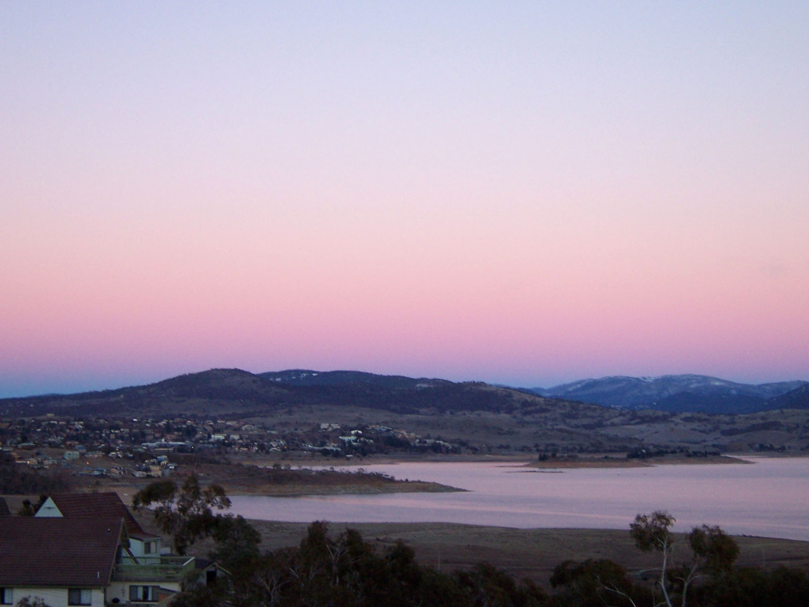
 Jindabyne, as viewed from across Lake Jindabyne.
 Lake Jindabyne 2004
See also
- Kosciuszko National Park
- List of dams and reservoirs in New South Wales
- Snowy Scheme Museum
References
- "Register of Large Dams in Australia" (Excel (requires download)). Dams information. The Australian National Committee on Large Dams Incorporated. 2010. Retrieved 10 May 2013.
- "Towns: Jindabyne". Snowy Mountains. Tourism Snowy Mountains. 2012. Retrieved 10 May 2013.
- "Dams". Snowy Mountains Scheme. Snowy Hydro. Archived from the original on 3 May 2013. Retrieved 10 May 2013.
- "Snowy catchment". Office of Water. Department of Primary Industries. 14 February 2012. Retrieved 10 May 2013.
- "Lake Jindabyne. Snowy Mountains. NSW". Sweetwater Fishing Australia. Garry Fitzgerald. 2004. Retrieved 10 May 2013.
External links
- Bevitt, R.; Erskine, W.; Gillespie, G.; Harriss, J.; Lake, P.; Miners, B.; Varley, I. (May 2009). "Expert panel environmental flow assessment of various rivers affected by the Snowy Mountains Scheme". NSW Department of Water and Energy. ISBN 978-0-7347-5656-5.
| Townships and Villages | |
|---|---|
| Localities and rural places |
|
| National parks and other natural features | |
| Rivers and other watercourses | |
| Dams and/or associated reservoirs |
|
| Mountain ranges | |
| Attractions |
|
Main Article: Local government areas of New South Wales | |
Другой контент может иметь иную лицензию. Перед использованием материалов сайта WikiSort.org внимательно изучите правила лицензирования конкретных элементов наполнения сайта.
WikiSort.org - проект по пересортировке и дополнению контента Википедии