geo.wikisort.org - Mountains
Sgùrr a' Mhadaidh (Scottish Gaelic for 'peak of the dog / fox')[2] is a mountain peak in the Black Cuillin range on the Isle of Skye, Scotland. It is a Munro with a height of 918 metres (3,012 ft). Like the rest of the range it is composed of gabbro, a rock with excellent grip for mountaineering.
| Sgùrr a' Mhadaidh | |
|---|---|
 Sgùrr a' Mhadaidh overlooking Coir' a' Mhadaidh | |
| Highest point | |
| Elevation | 918 m (3,012 ft)[1] |
| Prominence | 71 m (233 ft) |
| Listing | Munro |
| Coordinates | 57°13′51″N 6°14′01″W |
| Naming | |
| English translation | peak of the dog / fox |
| Language of name | Gaelic |
| Pronunciation | Scottish Gaelic: [ˈs̪kuːrˠ ə ˈvat̪ɪ] |
| Geography | |
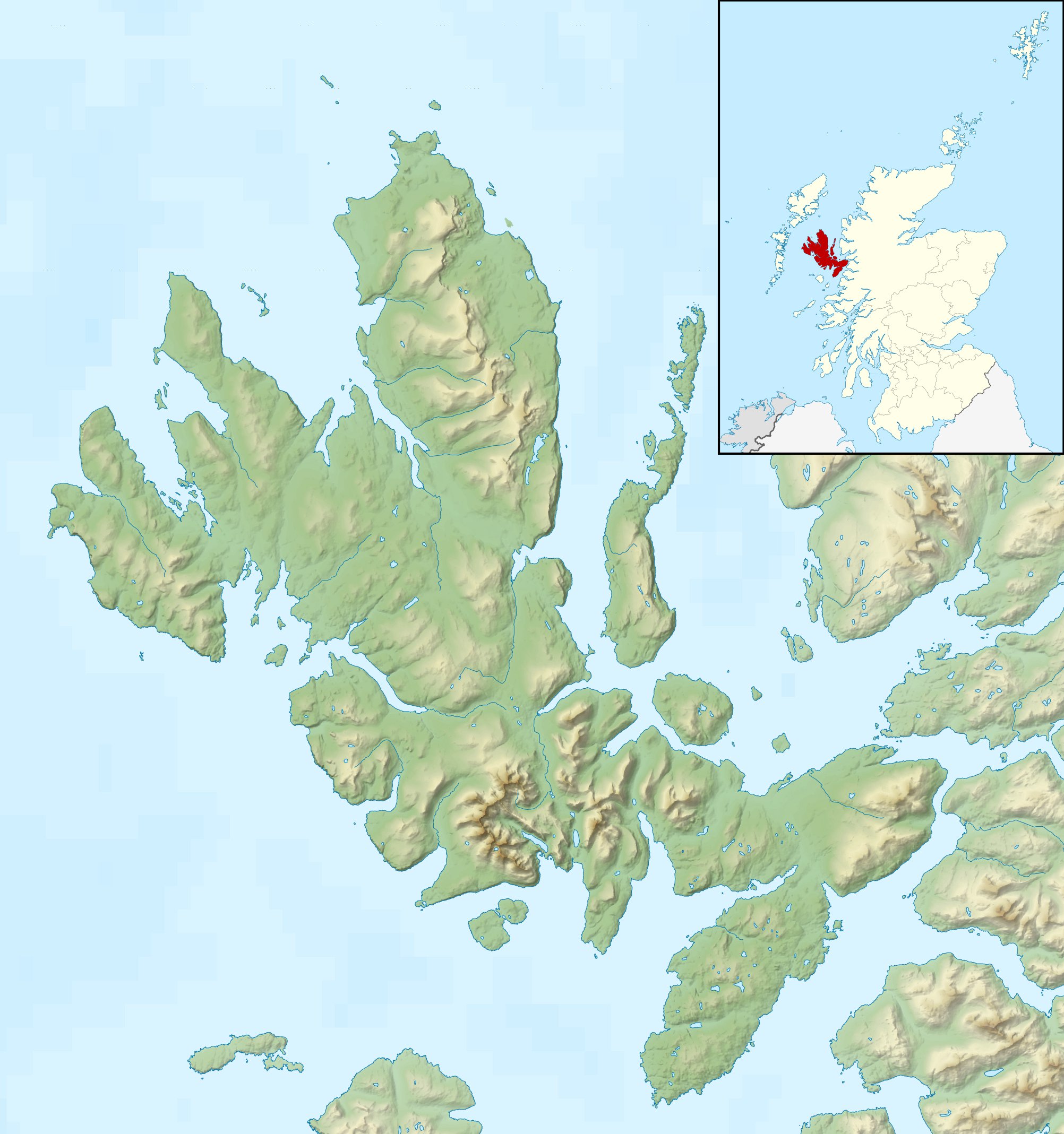 Sgùrr a' Mhadaidh Location in Skye | |
| Location | Skye, Scotland |
| Parent range | Cuillin |
| OS grid | NG446235 |
| Topo map | OS Landranger 32 |
| Climbing | |
| First ascent | Possibly 1887, John MacKenzie and H.C. Hart |
| Easiest route | Scramble |
The simplest route ascends via the col of An Dorus (the Door), most easily reached from Glen Brittle. The mountain has four summits; only the highest can be reached by scramblers. The three lower summits require rock-climbing skills and equipment.
References
- "walkhighlands x". walkhighlands.co.uk. walkhighlands.co.uk. 2013. Retrieved 14 October 2013.
- "Sgurr a' Mhadaidh". Ainmean-Àite na h-Alba: Gaelic Place-Names of Scotland.


На других языках
[de] Sgùrr a’ Mhadaidh
Der Sgùrr a’ Mhadaidh ist ein als Munro eingestufter, 918 m (3.012 ft) hoher Berg in Schottland. Sein gälischer Name kann in etwa mit Spitze des Fuchses übersetzt werden.[1] Er liegt in der Council Area Highland in den Cuillin Hills auf der Isle of Skye.- [en] Sgùrr a' Mhadaidh
Текст в блоке "Читать" взят с сайта "Википедия" и доступен по лицензии Creative Commons Attribution-ShareAlike; в отдельных случаях могут действовать дополнительные условия.
Другой контент может иметь иную лицензию. Перед использованием материалов сайта WikiSort.org внимательно изучите правила лицензирования конкретных элементов наполнения сайта.
Другой контент может иметь иную лицензию. Перед использованием материалов сайта WikiSort.org внимательно изучите правила лицензирования конкретных элементов наполнения сайта.
2019-2026
WikiSort.org - проект по пересортировке и дополнению контента Википедии
WikiSort.org - проект по пересортировке и дополнению контента Википедии