geo.wikisort.org - Mountains
Saint Regis Mountain is a 2,838-foot-tall (865 m) mountain in the town of Santa Clara, New York, in Franklin County at the center of the Saint Regis Canoe Area in the Adirondack Park.
| Saint Regis Mountain | |
|---|---|
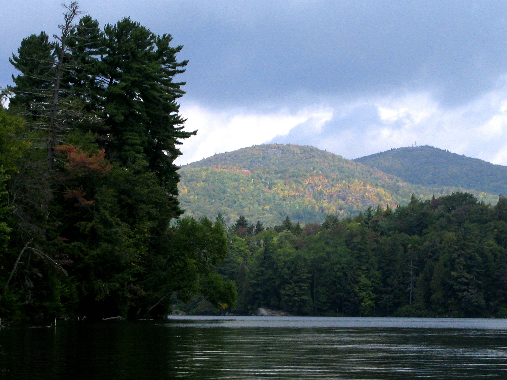 Saint Regis Mountain (right) from Saint Regis Pond | |
| Highest point | |
| Elevation | 2,838 ft (865 m)[1] |
| Coordinates | 44°24′30″N 74°19′47″W[1] |
| Geography | |
 Saint Regis Mountain Location of Saint Regis Mountain within New York  Saint Regis Mountain Saint Regis Mountain (the United States) | |
| Location | Franklin County, New York |
| Topo map | USGS Saint Regis Mountain |
It can be climbed from a trailhead on Keese Mills Road in Keese Mill, west of Paul Smiths. The trail is a gradual 3.3 mile ascent with a gain of 1168 feet.[2]
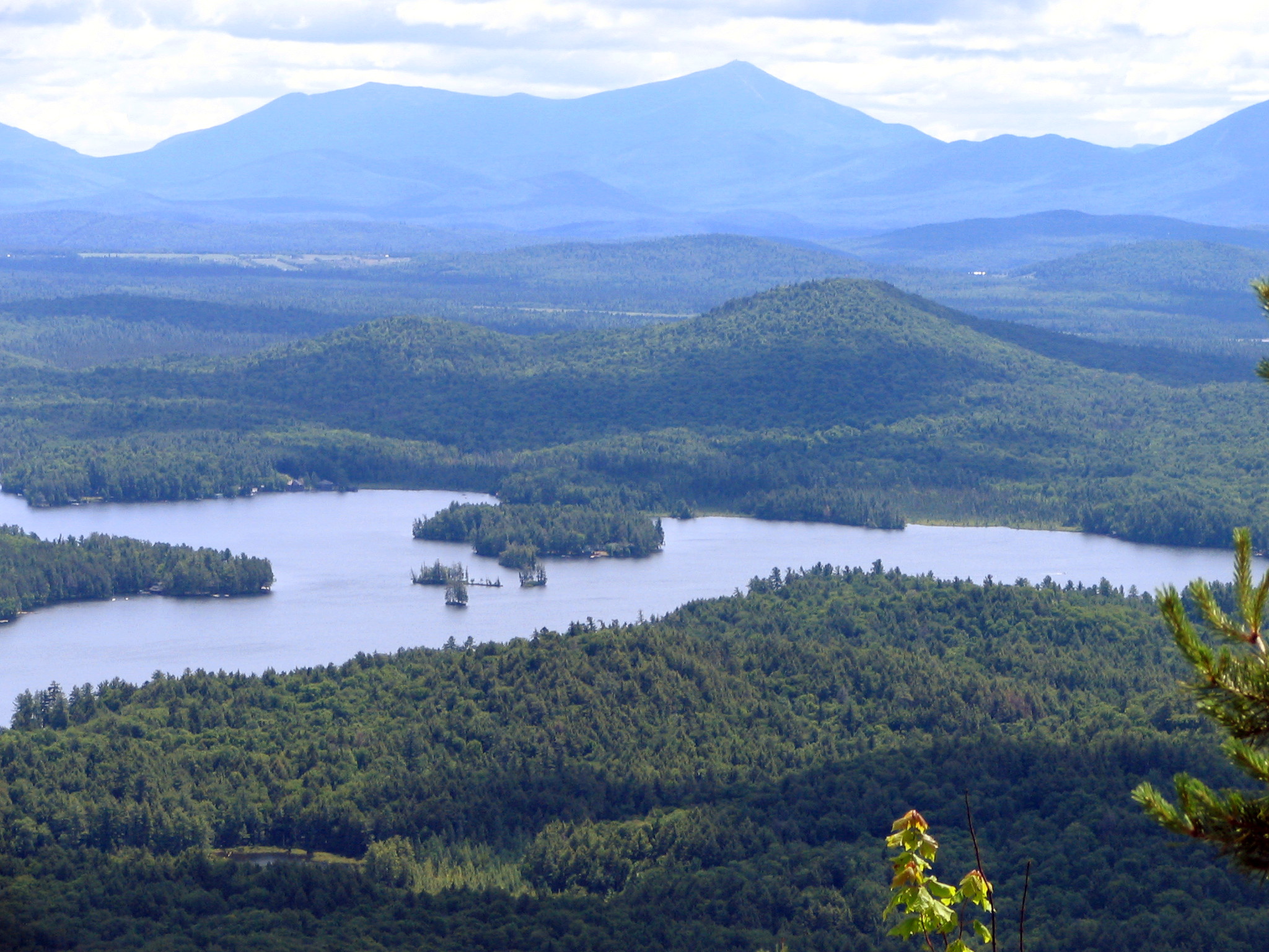
The view from the summit includes thirty lakes, including the Upper and Lower Saranac Lake, and Upper and Lower Saint Regis Lake.[3] The Adirondack High Peaks can also be seen.
The summit is bare rock, having been cleared by a fire started accidentally by a surveying party led by Verplanck Colvin in 1876. The St. Regis Mountain Fire Observation Station is at the summit was restored in 2016 and is now open to the public.
Gallery
 The Adirondack High Peaks from St. Regis Mountain. Mount Marcy is just left of center, Algonquin Peak is to the right
 View from St. Regis Mountain

References
- "Saint Regis Mountain". Geographic Names Information System. United States Geological Survey. Retrieved November 25, 2021.
- "St. Regis Mountain". Retrieved 9 September 2014.
- Summit Post - Saint Regis Mountain
This article about a location in Franklin County, New York is a stub. You can help Wikipedia by expanding it. |
Другой контент может иметь иную лицензию. Перед использованием материалов сайта WikiSort.org внимательно изучите правила лицензирования конкретных элементов наполнения сайта.
WikiSort.org - проект по пересортировке и дополнению контента Википедии