geo.wikisort.org - Mountains
Havre Seamount is an active volcanic seamount lying within the Kermadec Islands group of New Zealand, in the south-west Pacific Ocean, on the Tonga-Kermadec Ridge. Its most recent eruption took place in July 2012.[1]
| Havre Seamount | |
|---|---|
 Satellite image of 2012 eruption | |
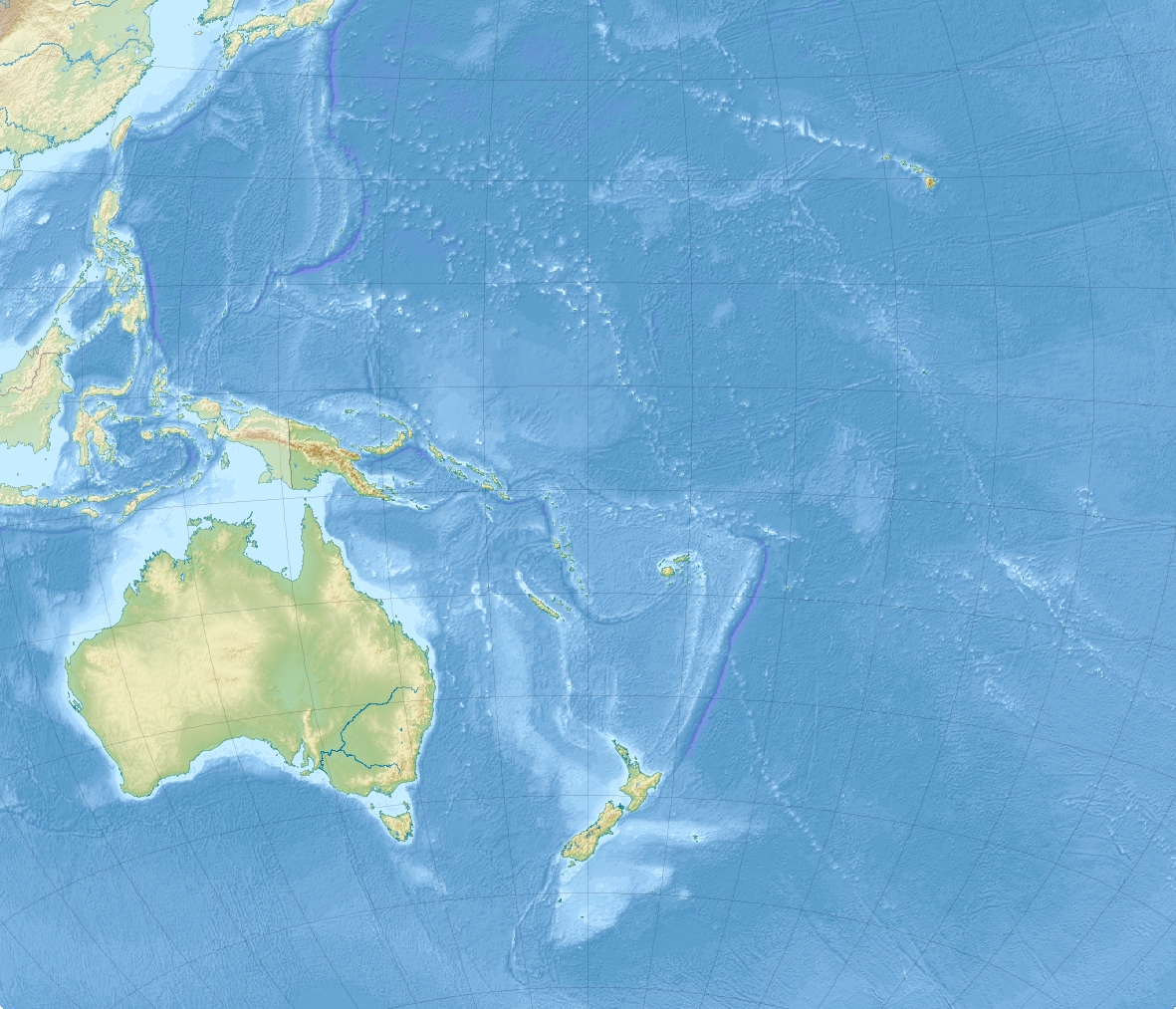 Location of Havre Seamount in Oceania | |
| Summit depth | 720 m (2,400 ft) |
| Height | 1,030 m (3,400 ft) |
| Location | |
| Location | South Pacific Ocean |
| Group | Kermadec Islands |
| Coordinates | 31.11°S 179.00°W |
| Country | New Zealand |
| Geology | |
| Type | Seamount |
| Last eruption | July 2012 |
See also
References
- "Havre Seamount". Global Volcanism Program. Smithsonian Institution. Retrieved 28 June 2021.
This article about a specific oceanic location or ocean current is a stub. You can help Wikipedia by expanding it. |
This article about the geography of New Zealand's outlying islands is a stub. You can help Wikipedia by expanding it. |
Текст в блоке "Читать" взят с сайта "Википедия" и доступен по лицензии Creative Commons Attribution-ShareAlike; в отдельных случаях могут действовать дополнительные условия.
Другой контент может иметь иную лицензию. Перед использованием материалов сайта WikiSort.org внимательно изучите правила лицензирования конкретных элементов наполнения сайта.
Другой контент может иметь иную лицензию. Перед использованием материалов сайта WikiSort.org внимательно изучите правила лицензирования конкретных элементов наполнения сайта.
2019-2026
WikiSort.org - проект по пересортировке и дополнению контента Википедии
WikiSort.org - проект по пересортировке и дополнению контента Википедии