geo.wikisort.org - Mountains
The Lord Howe Seamount Chain formed during the Miocene. It features many coral-capped guyots and is one of the two parallel seamount chains alongside the east coast of Australia; the Lord Howe and Tasmantid seamount chains both run north-south through parts of the Coral Sea and Tasman Sea.[1][2] These chains have longitudes of approximately 159°E and 156°E respectively.[1]
| Lord Howe Seamount Chain | |
|---|---|
 Lord Howe Seamount Chain (Click on volcano for name, red are seamounts, red outline islands) | |
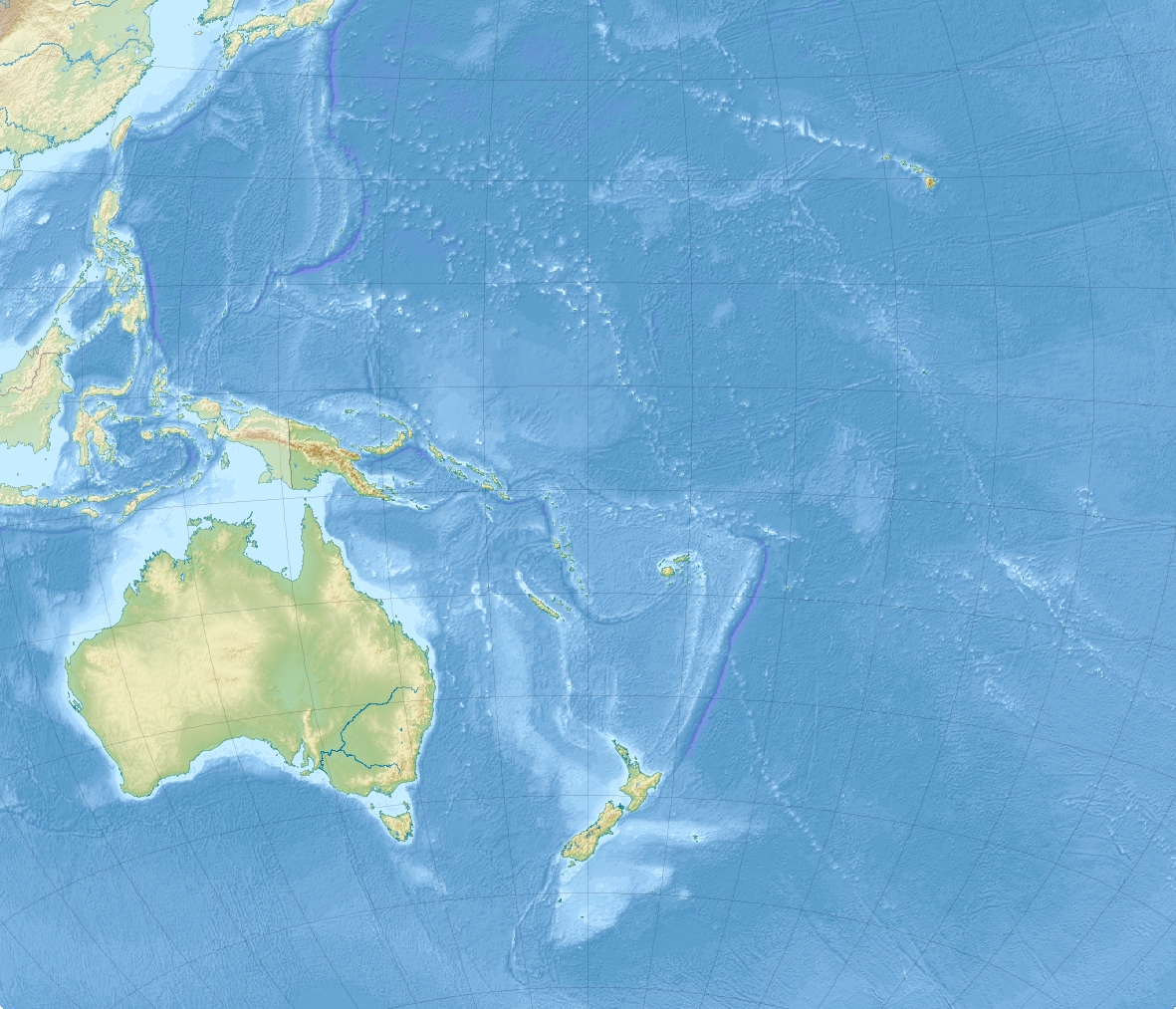 Location of the Lord Howe Seamount Chain | |
| Location | |
| Location | Coral and Tasman seas |
| Coordinates | 26°22′36.7″S 159°15′37.9″E |
| Geology | |
| Type | Seamount chain |
Geography
The Lord Howe Seamount Chain has been known under a variety of different gazetted names, including the Lord Howe Seamounts, Lord Howe Guyots, Lord Howe Rise Guyots and the Middleton Chain.[3]

The Lord Howe Seamount Chain is on the western slope of Lord Howe Rise, a deep-sea elevated plateau which is a submerged part of Zealandia.[1] The Tasmantid and Lord Howe seamount chains are both broadly within the Tasman basin (the abyssal plain between Lord Howe Rise and the Australian continental shelf), and lie on opposite sides of Dampier Ridge (a submerged continental fragment).[1][4]
The Lord Howe Seamount Chain extends from the Chesterfield group (20°S) to Flinders Seamount (34.7°S).[5] It includes Nova Bank, Argo and Kelso seamounts, Capel and Gifford guyots, Middleton and Elizabeth reefs, Lord Howe Island and Ball's Pyramid.[1]
Geology
The Lord Howe and Tasmantid chains each resulted from the Indo-Australian Plate moving northward over a stationary hotspot; historically the hotspot for the Lord Howe chain was expected to presently be beneath Flinders Seamount.[6] but is now thought likely to be somewhat to the south of this, possibly beyond the Heemskerck and Zeehaen seamounts.[7] Indeed the dating of this chain has only been as far south as Lord Howe Island which erupted 6.5 million years ago. The chain has been characterised back to 28 million years but may be older.[7] On the Australian mainland, a third north-south sequence of extinct volcanoes (which includes the Glass House Mountains) is likely to have the same origin.[6][8]
See also
- Lord Howe Marine Park
- Gifford Marine Park
References
- Willem J. M. van der Linden, Morphology of the Tasman sea floor. New Zealand Journal of Geology and Geophysics. Vol.13 (1970) 282-291.
- Seton, Maria; Williams, Simon; Mortimer, Nick; Meffre, Sebastien; Micklethwaite, Steven; Zahirovic, Sabin (2019-01-22). "Magma production along the Lord Howe Seamount Chain, northern Zealandia". Geological Magazine. 156 (9): 1605–1617. Bibcode:2019GeoM..156.1605S. doi:10.1017/S0016756818000912. ISSN 0016-7568. S2CID 134379148.
- "Marine Gazetteer Placedetails". Retrieved 2017-02-20.
- McDougall et al, Dampier Ridge, Tasman Sea, as a stranded continental fragment. Australian Journal of Earth Sciences 41 (1994). 395-406.
- Przeslawski et al. Biogeography of the Lord Howe Rise region, Tasman Sea. Deep-Sea Research Part II 58 (2011) 959–969.
- W. J. Morgan and J. P. Morgan. Plate velocities in hotspot reference frame: electronic supplement
- Hansma, Jeroen; Tohver, Eric (2020). "Southward Drift of Eastern Australian Hotspots in the Paleomagnetic Reference Frame Is Consistent With Global True Polar Wander Estimates". Frontiers in Earth Science. 8: 489. Bibcode:2020FrEaS...8..489H. doi:10.3389/feart.2020.544496.
- Knesel, Kurt M.; Cohen, Benjamin E.; Vasconcelos, Paulo M.; Thiede, David S. (August 2008). "Rapid change in drift of the Australian plate records collision with Ontong Java plateau". Nature. 454 (7205): 754–757. Bibcode:2008Natur.454..754K. doi:10.1038/nature07138. ISSN 0028-0836. PMID 18685705. S2CID 4427792.
Другой контент может иметь иную лицензию. Перед использованием материалов сайта WikiSort.org внимательно изучите правила лицензирования конкретных элементов наполнения сайта.
WikiSort.org - проект по пересортировке и дополнению контента Википедии