geo.wikisort.org - Mountains
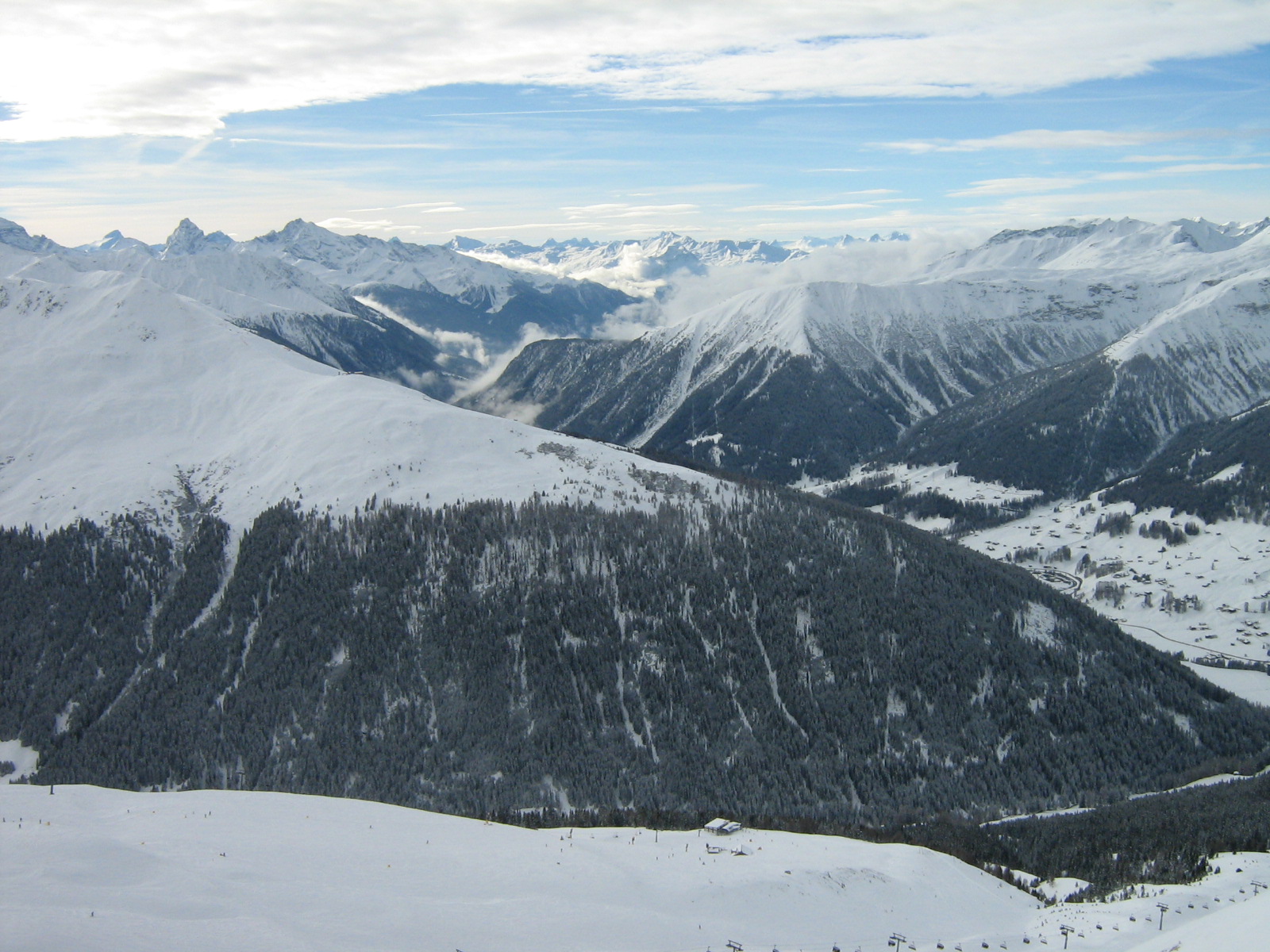
The Grison Alps are the mountains of the Graubünden canton of Switzerland (Grisons being the English name for the Graubünden region). There are many significant peaks in the Grison Alps, including the Tödi (3,614 m) and the highest peak, Piz Bernina (4,049 m). Many of the mountain ranges feature extensive glaciers, such as at the Adula, the Albula, the Silvretta, the Bernnina or the Rätikon range. The Grison Alps include parts of both the Eastern Alps and the Western Alps. The Eastern Alps located in Graubünden are the Rhaetian Alps, which is part to the Central Eastern Alps.
This article needs additional citations for verification. (June 2009) |
The Rhaetian Alps consists of the following mountain ranges: Samnaun Alps, Rätikon, Silvretta, Sesvenna Range, Albula Range, Plessur Range, Oberhalbstein Range, Livigno Range, Bregaglia Range and the Bernina Range. The Western Alps located in Graubünden, include portions of the Lepontine Alps and the Glarus Alps.[1]
References
- Zschokke, Heinrich (2008). The History of Switzerland. BiblioBazaar. ISBN 0-559-31287-3.
This article about a mountain, mountain range, or peak located in Graubünden is a stub. You can help Wikipedia by expanding it. |
На других языках
[de] Bündner Alpen
Die Bündner Alpen sind die Alpen im Kanton Graubünden in der Schweiz, sie nehmen den ganzen Südostteil der Schweizer Alpen ein. Ihr höchster Gipfel und einziger Viertausender ist der Piz Bernina mit 4049 m ü. M.- [en] Grison Alps
[it] Alpi Grigionesi
Le Alpi Grigionesi (in tedesco Bündner Alpen) costituiscono la parte della catena alpina che si trova nel Canton Grigioni (Svizzera).Другой контент может иметь иную лицензию. Перед использованием материалов сайта WikiSort.org внимательно изучите правила лицензирования конкретных элементов наполнения сайта.
WikiSort.org - проект по пересортировке и дополнению контента Википедии