geo.wikisort.org - Island
This is a list of islands of Kiribati. The Republic of Kiribati consists of 32 atolls and one raised coral island. These islands are dispersed throughout the three island groups that form Kiribati:
- the Gilbert,
- Phoenix,
- and Line islands.
All but one island, sparsely populated Canton Island, in the Phoenix group are uninhabited. The remaining Phoenix Islands make up the Phoenix Islands Marine Protected Area, which is the third largest marine protected area in the world.[1]
The table includes area [2] and population[3] data.
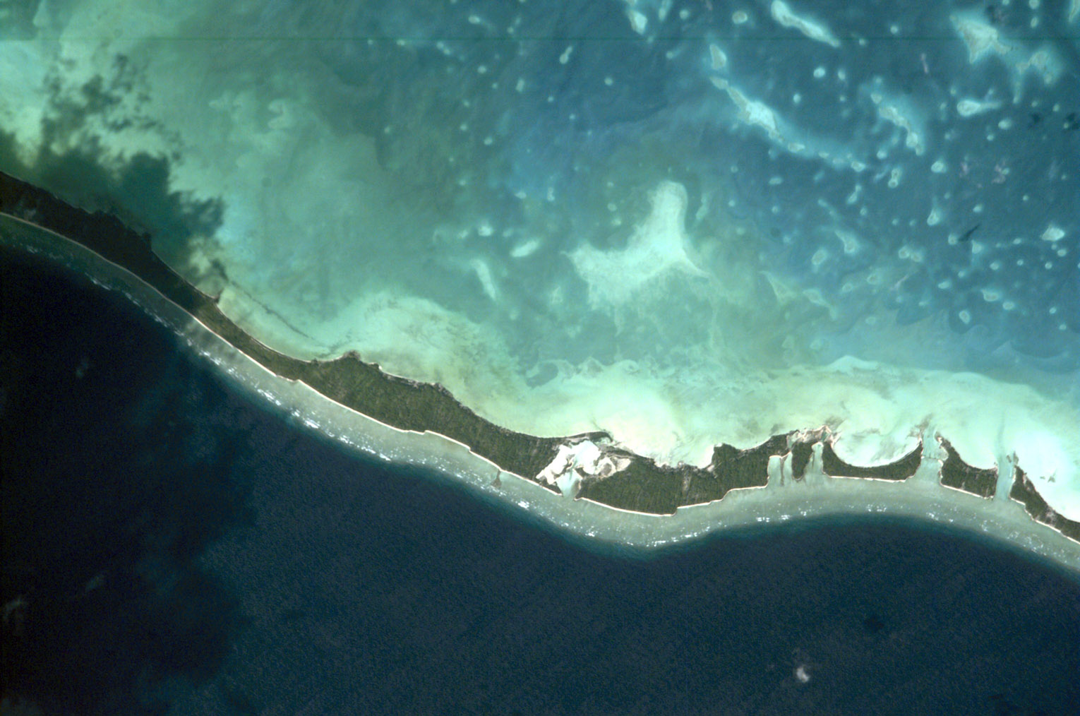
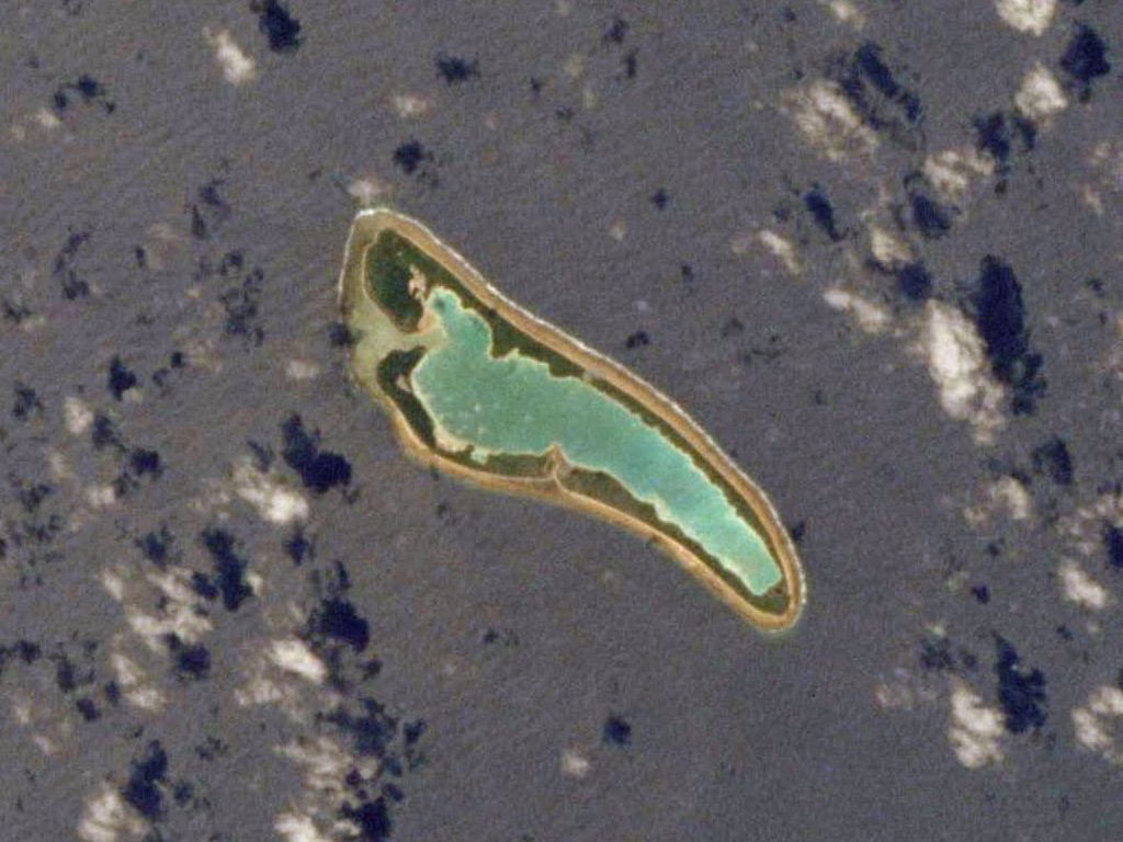
Gilbert Islands
| Image | Island (Previous name)[4] | Land area (km²)[5] |
Lagoon area (km²) |
Coordinates | Type | Population (2020) |
|---|---|---|---|---|---|---|
 |
Abaiang | 16.0 | 232.5 [2] | 01°51′0″N 172°58′0″E | Atoll | 5,815 [3] |
 |
Abemama | 27.8 | 132.4 [2] | 0°24′0″N 173°52′0″E | Atoll | 3,255 [3] |
 |
Aranuka | 15.5 | 19.4 [2] | 0°11′0″N 173°36′0″E | Atoll | 1,221 [3] |
 |
Arorae | 9.5 | 0 | 2°38′0″S 176°49′0″E | Atoll | 994 [3] |
 |
Beru (Island) | 14.7 | 38.9 [2] | 1°20′0″S 176°0′0″E | Atoll | 2,214 [3] |
 |
Butaritari (Makin) | 13.6 | 191.7 [2] | 3°10′04″N 172°49′33″E | Atoll | 3,250 [3] |
 |
Kuria (atoll) | 12.7 | ? | 0°55′0″N 173°0′0″E | Atoll | 1,190 [3] |
 |
Maiana | 15.9 | 98.4 [2] | 1°50′0″N 173°01′0″E | Atoll | 2,345 [3] |
 |
Makin (atoll) | 6.7 | 0.3 | 3°23′00″N 173°00′00″E | Atoll | 1,914 [3] |
 |
Marakei | 13.5 | 19.6 [2] | 02°01′0″N 173°17′0″E | Atoll | 2,738 [3] |
 |
Nikunau | 18.2 | 0 | 01°22′0″S 176°28′0″E | Atoll | 2,055 [3] |
 |
Nonouti | 29.2 | 370.4 [2] | 00°40′0″S 174°21′0″E | Atoll | 2,749 [3] |
 |
Onotoa | 13.5 | 54.4 [2] | 01°52′0″S 175°34′0″E | Atoll | 1,417 [3] |
 |
Tabiteuea | 38.0 | 365.2 [2] | 01°20′0″S 174°50′0″E | Atoll | 5,537 [3] |
| Tamana, Gilbert Islands | 4.8 | 0 | 2°30′0″S 175°59′0″E | Coral island | 1,028 [3] | |
 |
Tarawa | 31.9 | 343.6 [2] | 1°25′0″N 173°02′0″E | Atoll | 70,090 [3] |
| 281.5 | 1866.5 | 107,812 |
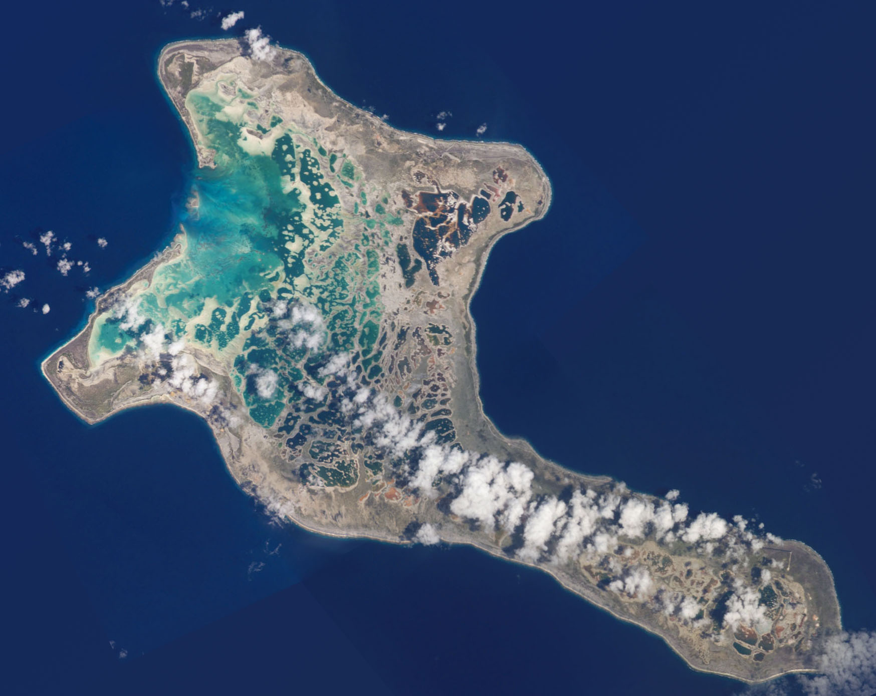
Line Islands
| Image | Island (Previous name)[4] | Land area (km²)[5] |
Lagoon area (km²) |
Coordinates | Type | Population (2020) |
|---|---|---|---|---|---|---|
 |
Millenium Island (Caroline Island) | 3.76 | 2.5 | 9°56′13.13″S 150°12′0″W | Atoll | 0 |
 |
Flint Island | 3.2 | 0 | 11°25′48″S 151°49′0″W | Coral island | 0 |
 |
Kiritimati (Christmas Island) | 384.4 | 324 | 1°53′0″N 157°24′0″W | Atoll | 7,369 [3] |
 |
Malden Island | 39.3 | ? | 4°03′0″S 154°59′0″W | Atoll | 0 |
 |
Starbuck Island | 16.2 | 25 | 5°37′0″S 155°56′0″W | Atoll | 0 |
 |
Tabuaeran (Fanning Island) | 33.7 | 110 | 3°52′0″N 159°22′0″W | Atoll | 1,990 [3] |
 |
Teraina (Washington Island) | 14.2 | 0 (enclosed lake) | 4°43′0″N 160°24′0″W | Atoll | 1,893 [3] |
| Vostok Island | 0.24 | 0 | 10°06′0″S 152°25′0″W | Atoll | 0 | |
| 495 | 461.5 | 11,252 |
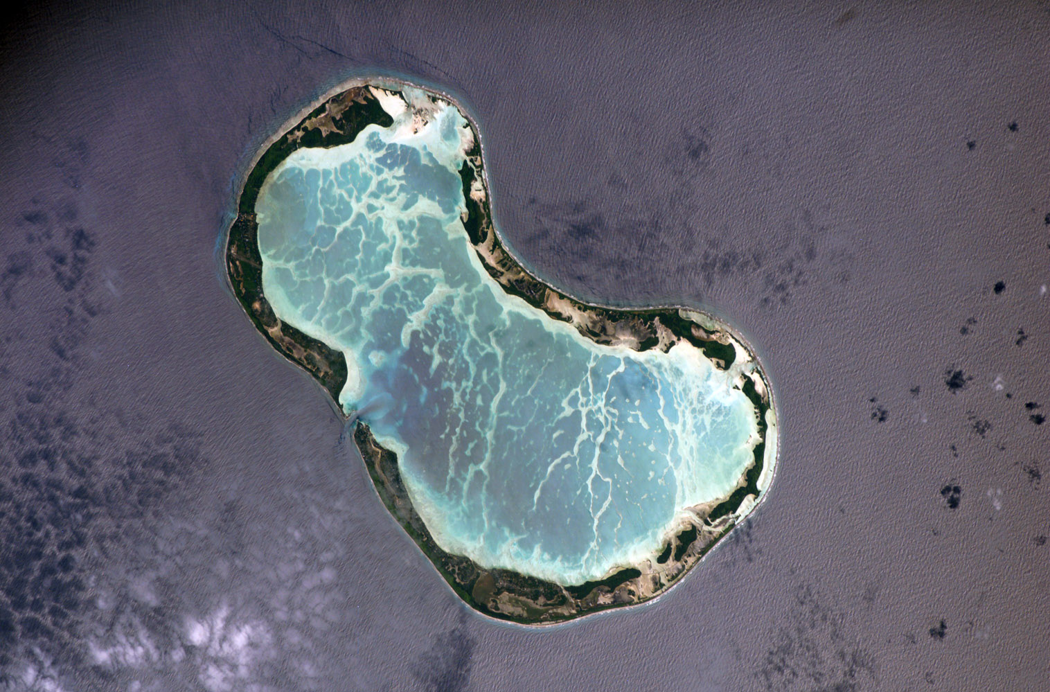
Phoenix Islands
| Image | Island (Previous name)[4] | Land area (km²)[5] |
Lagoon area (km²) |
Coordinates | Type | Population (2020) |
|---|---|---|---|---|---|---|
 |
Canton Island | 9.1 | 50 | 2°50′0″S 171°40′0″W | Atoll | 41 [3] |
| Birnie Island | 0.2 | ? | 03°35′0″S 171°33′0″W | Atoll | 0 | |
 |
Enderbury Island | 5.1 | ? | 3°08′0″S 171°05′0″W | Atoll | 0 |
 |
Manra Island (Sydney Island) | 4.4 | ? | 4°27′0″S 171°16′0″W | Atoll | 0 |
| McKean Island | 0.57 | ? | 03°36′0″S 174°08′0″W | Atoll | 0 | |
 |
Nikumaroro (Gardner Island) | 4.1 | 4 | 04°40′0″S 174°31′0″W | Atoll | 0 |
 |
Orona (Hull Island) | 3.9 | 30 | 04°30′0″S 172°10′0″W | Atoll | 0 |
 |
Rawaki Island (Phoenix Island) | 0.5 | 0.5 | 03°43′0″S 170°43′0″W | Atoll | 0 |
| 27.87 | 84.5 | 41 |
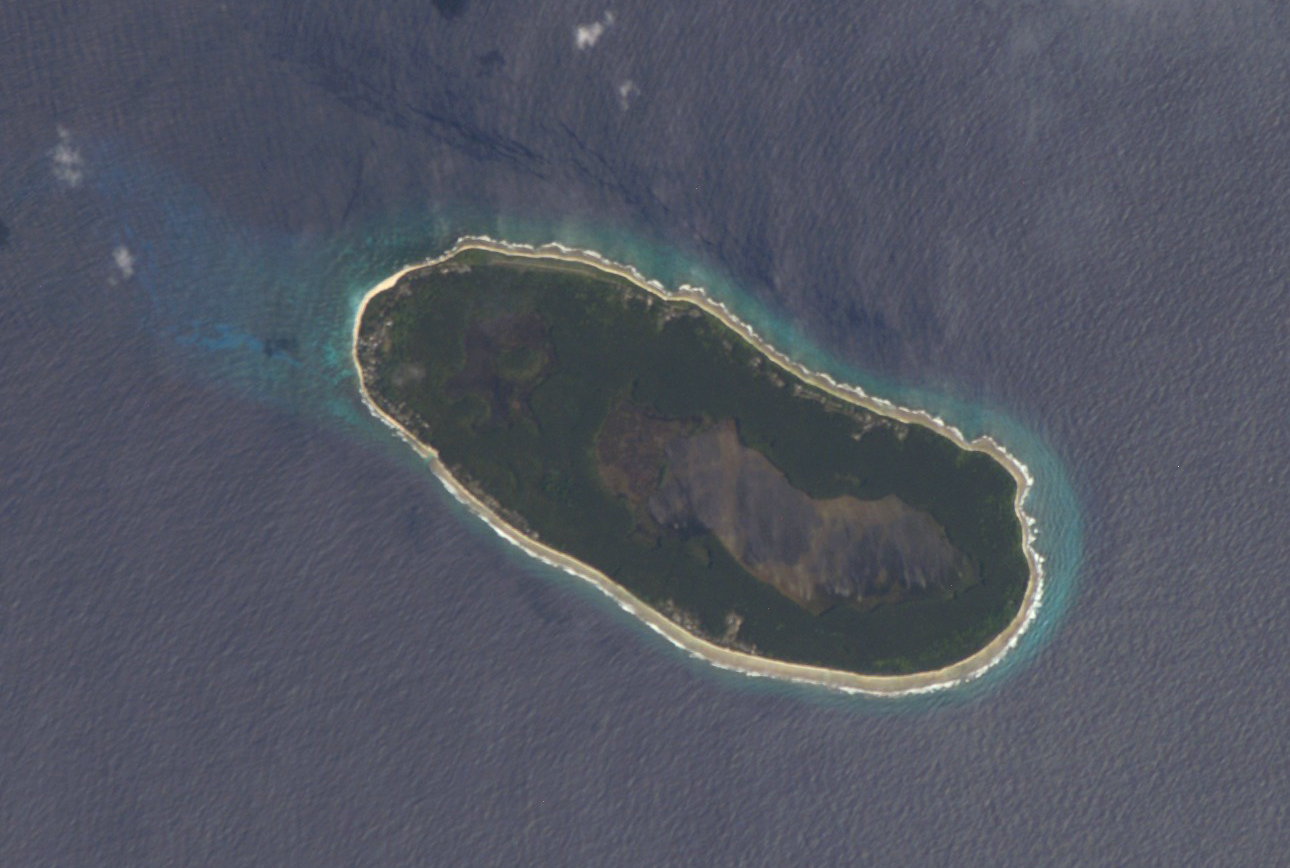
West of the Gilberts
| Image | Island (Previous name)[4] | Land area (km²)[5] |
Lagoon area (km²) |
Coordinates | Type | Population (2020) |
|---|---|---|---|---|---|---|
 |
Banaba (Ocean Island) | 6 | 0 | 0°51′34″S 169°32′13″E | Raised coral | 333 [3] |
| 6 | 0 | 333 |
See also
- ISO 3166-2:KI
- Districts of Kiribati
References
- "Global Island Partnership (GLISPA)" (shtml). Retrieved 2007-11-26.
- "Atoll Research Bulletin #27" (PDF). Archived from the original (pdf) on 2006-09-09. Retrieved 2007-11-26.
- "Kiribati 2020 Population and Housing Census: General Report and Results". Retrieved 2022-02-11.
- The current names are from the Gilbertese language with one exception, Tabuaeran.
- Except for Tarawa and Tabiteuea atolls http://islands.unep.ch/IKQ.htm
| Authority control: National libraries |
|---|
На других языках
- [en] List of islands of Kiribati
[fr] Liste des îles des Kiribati
Les îles des Kiribati se répartissent en 32 atolls groupés en trois archipels qui sont les îles Gilbert, les îles Phœnix et les îles de la Ligne. À ces atolls, il faut rajouter l'île de Banaba qui ne fait partie d'aucun archipel car étant isolée à l'ouest des îles Gilbert, à proximité de Nauru. Elle peut être rattachée aux îles Gilbert.[it] Isole delle Kiribati
Le isole della Repubblica di Kiribati si compongono di 32 atolli corallini e di un'isola alta, Banaba. Queste isole sono disperse su tre gruppi che formano le Kiribati: le isole Gilbert, della Fenice e le Sporadi equatoriali. La maggior parte sono scarsamente popolate se non disabitate. Parte delle isole della Fenice costituiscono la terza più vasta area protetta marina nel mondo [1].[ru] Список островов Кирибати
Республика Кирибати состоит из 32 низменных атоллов и 1 известнякового острова Банаба, или Ошен. Все они расположены в Тихом океане. Общая площадь суши составляет 812,34 км², лагун — 2412,5 км². Расстояние от самого западного до самого восточного острова республики составляет около 4000 км. Численность населения — 103 058 человека[1] (2010, перепись).Текст в блоке "Читать" взят с сайта "Википедия" и доступен по лицензии Creative Commons Attribution-ShareAlike; в отдельных случаях могут действовать дополнительные условия.
Другой контент может иметь иную лицензию. Перед использованием материалов сайта WikiSort.org внимательно изучите правила лицензирования конкретных элементов наполнения сайта.
Другой контент может иметь иную лицензию. Перед использованием материалов сайта WikiSort.org внимательно изучите правила лицензирования конкретных элементов наполнения сайта.
2019-2025
WikiSort.org - проект по пересортировке и дополнению контента Википедии
WikiSort.org - проект по пересортировке и дополнению контента Википедии