geo.wikisort.org - Island
The Hermite Islands (Spanish: Islas Hermite) are the islands Hermite, Herschel, Deceit and Hornos as well as the islets Maxwell, Jerdán, Arrecife, Chanticleer, Hall, Deceit (islet), and Hasse at almost the southernmost end of South America.[1] The smallest and southernmost of the major islands is Hornos Island, the location of Cape Horn. The islands are located south of the Wollaston Islands and separated from them by the Franklin Channel. The islets Terhalten, Sesambre, Evout and Barnevelt are located easterly and are not considered part of the Hermite islands.
Native name: Islas Hermite or L'Hermite Nickname: Samajani (Yahgan Language)[1] | |
|---|---|
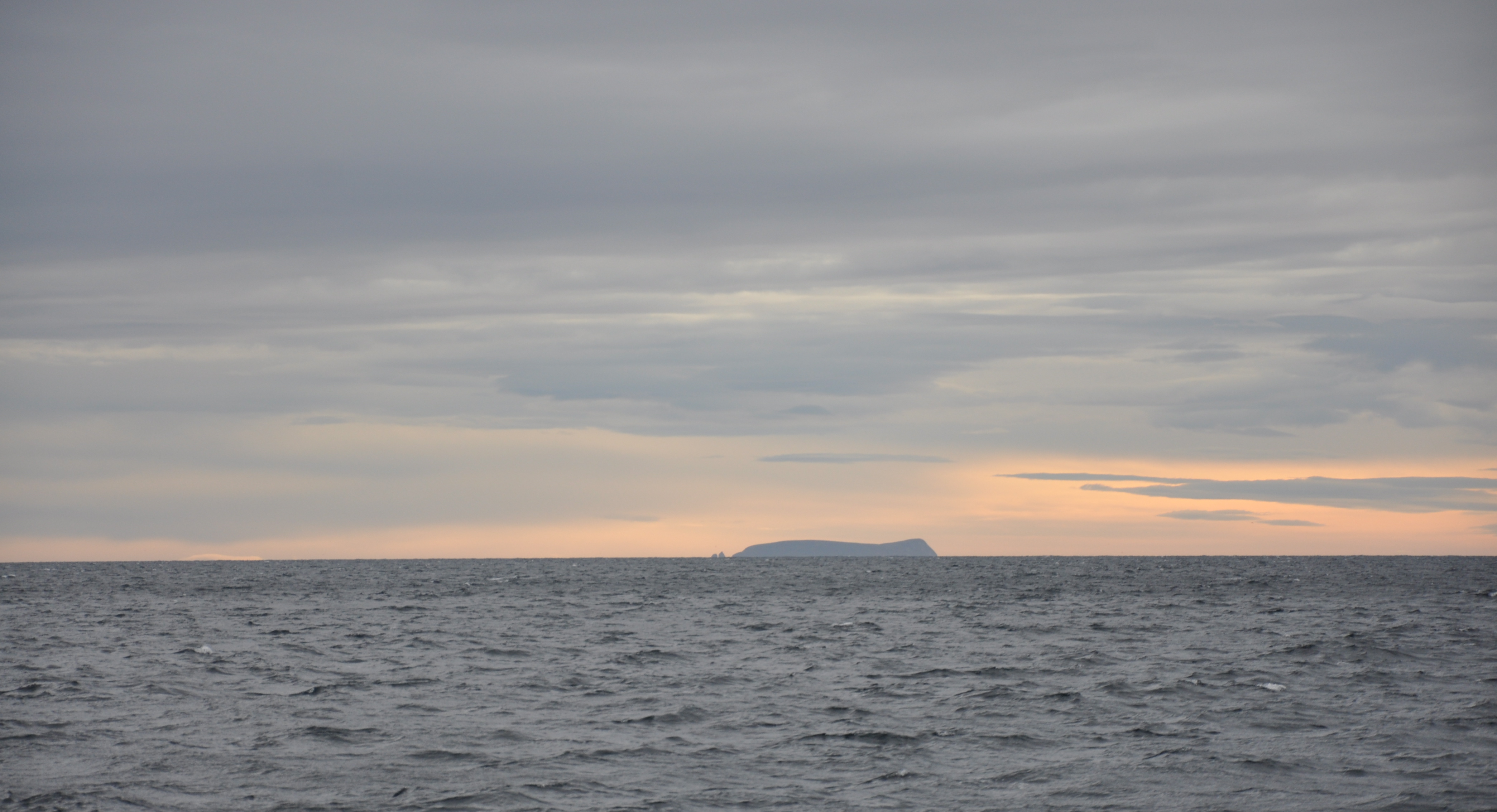
 The best known of the islands, Cape Horn | |
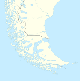 Hermite Islands | |
| Geography | |
| Coordinates | 55.8333°S 67.4167°W |
| Archipelago | Tierra del Fuego |
| Adjacent bodies of water | Pacific ocean |
| Major islands | Hermite, Herschel, Deceit and Hornos |
| Administration | |
Chile | |
| Region | Magallanes |
| Province | Antártica |
| Commune | Cabo de Hornos |
| Additional information | |
| NGA UFI= -884095 | |
The southernmost islands of the American continent are the Diego Ramírez Islands, southwest of Cape Horn. South of all these islands is the Drake Passage.
The southern tip of Deceit island extends southeastwards through a line of sharp-edged rocks known as Los dientes o garras de Deceit (the Teeth or Claws of Deceit) that end in a rough islet, Islote Deceit. The islands form part of the Cabo de Hornos National Park.
History
They are named after the Dutch admiral Jacques l'Hermite (1582-1624). Hermite Islands were visited by Charles Darwin at the turn of 1832/1833. In 1979, the Argentine military junta known as the National Reorganization Process made a strategic feint towards the islands, called Operation Soberania, in an attempt to compel Chile into renegotiating their border with Argentina.

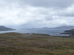 Landscape in the Hermite Islands
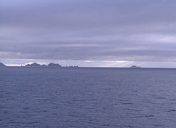 Teeth of Deceit
 Barnevelt Island
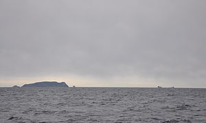 Evout Island


See also
- List of islands of Chile
- Beagle conflict
 Media related to Category:Hermite Islands at Wikimedia Commons
- Media related to Category:Cape Horn at Wikimedia Commons
References
- 7. Cabo de Hornos , retrieved on 14 February 2013
External links
На других языках
[de] Hermite-Inseln
Die Hermite-Inseln (spanisch Islas Hermite) sind eine unbewohnte Inselgruppe im Feuerland-Archipel im äußersten Süden Chiles, rund 80 km südlich von Puerto Williams gelegen. Administrativ gehören die Inseln zur Gemeinde Cabo de Hornos in der Región de Magallanes y de la Antártica Chilena. Bei den Yámana hießen die Inseln Samajani, heute sind sie benannt nach dem niederländischen Admiral Jacques L’Hermite.- [en] Hermite Islands
[fr] Îles L'Hermite
Les îles L'Hermite, (en espagnol : Islas Hermite) aussi appelées îles Hermite, sont un archipel qui fait partie de la Terre de Feu à l'extrémité sud du Chili. Elles se situent à la rencontre des océans Atlantique et Pacifique. Elles sont administrativement rattachées à la commune de Cabo de Hornos, à la province de l'Antarctique chilien (Provincia de la Antártica Chilena) dont la capitale est Puerto Williams et à la région de Magallanes et de l'Antarctique chilien.[it] Isole Hermite
Le isole Hermite (chiamate anche Islas del Cabo de Horno[1]) sono un piccolo gruppo di isole dell'arcipelago della Terra del Fuoco, situate nell'estremo sud del Cile. Amministrativamente appartengono al comune di Cabo de Hornos, nella provincia dell'Antartica Cilena, a sua volta parte della regione di Magellano e dell'Antartide Cilena.Другой контент может иметь иную лицензию. Перед использованием материалов сайта WikiSort.org внимательно изучите правила лицензирования конкретных элементов наполнения сайта.
WikiSort.org - проект по пересортировке и дополнению контента Википедии