geo.wikisort.org - Island
Amakusa (天草), which means "Heaven's Grass," is a series of islands off the west coast of Kyushu, the southernmost of the four main islands of Japan.


Geography
The largest island of the Amakusa group is Shimoshima, which is 26.5 miles long and 13.5 miles at its widest (42.6 km × 21.7 km). It is situated at 32°20'N, 130°E, separated from the rest of Kumamoto Prefecture by the Yatsushiro Sea.
While lacking high mountains with only four peaks surpassing 1,500 feet (460 m), the island terrain is ruggedly hilly. To cope with the lack of flat arable land, farming is carried out on a terrace system of cultivation.
History
Amakusa, along with the neighboring Shimabara Peninsula, became the site of the Shimabara rebellion in the 17th century, led by Christians. Following the rebellion, Kakure Kirishitan, the Christians who had survived, continued to practice their faith in secret, despite severe persecution.
Economy
Amakusa produces a little coal and pottery stone,[1] both being used by the potters of Hirado ware and Satsuma ware. Many kilns remain on the islands today, and pottery and pottery stone are still exported.
Amakusa pottery has been recognised by the government. The retail company Muji brought out its own line of Hakuji home ware, which is produced out of ground translucent Amakusa stones kneaded into clay, using traditional techniques.[2]
People
Hidenoshin Koyama, who built Thomas Blake Glover's House in Glover Garden, came from this island.
Kenta and Ko-shin, two of the three members of Wanima come from the island of Amakusa.
Government
At present, the islands are organized as Amakusa District, Amakusa City, and Kami-amakusa City, all of which are under the administration of Kumamoto Prefecture.
Transport
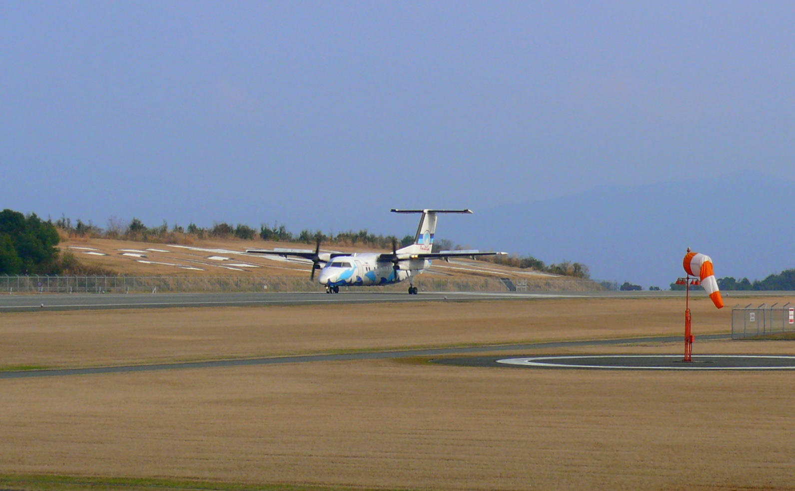

The islands are served by Amakusa Airfield, located on the north end of Shimoshima. The islands are connected to the mainland by the Five Bridges of Amakusa and by ferry from Hondo and Matsushima.
There are also ferries between the islands and the neighboring prefectures of Kagoshima Prefecture and Nagasaki Prefecture. The ferry from Oniike on the north Shimoshima to Kuchinotsu, at the southern tip of the Shimabara Peninsula, is run by the Shimabara Railway and operates hourly each day.[3] The ferry boat from Tomioka Port in Reihoku, sailing north to Mogi in Nagasaki Prefecture, is operated by Yasuda Sangyo Kisen Co. Ltd.[4] Two ferries from Shinwa and Ushibuka, in the south of Shimoshima, connect Amakusa to Nagashima in Kagoshima Prefecture.
References
- 'Clay Mineral Associations And Mineralogical Properties Of Quartz In Some Pottery Stones Of Western Kyushu, Japan. M.Nakagawa. Applied Clay Science, Vol. 8, Issue 5. Jan. 1994
- MUJI IT Department. "MUJI Online - Welcome to the MUJI Online Store". Muji.eu. Retrieved 2016-09-11.
- (in Japanese) Sea-Gull Ferry information, web: Shima.
- (in Japanese) Ferry boat schedule, web: Yasuda-kisen Archived 2011-08-10 at the Wayback Machine.
Sources
- Rowthorn, Chris; Justin Ellis; Ray Bartlett (2005). Japan. Lonely Planet. ISBN 1-74059-924-1.
Authority control | |
|---|---|
| General | |
| National libraries | |
На других языках
[de] Amakusa-Inseln
Die Amakusa-Inseln (jap. 天草諸島, -shotō) sind eine zu Japan gehörende Inselgruppe.- [en] Amakusa
[es] Islas Amakusa
Las islas Amakusa (天草) son un archipiélago costero japonés localizado al suroeste de la gran isla de Kyūshū con una superficie total de 900 km², al oeste de la prefectura de Kumamoto (anteriormente la provincia de Higo), de la que está separada por el mar de Yatsushiro. Está servido por el aeropuerto de Amakusa. La ciudad más importante era Hondo, que el 27 de marzo de 2006 se fusionó con otra serie de ciudades, todas del distrito de Amakusa y la antigua ciudad de Ushibuka, para formar la nueva ciudad de Amakusa y ya no existe como un municipio independiente.[fr] Îles Amakusa
Les îles Amakusa (天草諸島, Amakusa-shotō?) sont un archipel appartenant au Japon qui se trouve au large de la préfecture de Kumamoto. Il ne possède pas de hautes montagnes mais a une surface recouverte de petites collines. Les habitants de cet archipel ont d'ailleurs utilisé ces collines pour construire un système de culture en terrasses assez développé.[it] Arcipelago di Amakusa
L'arcipelago di Amakusa (天草諸島, Amakusa-shotō, che significa "Erba del Paradiso") sono un gruppo di più di 100 isole situate nel Giappone meridionale, nella regione di Kyūshū. È circondato dal Mar Ariake a nord, dal Mare Yatsushiro (o Mare Shiranui) a est e sud-est, e dal Mar Cinese Orientale a ovest e sud-ovest.[ru] Амакуса (острова)
Ама́куса[2] (яп. 天草諸島[3]) — японский архипелаг в Восточно-Китайском море около западных берегов острова Кюсю. Административно относится к префектурам Кумамото и Кагосима[4][2][3].Другой контент может иметь иную лицензию. Перед использованием материалов сайта WikiSort.org внимательно изучите правила лицензирования конкретных элементов наполнения сайта.
WikiSort.org - проект по пересортировке и дополнению контента Википедии