geo.wikisort.org - Island
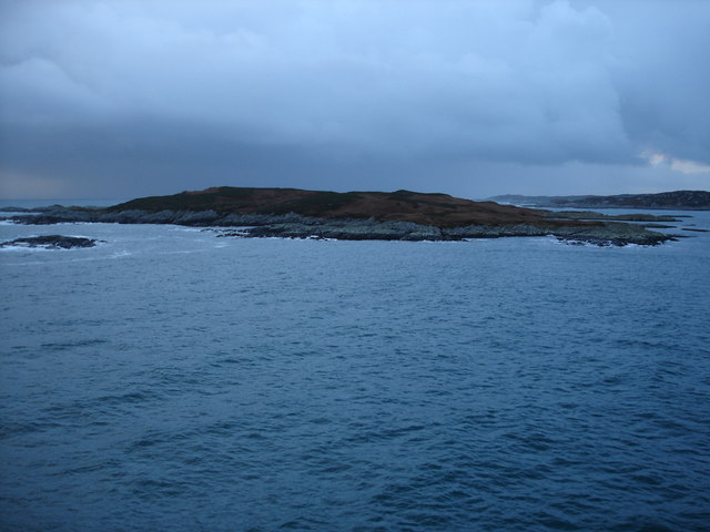
Eilean Ornsay is a rocky and uninhabited island located off the south-western coast of the Inner Hebridean island of Coll. It is situated on the western side of Loch Eatharna and is joined to Coll at low tide.[2] Evidence of the dun and other archaeological finds were recently discovered by a field walk on the east side of Coll.[3]
| Scottish Gaelic name | Eilean Ornsay |
|---|---|
| Meaning of name | tidal island |
| Location | |
 Eilean Ornsay Eilean Ornsay shown within Argyll and Bute | |
| OS grid reference | NR161523 |
| Coordinates | 56.6°N 6.51°W |
| Physical geography | |
| Island group | Mull |
| Area | 14 ha (1⁄16 sq mi) |
| Highest elevation | 10 m (33 ft) |
| Administration | |
| Sovereign state | United Kingdom |
| Country | Scotland |
| Council area | Argyll and Bute |
| Demographics | |
| Population | 0 |
| References | [1] |
Archaeology

The island was recently visited by members of Coll Archaeology Association Shorewatch, resulting in the discovery of evidence of several archaeological sites which had previously been unrecorded. Evidence of a possible dun was found located at grid reference NM2260855491. Several examples of rock-cut basins were found: one located at grid reference NM2232951503; and three located at grid reference NM2238854899. A kelp kiln was found at grid reference NM2255855492; a shell mound was found at grid reference NM2234555423; a sheiling at grid reference NM2248353480; and an enclosure at grid reference NM2250353492.[4]
References
- Haswell-Smith, Hamish (2004). The Scottish Islands. Edinburgh: Canongate. ISBN 978-1-84195-454-7.
- "Ornsay, Eilean". www.geo.ed.ac.uk. Retrieved 10 December 2009.
- Historic Environment Scotland. "Coll, Eilean Ornsay (272237)". Canmore. Retrieved 6 December 2009.
- Turner, Robin, ed. (2004). "2003" (PDF). Discovery and Excavation in Scotland. New series. Council for Scottish Archaeology. 4: 29–30. ISSN 0419-411X.
External links
| Wikimedia Commons has media related to Eilean Ornsay. |
This Argyll and Bute location article is a stub. You can help Wikipedia by expanding it. |
Другой контент может иметь иную лицензию. Перед использованием материалов сайта WikiSort.org внимательно изучите правила лицензирования конкретных элементов наполнения сайта.
WikiSort.org - проект по пересортировке и дополнению контента Википедии