geo.wikisort.org - Island
Garbh Eileach is an uninhabited island in the Inner Hebrides of the west coast of Scotland. It is the largest of the Garvellachs and lies in the Firth of Lorne between Mull and Argyll.
| Scottish Gaelic name | Garbh Eileach |
|---|---|
| Meaning of name | rough rock[1] |
| Location | |
 Garbh Eileach Garbh Eileach shown within Argyll and Bute | |
| OS grid reference | NM665115 |
| Coordinates | 56.24°N 5.77°W |
| Physical geography | |
| Island group | Garvellachs |
| Area | 142 hectares (0.55 sq mi) |
| Area rank | 127= [2] |
| Highest elevation | 110 m |
| Administration | |
| Sovereign state | United Kingdom |
| Country | Scotland |
| Council area | Argyll and Bute |
| Demographics | |
| Population | 0 |
| References | [3][4][5] |
The name is Gaelic for "rough rock".[1] The Anglicised version of the name gives the whole group of islands its name, the Garvellachs.
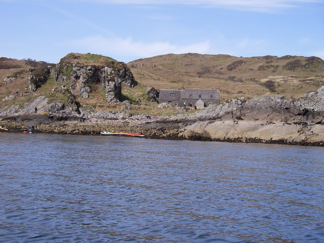
There is a small ruined fort above a bay on the eastern coast.[6]
Footnotes
- Mac an Tàilleir (2003) p. 53
- Area and population ranks: there are c. 300 islands over 20 ha in extent and 93 permanently inhabited islands were listed in the 2011 census.
- National Records of Scotland (15 August 2013). "Appendix 2: Population and households on Scotland's Inhabited Islands" (PDF). Statistical Bulletin: 2011 Census: First Results on Population and Household Estimates for Scotland Release 1C (Part Two) (PDF) (Report). SG/2013/126. Retrieved 14 August 2020.
- Haswell-Smith, Hamish (2004). The Scottish Islands. Edinburgh: Canongate. ISBN 978-1-84195-454-7.
- Ordnance Survey. OS Maps Online (Map). 1:25,000. Leisure.
- Pallister, Marian (2005) Lost Argyll: Argyll's Lost Heritage. Edinburgh. Birlinn. Page 133.
References
- Mac an Tàilleir, Iain (2003) Ainmean-àite/Placenames. (pdf) Pàrlamaid na h-Alba. Retrieved 26 August 2012.
External links
| Wikimedia Commons has media related to Garbh Eileach. |

This Argyll and Bute location article is a stub. You can help Wikipedia by expanding it. |
На других языках
- [en] Garbh Eileach
[es] Garbh Eileach
Garbh Eileach es una isla deshabitada, localizada en el grupo de las Hébridas Interiores, en la costa oeste de Escocia. Es la isla más grande del grupo de las Garvellachs y se encuentra en aguas del Firth of Lorn, entre la isla de Mull y la isla de Argyll.[fr] Garbh Eileach
Garbh Eileach est une île inhabitée du Royaume-Uni située en Écosse, dans l'archipel des Garvellachs.Текст в блоке "Читать" взят с сайта "Википедия" и доступен по лицензии Creative Commons Attribution-ShareAlike; в отдельных случаях могут действовать дополнительные условия.
Другой контент может иметь иную лицензию. Перед использованием материалов сайта WikiSort.org внимательно изучите правила лицензирования конкретных элементов наполнения сайта.
Другой контент может иметь иную лицензию. Перед использованием материалов сайта WikiSort.org внимательно изучите правила лицензирования конкретных элементов наполнения сайта.
2019-2025
WikiSort.org - проект по пересортировке и дополнению контента Википедии
WikiSort.org - проект по пересортировке и дополнению контента Википедии