geo.wikisort.org - Sea
The Dead Kultuk (Kazakh: Өлі қолтық шығанағы[1] Ölı qoltyq şyğanağy; Russian: Мёртвый Култук) is a bay of the Caspian Sea in the coast of Kazakhstan, west of the Ustyurt desert.
| Dead Kultuk | |
|---|---|
| Өлі қолтық шығанағы | |
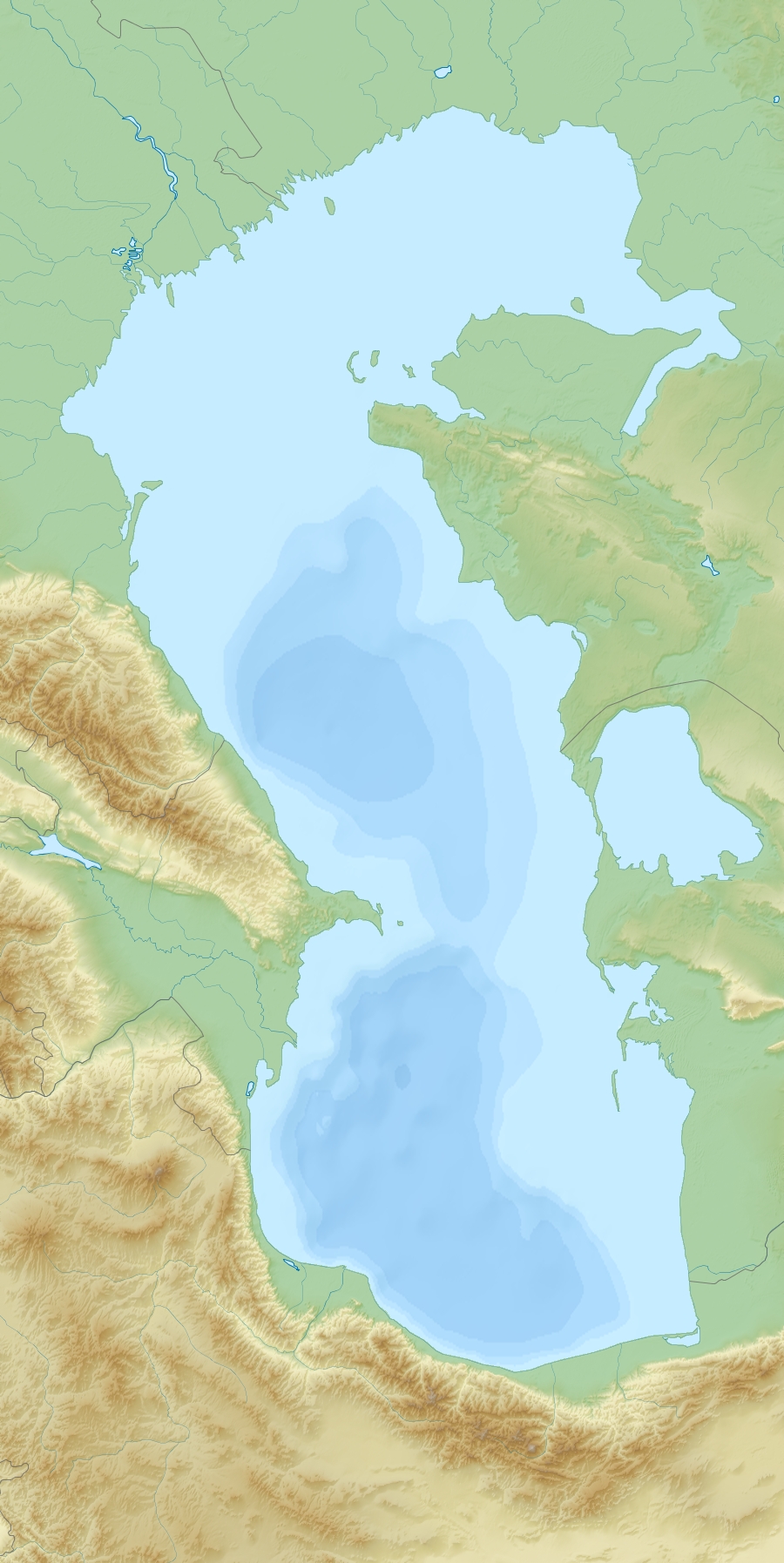 Dead Kultuk Location in the Caspian Sea | |
| Location | Mangystau Region, Kazakhstan |
| Coordinates | 45°25′17″N 54°1′50″E |
| Native name | Óli qoltyq shyǵanaǵ (Kazakh) |
| Ocean/sea sources | Caspian Sea |
| Basin countries | Kazakhstan |
| Surface area | 500 km2 (190 sq mi) |
| Average depth | 1 m (3 ft 3 in) |
| Islands | Durneva Island |
| Settlements | 0 |
The bay was known as 'Tsesarevich Bay' and then as 'Komsomolets Bay' in the past.[2] Durneva Island lies near the entrance to the Dead Kultuk.[3]
It had a distinct coastline in former times, but since the 1990s, with higher Caspian Sea levels, the water penetrates inland through the neck of the bay producing waterlogged marshes. Located at the mainland end of the bay, the Kaydak Inlet cuts deep into the coast extending east and then southwards. Nowadays both the bay and the inlet are filled with Caspian Sea water.[2] Currently there are oil fields in the area.[4]
Cartography
Owing to its special colour the Dead Kultuk is the bay which appears in early maps of the Caspian Sea as 'Blue Sea' (French: Mer Bleue in maps in that language).[5] The area was mapped by Fedor Ivanovich Soimonov during the Caspian Expedition, which surveyed the Caspian Sea from 1719 to 1727, but was not accurately described until G. S. Karelin did so in 1832.[2]
 |
 |
See also
- Buzachi Peninsula
- Dunga oil field
References
- "Маңғыстау облысының шолу картасы" (in Kazakh). Retrieved 2018-10-11.
- Igor S. Zonn, Aleksey N Kosarev, Michael H. Glantz & Andrey G. Kostianoy, The Caspian Sea Encyclopedia, p. 156
- Ostrov Durneva
- "Dunga and Dead Kultuk fields". kmg2.isd.kz. 2012. Retrieved 2013-05-19.
- Guillaume de Lisle, Carte des Pays voisins de la Mer Caspiene
.jpg)
External links
- Caspian Sea Biodiversity
- Overview of oil and natural gas in the Caspian Sea region Last Updated: August 26, 2013
- Earth As Art 3: A Landsat Perspective
This Kazakhstan location article is a stub. You can help Wikipedia by expanding it. |
На других языках
- [en] Dead Kultuk
[ru] Мёртвый Култук
Мёртвый Култук (каз. Өлі қолтық шығанағы, бывший залив Цесаревича и залив Комсомолец) — ранее залив у северо-восточного берега Каспийского моря, ныне пролив в залив Кайдак. Расположен на территории Мангистауской области Казахстана.Другой контент может иметь иную лицензию. Перед использованием материалов сайта WikiSort.org внимательно изучите правила лицензирования конкретных элементов наполнения сайта.
WikiSort.org - проект по пересортировке и дополнению контента Википедии