geo.wikisort.org - Island
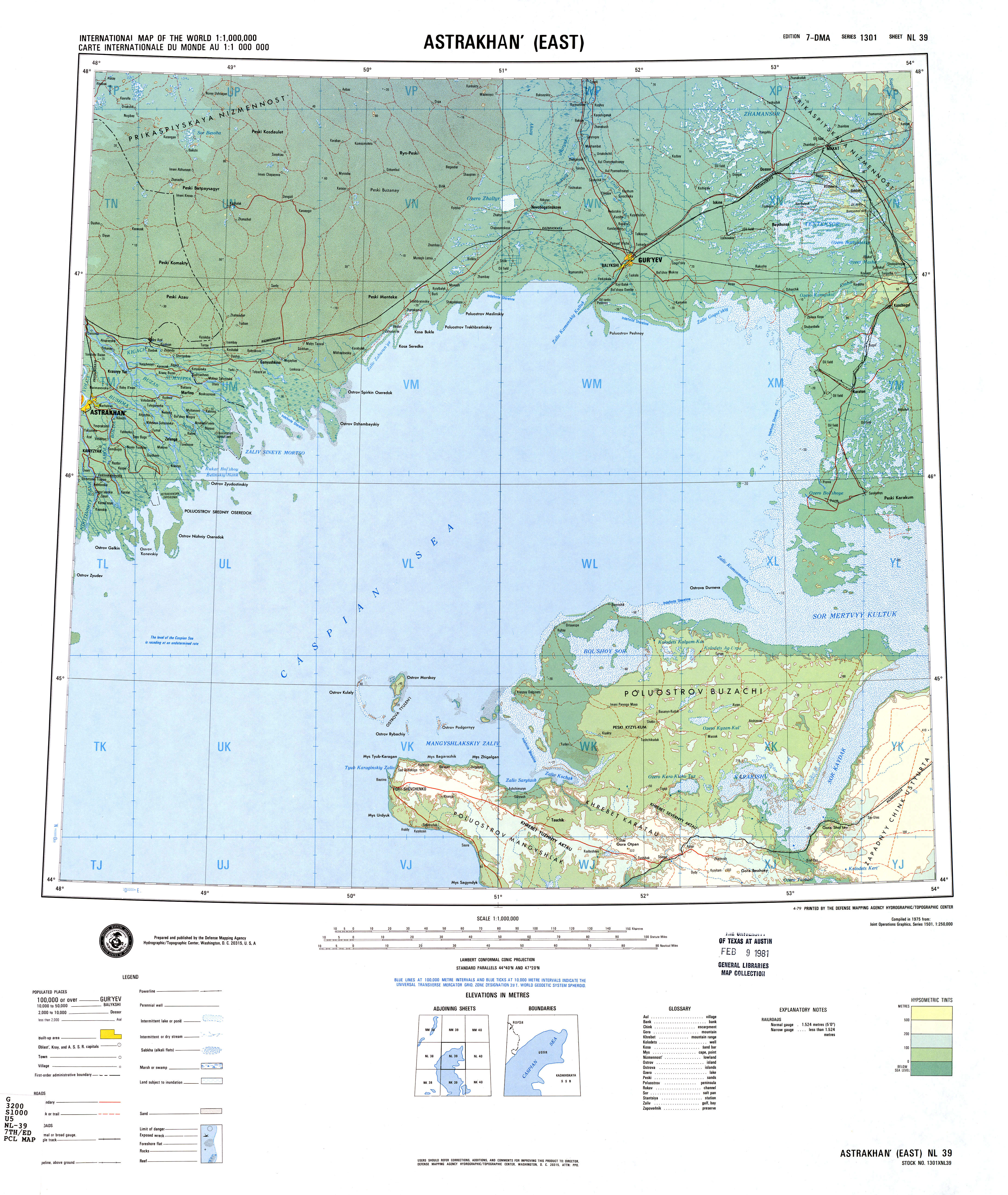
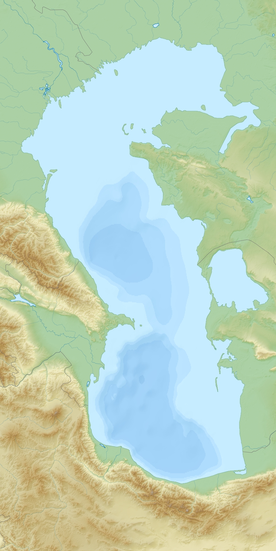
Durneva Island or Dūrnev Araldary (Russian: Ostrov Durnëva) is a coastal island near the entrance of the Dead Kultuk (former Komsomolets Bay) of the eastern Caspian Sea.[1] It is located north of the Buzachi Peninsula and 41.6 km north of Turum.[2]
This page's infobox may require expansion, verification, or otherwise need cleanup. |
Durneva
Дурнева Dūrnev Araldary | |
|---|---|
Island | |
 North-East part of the Caspian Sea | |
 Durneva | |
| Coordinates: 45°28′N 52°45′E | |
| Country | Kazakhstan |
| Region | Mangystau Region |
Administratively Durneva Island belongs to the Mangystau Region of Kazakhstan.
Cartography
Durneva is probably the island which appears in early maps of the Caspian Sea as Ile des Cygnes (Swan Island). The island was first accurately mapped only by Fedor Ivanovich Soimonov during the 1719 Caspian Expedition, which surveyed the Caspian Sea from 1719 to 1727.[3]
 |
References
- Geographic data
- Turum information and distances
- Igor S. Zonn, Aleksey N Kosarev, Michael H. Glantz & Andrey G. Kostianoy, The Caspian Sea Encyclopedia
External links
|
This Kazakhstan location article is a stub. You can help Wikipedia by expanding it. |
На других языках
- [en] Durneva Island
[ru] Дурнева
Дурнева — остров в Каспийском море.Текст в блоке "Читать" взят с сайта "Википедия" и доступен по лицензии Creative Commons Attribution-ShareAlike; в отдельных случаях могут действовать дополнительные условия.
Другой контент может иметь иную лицензию. Перед использованием материалов сайта WikiSort.org внимательно изучите правила лицензирования конкретных элементов наполнения сайта.
Другой контент может иметь иную лицензию. Перед использованием материалов сайта WikiSort.org внимательно изучите правила лицензирования конкретных элементов наполнения сайта.
2019-2026
WikiSort.org - проект по пересортировке и дополнению контента Википедии
WikiSort.org - проект по пересортировке и дополнению контента Википедии