geo.wikisort.org - Sea
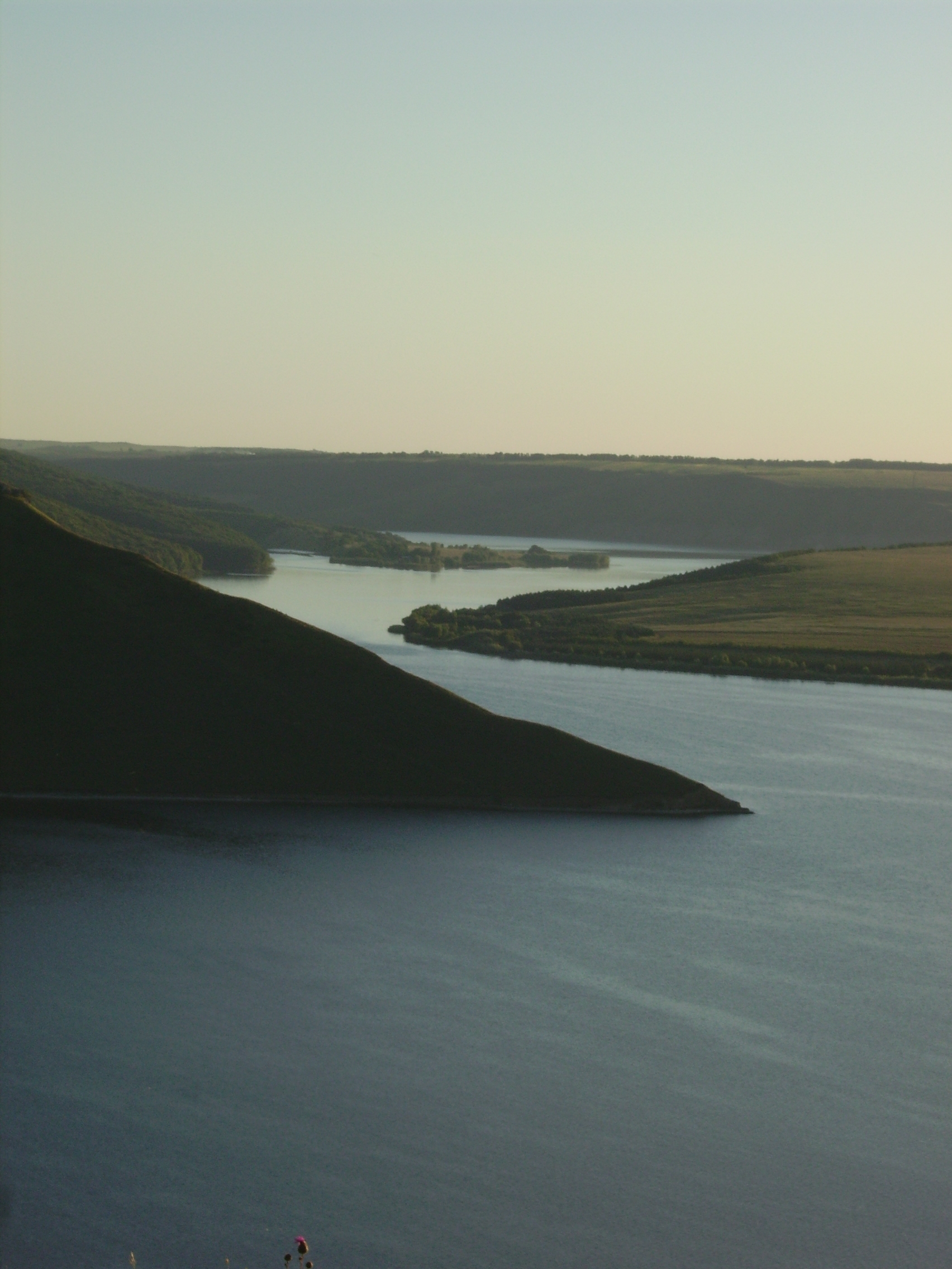
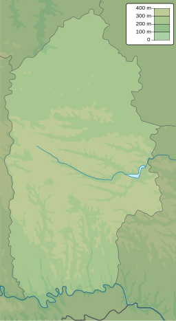
Bakota Bay (Ukrainian: Бакотська затока) is a bay located on the Dniester River that was formed after the construction of the Dniester Hydro Power Station. The bay is part of the Podilski Tovtry National Nature Park. Its area is about 1,590 ha (3,900 acres).
| Bakota Bay | |
|---|---|
 | |
 Bakota Bay  Bakota Bay | |
| Location | Dniester River, Podilski Tovtry |
| Coordinates | |
| Ocean/sea sources | Atlantic Ocean |
| Basin countries | Ukraine |
| Max. width | 1,700 km (1,100 mi) |
| Surface area | 1,590 ha (3,900 acres) |
| Max. depth | 34 m (112 ft) |
Ramsar Wetland | |
| Official name | Bakotska Bay |
| Designated | 29 July 2004 |
| Reference no. | 1396[1] |
 | |
Overview
Bakota Bay is located near the villages of Horayivka and Kolodiyivka, 50 km (31 mi) southeast from Kamianets-Podilskyi. Located in a river canyon, the ecological environment is typical of that of the of upper Dniester basin. The bay plays an important role in the conservation of a number of rare species of Ukrainian plants and animals:
- species of birds
- first of all predatory (Northern goshawk, Accipiter gentilis; Eurasian sparrowhawk, Accipiter nisus; Common buzzard, Buteo buteo; Short-toed snake eagle, Circaetus gallicus; Common kestrel, Falco tinnunculus),
- of extended stay during spring and autumn migrations birds of the wetland habitat (Mallard, Anas platyrhynchos; Mute swan, Cygnus olor; Great egret, Egretta alba; Little egret, Egretta garzetta; Wood sandpiper, Tringa glareola; Northern lapwing, Vanellus vanellus; others)
- spawning of fish.
Physical and biogeographical characteristics
Bakota Bay is a designated continental biogeographical region within the European Emerald network. It is categorized as belonging to the East European province of the European broadleaf area, and belongs to the mid-portion of the Dniester basin (upstream of Dniester Reservoir).
Wetland physical features
The bay is located within the Volhynian-Podolian tectonic block. The geology of the bay is characterized by limestone, marls, sandstones, shales, as well as granites and gneisses that are overlaid with loesses. The surrounding area forms part of a gentle rolling loess plain. The area belongs to the West-Podolian region of West Podolian Province of the Podolian Forest-steppe zone. Soils are dark grey podzol, chernozems podzol, predominantly on loess rocks.
The bay was created in 1976 following the creation of the Dniester Reservoir on the Dniester River. It is 194 km (121 mi) long and holds a volume of 3 km3 (0.72 cu mi) of water. A buffer reservoir with a length of 17 km (11 mi) and a capacity of 0.031 km3 (0.0074 cu mi) is located dowstream. The concentration of water minerals in upper Dniester varies around 205–570 mg/L (14.4–40.0 gr/imp gal). The water, which is of good qualityis used to supply Kamianets-Podilskyi.
See also
- Bakota, Ukraine
References
- "Bakotska Bay". Ramsar Sites Information Service. Retrieved 7 October 2018.
External links
- Bakota Bay at the Biomon Wetlands
- Bakota Bay. Igotoworld.
- View of the bay.
Другой контент может иметь иную лицензию. Перед использованием материалов сайта WikiSort.org внимательно изучите правила лицензирования конкретных элементов наполнения сайта.
WikiSort.org - проект по пересортировке и дополнению контента Википедии