geo.wikisort.org - River
The Ōtira River is located in the central South Island of New Zealand. It rises on the slopes of Mount Rolleston in the Southern Alps / Kā Tiritiri o te Moana, and flows north for 20 kilometres (12 mi), passing through the town of Otira before joining the Taramakau River.[1] The Taramakau's outflow is into the Tasman Sea, 12 kilometres (7.5 mi) south of Greymouth.
| Ōtira River | |
|---|---|
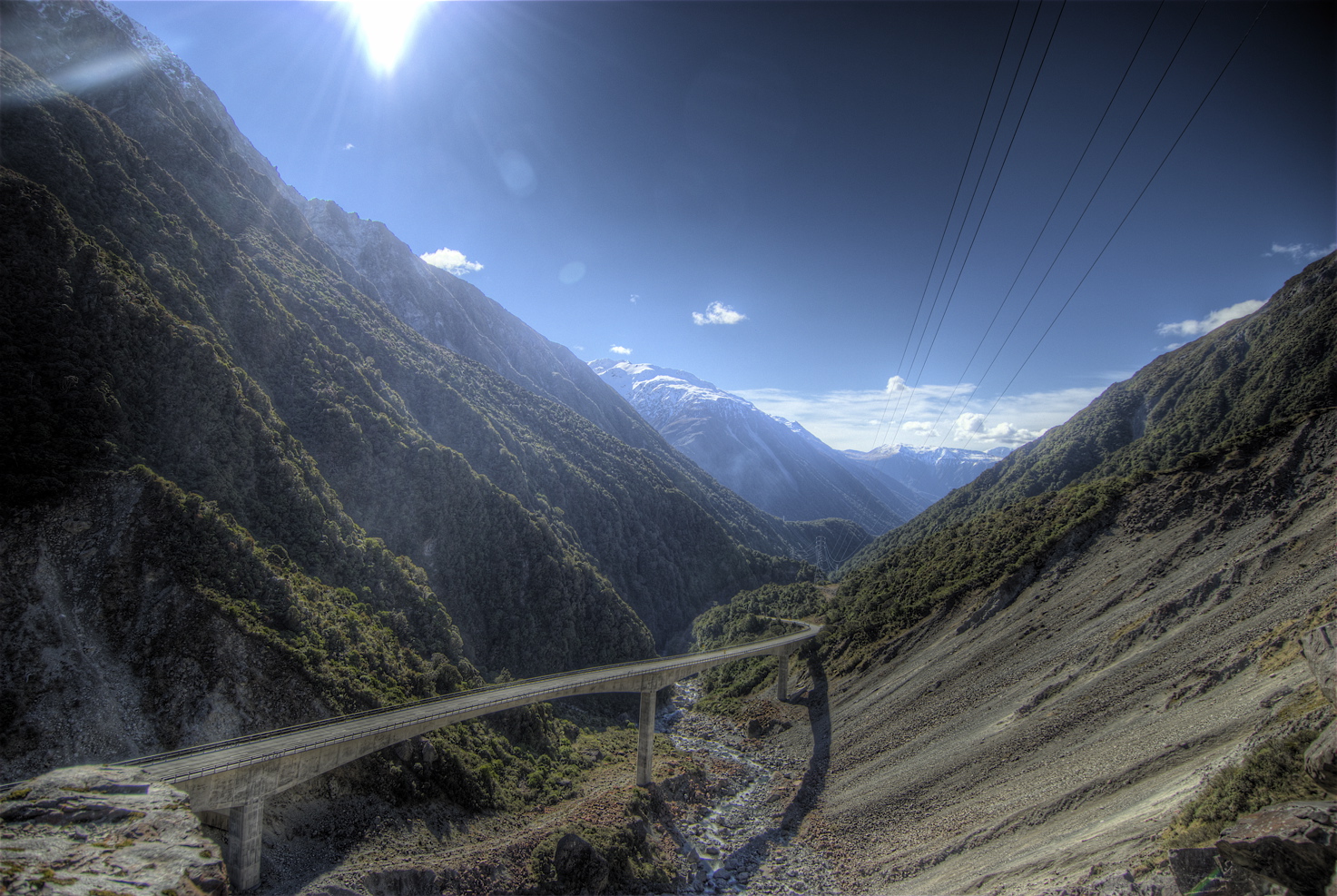 Upper Ōtira River and Ōtira Viaduct | |
| Location | |
| Country | New Zealand |
| Physical characteristics | |
| Source | |
| • location | Mount Rolleston |
| Mouth | |
• location | Taramakau River |
| Length | 20 km (12 mi) |
The valley of the Otira River forms the northwestern approach to Arthur's Pass, one of the three main passes across the Southern Alps.
References
Wikimedia Commons has media related to Otira River.
- "Place name detail: Ōtira River". New Zealand Gazetteer. New Zealand Geographic Board. Retrieved 20 December 2020.
На других языках
[de] Ōtira River
Der Ōtira River ist ein Fluss in der Region West Coast auf der Südinsel von Neuseeland.- [en] Ōtira River
[es] Río Otira
El río Otira es un río neozenlandés situado en el centro de la Isla Sur de Nueva Zelanda.[1] Se eleva sobre las laderas del monte Rolleston en los Alpes Neozelandeses, y fluye hacia el norte por 20 km, pasando por la ciudad de Otira antes de unirse al río Taramakau. La desembocadura del Taramakau es en el mar de Tasmania, 12 kilómetros al sur de Greymouth.Текст в блоке "Читать" взят с сайта "Википедия" и доступен по лицензии Creative Commons Attribution-ShareAlike; в отдельных случаях могут действовать дополнительные условия.
Другой контент может иметь иную лицензию. Перед использованием материалов сайта WikiSort.org внимательно изучите правила лицензирования конкретных элементов наполнения сайта.
Другой контент может иметь иную лицензию. Перед использованием материалов сайта WikiSort.org внимательно изучите правила лицензирования конкретных элементов наполнения сайта.
2019-2026
WikiSort.org - проект по пересортировке и дополнению контента Википедии
WikiSort.org - проект по пересортировке и дополнению контента Википедии