geo.wikisort.org - River
Waddell Creek is the name given to both the creek and the watershed that run through Big Basin Redwoods State Park in Santa Cruz County, California.[5] The Waddell Creek mainstem is formed by the confluence of East and West Waddell Creeks, and empties into the Pacific Ocean at Waddell Beach, just south of Año Nuevo Point.
| Waddell Creek | |
|---|---|
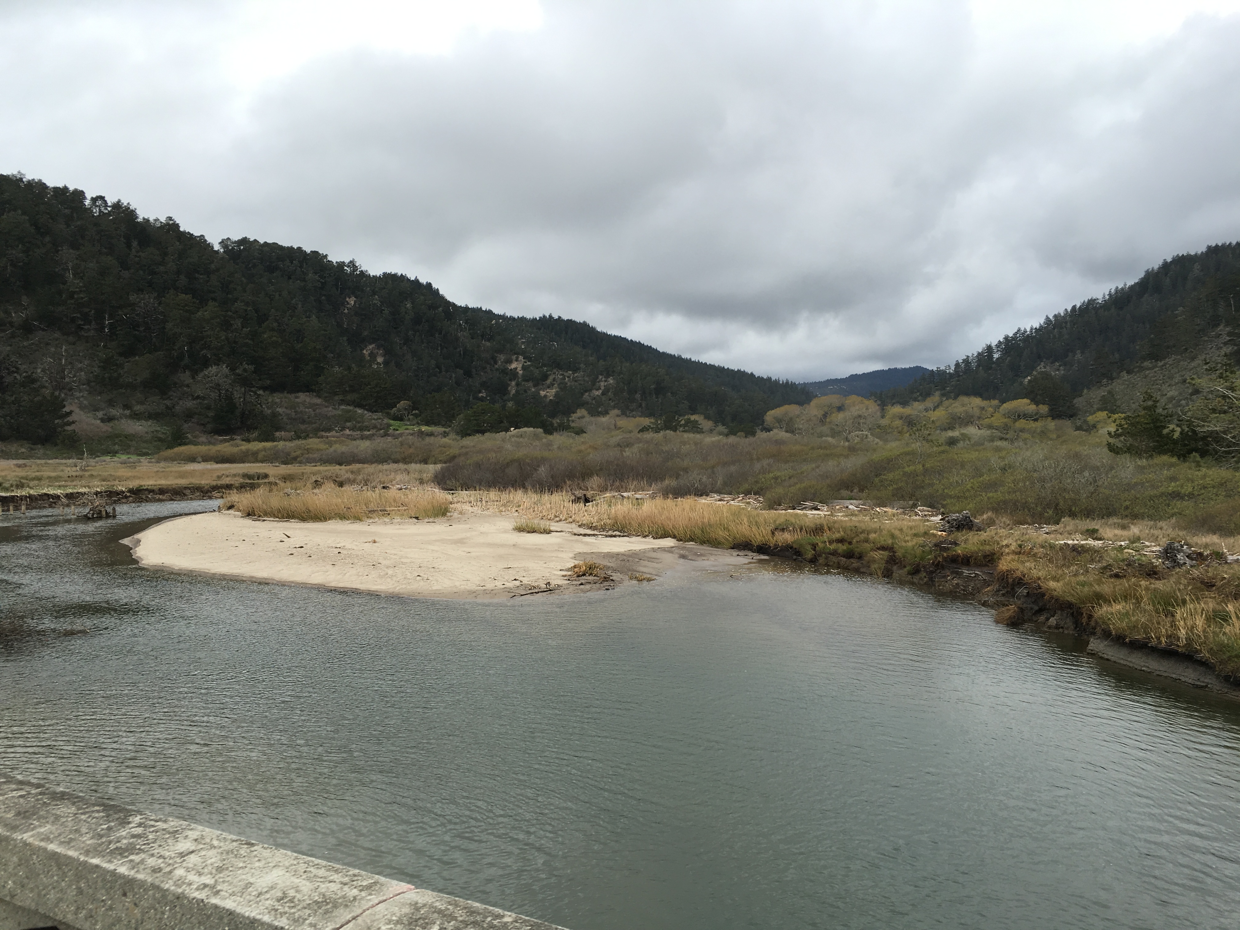
 The mouth of Waddell Creek at Waddell Beach, in the Rancho Del Oso section of the Big Basin Redwoods State Park | |
| Location | |
| Country | United States |
| State | California |
| Region | Santa Clara County |
| Physical characteristics | |
| Source | Confluence of East and West Waddell Creeks in the |
| • location | Big Basin Redwoods State Park |
| • coordinates | 37°08′02″N 122°16′03″W[3] |
| • elevation | 82 ft (25 m)[4] |
| Mouth | Pacific Ocean |
• coordinates | 37°05′33″N 122°16′36″W[3] |
• elevation | 0 ft (0 m)[3] |
| Basin features | |
| Tributaries | |
| • left | East Waddell Creek |
| • right | West Waddell Creek |


History
The first European land exploration of Alta California, the Spanish Portolà expedition, passed through the area on its way north, camping for three days at Waddell Creek, October 20–22, 1769, and initially named the creek Cañada de San Luis Beltran. The longer stay was because of heavy rains, and fears that the weather would worsen the condition of those in the party who were sick. Instead, as Franciscan missionary Juan Crespi noted in his diary, "it seemed as though God had sent them health with the drenching, for to the surprise of everybody they began to improve, and in a short time were entirely recovered, thanks to God, to whom we attributed this special blessing. For this reason the valley was renamed Cañada de la La Salud."[6][1]
William Waddell of Kentucky came to California in 1851. The first American settler of the area (for whom the creek and valley are named), he built a sawmill on the creek in 1862 above the Waddell Forks and conducted an extensive timber harvesting operation in the area, a lumber-hauling tramway from the mill to the beach, and a wharf.[7] Waddell was killed by a grizzly bear in 1875.[1]
Watershed and course
The Waddell Creek mainstem is 2.75 miles (4.43 km) long although total distance from headwater source tributaries to the sea is 14 miles (23 km).[8] The Waddell Creek watershed drains 26 square miles (67 km2) and consists of many headwater creeks that feed its two tributaries, East and West Waddell Creeks. West Waddell Creek has its source at 1,800 feet (550 m) along the border of Santa Cruz and San Mateo Counties, while East Waddell Creek's source is at the confluence of Opal Creek and Blooms Creek at 915 feet (279 m) just below Big Basin Redwoods State Park headquarters in Santa Cruz County.[9][10][4] Some of the uppermost headwaters streams originate above 2,000 feet (610 m).[4]
Ecology
Historically, Waddell Creek was home to spawning runs by both steelhead trout (Oncorhynchus mykiss) and coho salmon (Oncorhynchus kisutch).[8] In 1995 a review of coho south of San Francisco Bay found coho restricted to only one remnant population in Waddell Creek, one small naturalized (hatchery-influenced) population in Scott Creek and a small hatchery-maintained, non-native run in the San Lorenzo River, all in Santa Cruz County. Historically, coho were found in approximately 50 coastal drainages in San Mateo and Santa Cruz counties, but by the 1960s spawning runs were limited to 11 stream systems. The 1995 combined average annual spawning population of native and naturalized coho salmon in Waddell and Scott Creeks was estimated at only 50-60 adults, comprising only 1.5% of the estimated abundance of coho salmon south of San Francisco Bay in the early 1960s.[11] Coho vanished from Waddell Creek but there is hope of returns from the Kingfisher Flat Hatchery on the Big Creek tributary to nearby Scott Creek where the salmon returned in 2015 due to stocking efforts.[12]
Usable salmonid spawning and rearing habitat is limited by the 2.65 miles (4.26 km) distance from Waddell Forks (elevation 82 feet (25 m)) to Slippery Falls (elevation 185 feet (56 m) on West Waddell Creek and the 1.0 mile (1.6 km) from Waddell Forks to the Main Falls on East Waddell Creek (elevation 210 feet (64 m).[8]
The upper stream banks are in the coast redwood (Sequoia sempervirens) belt of the Santa Cruz Mountains while the lower stream banks are lined by red alder (Alnus rubra), big-leaf maple (Acer macrophyllum), California buckeye (Aesculus californica), Pacific madrone (Arbutus menziesii), California laurel (Umbellularia californica), and, in the lowermost portion, by willows (Salix spp.). Occasionally encountered are tanoak (Lithocarpus densiflora), box elder (Acer negundo subsp. californicum), white alder (Alnus rhombifolia), black cottonwood (Populus trichocarpa), California nutmeg (Torreya californica), and coast Douglas fir (Pseudotsuga menziesii var. menziesii).[8]
See also
References
- Erwin Gustav Gudde (1960). California Place Names: The Origin and Etymology of Current Geographical Names. University of California Press. p. 356. GGKEY:403N5Z6QERG.
- Donald Thomas Clark (1986). Santa Cruz County Place Names. Santa Cruz: Santa Cruz Historical Society.
- "Waddell Creek". Geographic Names Information System. United States Geological Survey.
- U.S. Geological Survey. National Hydrography Dataset high-resolution flowline data. The National Map Archived 2012-03-29 at the Wayback Machine, accessed January 29, 2017
- Monterey Bay National Marine Sanctuary page
- Bolton, Herbert E. (1927). Fray Juan Crespi: Missionary Explorer on the Pacific Coast, 1769-1774. HathiTrust Digital Library. pp. 217–219. Retrieved March 5, 2017.
- Rancho del Oso - History
- Shapovalov, Leo and Taft, Alan C. (May 1, 1954). "Fish Bulletin No. 98. The Life Histories of the Steelhead Rainbow Trout (Salmo gairdneri gairdneri) and Silver Salmon (Oncorhynchus kisutch) with Special Reference to Waddell Creek, California, and Recommendations Regarding Their Management". Fish Bulletin. Retrieved January 29, 2017.
{{cite journal}}: CS1 maint: uses authors parameter (link) - "West Waddell Creek". Geographic Names Information System. United States Geological Survey.
- "East Waddell Creek". Geographic Names Information System. United States Geological Survey.
- Keith R. Anderson (March 1995). "A Status Review of the Coho Salmon (Oncorhynchus kisutch) in California South of San Francisco Bay". Report to the Fish Commission, California Department of Fish and Game. Retrieved January 29, 2017.
- Samantha Clark (August 8, 2015). "Saving grace for salmon: Hatchery managers assist fish by copying nature". Santa Cruz Sentinel. Retrieved January 29, 2017.
| Peaks |  | |
|---|---|---|
| Rivers and creeks |
| |
| Parks |
| |
| Hiking trails |
| |
| Open Space Preserves |
| |
| Other |
| |
Другой контент может иметь иную лицензию. Перед использованием материалов сайта WikiSort.org внимательно изучите правила лицензирования конкретных элементов наполнения сайта.
WikiSort.org - проект по пересортировке и дополнению контента Википедии