geo.wikisort.org - River
The Tana (Finnish: Teno [ˈteno] or Tenojoki; Northern Sami: Deatnu [ˈtea̯tnuː]; Norwegian: Tana/Tanaelva; Swedish: Tana älv) is a 361-kilometre (224 mi) long river in the Sápmi area of northern Fennoscandia. The river flows through Troms og Finnmark county, Norway and the Lapland region of Finland. The Sámi name means "Great River". The main tributaries of Tana are Anarjohka and Karasjohka.[1]
| Tana Tenojoki / Deatnu / Tana älv | |
|---|---|
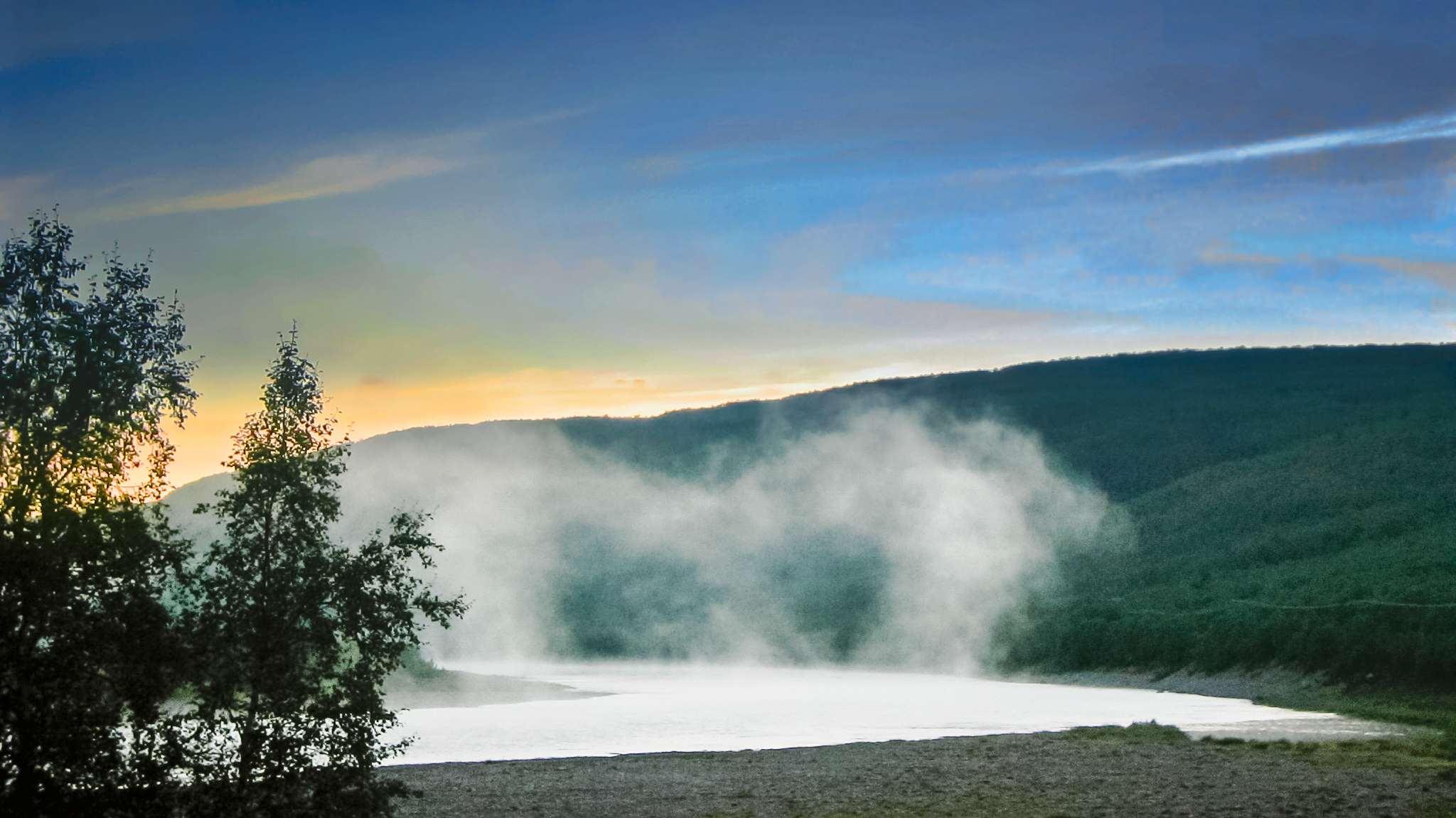
 View of the river | |
| Location | |
| Countries |
|
| Regions |
|
| Physical characteristics | |
| Source | Anarjohka-Karasjohka |
| • location | North of Karigasniemi, Norway-Finland border |
| • coordinates | 69°26′03″N 25°48′13″E |
| • elevation | 125 m (410 ft) |
| Mouth | Tanafjorden |
• location | Tana Municipality, Troms og Finnmark, Norway |
• coordinates | 70°07′12″N 28°34′22″E |
• elevation | 0 m (0 ft) |
| Length | 361 km (224 mi) |
| Basin size | 16,377 km2 (6,323 sq mi) |
| Discharge | |
| • average | 197 m3/s (7,000 cu ft/s) |
| Basin features | |
| River system | Karasjohka |
Geography
In its upper course it runs for 256 km (159 mi) along the Finnish–Norwegian border, between the municipalities of Utsjoki, Finland and Karasjok and Tana, Norway. The river is the fifth longest in Norway. The last 105 kilometres (65 mi) of the river run through the municipality of Tana in Norway. The river discharges into the Tanafjorden, one of the largest and most unspoiled river deltas in Europe. The delta is protected and is an important home to wetland birds. There are large deposits of sand in the delta that are exposed sandbars at low tide.[1]
Fishing
In 2022, authorities in Norway and in Finland will not permit salmon fishing (in the river).[2][3]
The Tana is well known for its excellent salmon fishery and is the most productive salmon river in Finland and Norway. The world's record for Atlantic salmon is held by a salmon caught on the Tana; it was 36 kilograms (79 lb) and was taken in 1929 by the late Nils Mathis Walle.
In 2020, 18,600 kilograms (41,000 lb) was the annual total of salmon captured in the river.[3] Previously, in 2002, fishermen on the river captured an annual total of 99,546 kilograms (219,461 lb) salmon with an average size of 4.5 kilograms (9.9 lb) in the river. The annual sea trout catch for that year on the river was 4,426 kilograms (9,758 lb). Both Finland and Norway regulate the fishing on the river and drift net fishing is allowed on the river.[1]
Transportation
The Tana Bridge (or Nybrua) was constructed in 2020; its main span is 234 metres (768 ft).
The Sami Bridge at Utsjoki was constructed in 1993. The European route E6 highway follows the western shoreline of the river for most of the length of the river.
In winter, there are usually two ice roads that are in use from December to April. These roads are located near Rustefjelbma and near Polmak, and have a weight limit of 2 tonnes (2.0 long tons; 2.2 short tons), but few other limitations.
References
- Store norske leksikon. "Tanaelva" (in Norwegian). Retrieved 2013-03-21.
- https://www.nrk.no/vestland/no-startar-laksefisket-_-i-elvane-som-ikkje-er-_tomme_-1.15985725. NRK. Retrieved 31 May 2022
- "Stopp i laksefisket i Tanavassdraget – overfiske får skylda". 7 April 2021.
External links
![]() Media related to Tana River (Fennoscandia) at Wikimedia Commons
Media related to Tana River (Fennoscandia) at Wikimedia Commons
- Historiker: – En stor skandale innen naturforvaltning [Historian: – A great scandal in regard to conservation of nature] (10 April 2021) NRK
- Angling in Tana river[permanent dead link]
На других языках
[de] Tanaelva
Die Tanaelv (norwegisch Tana oder Tanaelva (-a = weiblicher bestimmter Artikel)) bzw. Tenojoki (finnisch; kurz: Teno, nordsamisch: Deatnu (wörtlich „großer Fluss“)) ist der norwegisch-finnische Grenzfluss.- [en] Tana (Norway)
[es] Río Tana (Noruega-Finlandia)
El río Tana o Teno (en finés, Teno o Tenojoki; en sami septentrional, Deatnu; en noruego, Tanaelva; en sueco, Tana älv), es un destacado río del norte de la península escandinava, de 318 km de longitud que discurre por la región de Sápmi y desemboca en el fiordo de Tana, en el mar de Barents (océano Ártico). Administrativamente, el río corre por el condado noruego de Troms og Finnmark y la región finlandesa de Laponia finlandesa. El nombre sámi del río significa «Gran río». El río se forma de la unión de los ríos Anarjohka (152,9 km) y Karasjohka (166 km), cerca de la localidad de Karigasniemi.[it] Teno (fiume)
Il Teno o Kymijoki (in finlandese Tenojoki, in norvegese Tana, in lingua sami Deatnu) è un fiume della Finlandia e della Norvegia, di cui è il terzo fiume per lunghezza.[ru] Танаэльв
Та́наэльв[1], Тана[2] (норв. Tanaelva, швед. Tana älv), или Те́нойоки[3] (фин. Tenojoki), Тено[2], фин. Teno или сев.‑саам. Deatnu) — река, протекающая по границе Норвегии и Финляндии (фюльке Финнмарк и провинция Лапландия, соответственно). На саамском языке название означает «большая река». Пятая по протяжённости река Норвегии[4].Другой контент может иметь иную лицензию. Перед использованием материалов сайта WikiSort.org внимательно изучите правила лицензирования конкретных элементов наполнения сайта.
WikiSort.org - проект по пересортировке и дополнению контента Википедии