geo.wikisort.org - River
The Sinn is a river that flows through the state of Hesse and the Bavarian province of Lower Franconia in southern Germany. It is about 69 kilometres (43 mi) long and is a right, northerly tributary of the Franconian Saale.
This article needs additional citations for verification. (April 2016) |
| Sinn | |
|---|---|
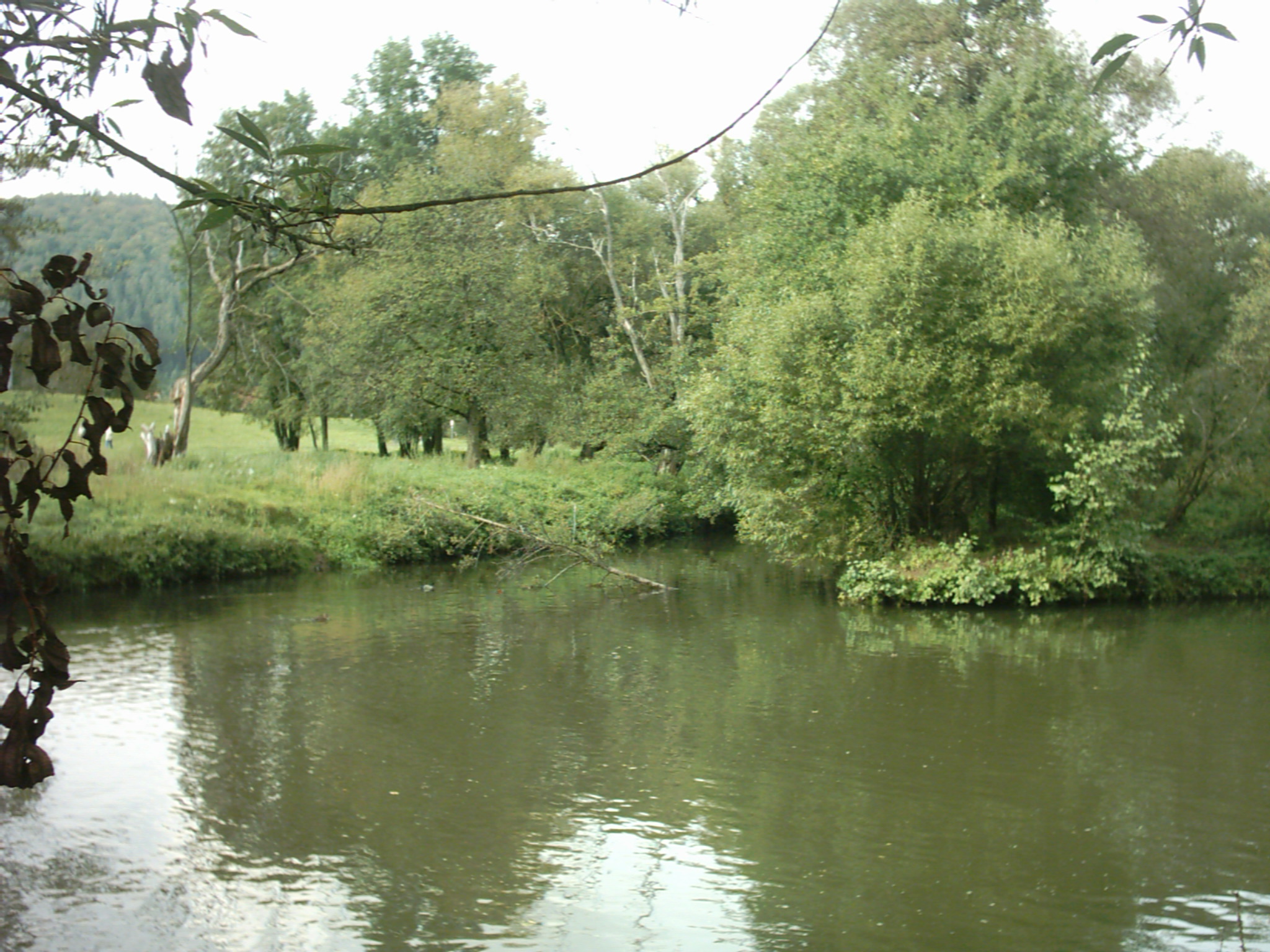 The Sinn where it enters the Franconian Saale | |
| Location | |
| Country | Germany |
| States | Hesse and Bavaria |
| Reference no. | DE: 2448 |
| Physical characteristics | |
| Source | |
| • location | near Oberwildflecken |
| • coordinates | 50°23′07″N 9°58′14″E |
| • elevation | c. 671 m above sea level (NN) |
| Mouth | |
• location | near Gemünden into the Franconian Saale |
• coordinates | 50°03′39″N 9°41′28″E |
• elevation | c. 154 m above sea level (NN) |
| Length | 69.4 km (43.1 mi) [1] |
| Basin size | 623.78 km2[2] |
| Discharge | |
| • average | 5,869 L/s |
| • minimum | Average low: 1,174 L/s |
| Basin features | |
| Progression | Franconian Saale→ Main→ Rhine→ North Sea |
| Tributaries | |
| • left | Oberbach, Mittelbach, Trockenbach, Mitzbach, Röthbach, Kretzengraben |
| • right | Ziegelhüttengraben, Disbach, Höllgraben, Leinbach, Krechenbach, Schmale Sinn, Gronaubach, Jossa, Aura, Fliesenbach |
Course
The Sinn emerges in the Franconian Rhön at the foot of the Kreuzberg near the local subdistrict (Gemarkung) of Neuwildflecken. At Zeitlofs on the Hessian-Lower Franconian border it flows into the Schmale Sinn which joins it from the Dammersfeldkuppe to the northeast.
Accompanied in places by the Würzburg−Fulda railway and crossed by the A 7 motorway bridge below Riedenberg, the Sinn initially flows in a southwesterly and then in a southerly direction to Gemünden, where it joins the Franconian Saale just under 700 m before the latter river discharges into the River Main.
Tributaries
The tributaries of the Sinn include (in downstream order): Oberbach, Schmale Sinn, Gronau, Jossa and Aura.
Towns and villages
The towns and villages along the Sinn and Schmale Sinn include (in downstream order):
Sinn
Wildflecken, Oberbach, Riedenberg, Bad Brückenau, Eckarts-Rupboden, Zeitlofs, Altengronau, Jossa, Obersinn, Mittelsinn, Burgsinn, Rieneck, Schaippach, Gemünden, (Oberzell).
Schmale Sinn
Kothen, Speicherz, the A 7 Grenzwald Bridge, Oberzell, Weichersbach, Mottgers
Nature
The existence of the extremely rare snake's head fritillary in the Sinn Valley has been recorded since the 19th century. This plant occurs at heights between 160 and 250 metres in various meadow communities, especially in the wet meadows of the two nature reserves that border one another: the Sinngrund near Obersinn and Sinnwiesen von Altengronau.
References
- Complete table of the Bavarian Waterbody Register by the Bavarian State Office for the Environment (xls, 10.3 MB)
- Fischereiverband Unterfranken: Sinn Archived 2010-10-22 at the Wayback Machine
| Authority control |
|
|---|
На других языках
[de] Sinn (Fluss)
Die Sinn ist der größte Nebenfluss der Fränkischen Saale in den deutschen Bundesländern Bayern und Hessen. Sie entspringt in der Rhön und fließt überwiegend nach Süden. Ihre Einmündung in die Fränkische Saale liegt kurz vor deren Einmündung in den Main.- [en] Sinn (river)
[it] Sinn (fiume)
La Sinn è un fiume tedesco che scorre nella Bassa Franconia (Baviera) e nell'Assia. Lungo poco più di 60 km, sfocia nella Saale di Franconia.[ru] Зинн (река)
Зинн (нем. Sinn) — река в Германии, протекает по землям Гессен и Бавария. Правый приток Френкише-Зале. Речной индекс 2448[1].Другой контент может иметь иную лицензию. Перед использованием материалов сайта WikiSort.org внимательно изучите правила лицензирования конкретных элементов наполнения сайта.
WikiSort.org - проект по пересортировке и дополнению контента Википедии