geo.wikisort.org - Mountains
The Kreuzberg is one of the Rhön Mountains in southern Germany. With about 928 m (3,045 ft) high it is the highest elevation of the Bavarian part of the Rhön, in the province of Lower Franconia. The Kreuzberg — also referred to as the "sacred mountain of the Franconians" — is near the town of Bischofsheim an der Rhön in the district Rhön-Grabfeld.
| Kreuzberg | |
|---|---|
 Kreuzberg seen from the north. Photo taken from the Arnsberg | |
| Highest point | |
| Elevation | 928 m (3,045 ft) |
| Prominence | 273 m (896 ft) |
| Coordinates | 50°22′15″N 9°58′06″E |
| Naming | |
| English translation | Cross Mountain |
| Language of name | German |
| Pronunciation | [ˈkʁɔʏtsbɛʁk] |
| Geography | |
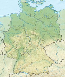 Kreuzberg Location within Germany  Kreuzberg Kreuzberg (Bavaria) | |
| Location | Lower Franconia, Germany |
| Parent range | Rhön Mountains |
Tourism
The Kreuzberg draws a large number of tourists. People visit the Kreuzberg particularly for hiking and or to go skiing in the winter. To that end there are three ski lifts on the northern side of the mountain. In addition, there is also a luge track on the Kreuzberg.
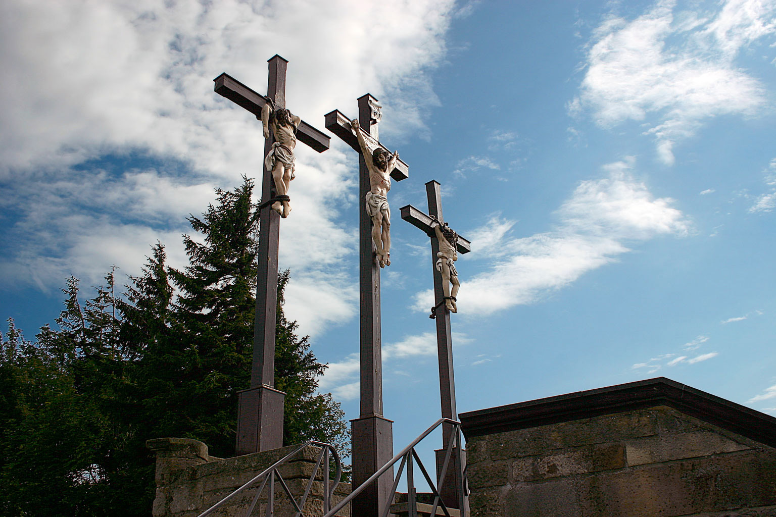
Kreuzberg Monastery (Kloster Kreuzberg), which is situated just below the summit of the mountain, is one of the main attractions as well. There are frequent pilgrimages to the monastery church. The monastery is also famous for its beer, which was brewed on site by the monks until about 1992. Today the beer is brewed by laypersons under the supervision of the monks. Three different beers (Dunkel, Pilsner and Hefe-Weizen) are produced year-round and a fourth (Weihnachts-Bock) is available during the Christmas season. Approximately 8,500 hectoliters of beer are brewed each year at the monastery. The current Braumeister ("brew master") is Ulrich Klebl.
Broadcasting
There is a facility for FM radio and TV broadcasting (the Kreuzberg transmitter) situated at 928 m AMSL on the Kreuzberg. A 156 m (512 ft) high guyed mast transmission tower was established in 1951 and used until 1985. It has since been replaced by a 208 m (682 ft) high guyed mast.
External links
- Monastery and brewery website (in German)
- Kreuzberg Transmitter (in German)
- Sendemast Kreuzberg at Structurae
- "Kreuzberg". Peakbagger.com.
На других языках
[de] Kreuzberg (Rhön)
Der Kreuzberg (früher Aschberg genannt) ist ein 927,8 m ü. NHN[1] hoher Berg der Rhön; nach der Wasserkuppe (950 m; höchster Berg Hessens) und der bayerisch-hessischen Dammersfeldkuppe (927,9 m; Gipfellage in Bayern) ist er der dritthöchste Rhönberg und nach der 0,1 m höheren Dammersfeldkuppe der zweithöchste der Bayerischen Rhön. Sein Gipfel ist jedoch der höchste unter den Bergen, die sich vollständig in Unterfranken befinden. Er liegt bei Haselbach im bayerischen Landkreis Rhön-Grabfeld (Regierungsbezirk Unterfranken).- [en] Kreuzberg (Rhön)
[fr] Kreuzberg (Rhön)
Le Kreuzberg (anciennement appelé Aschberg) est une montagne de 928 m d'altitude dans la Rhön en Bavière (Allemagne). Après la Wasserkuppe (950 m, plus haute montagne de Hesse) et la Dammersfeldkuppe entre Bavière et Hesse (928 m, sommet en Bavière, plus haut de 10 cm), c'est la troisième plus haute montagne de la Rhön. Cependant, il est la plus haute des montagnes situées entièrement en Basse-Franconie. Il se trouve près de Haselbach, dans l'arrondissement bavarois de Rhön-Grabfeld (circonscription administrative de la Basse-Franconie).Другой контент может иметь иную лицензию. Перед использованием материалов сайта WikiSort.org внимательно изучите правила лицензирования конкретных элементов наполнения сайта.
WikiSort.org - проект по пересортировке и дополнению контента Википедии