geo.wikisort.org - River
The Parker River is a perennial river of the Corangamite catchment, located in The Otways region of the Australian state of Victoria.
| Parker | |
|---|---|
 Parker River | |
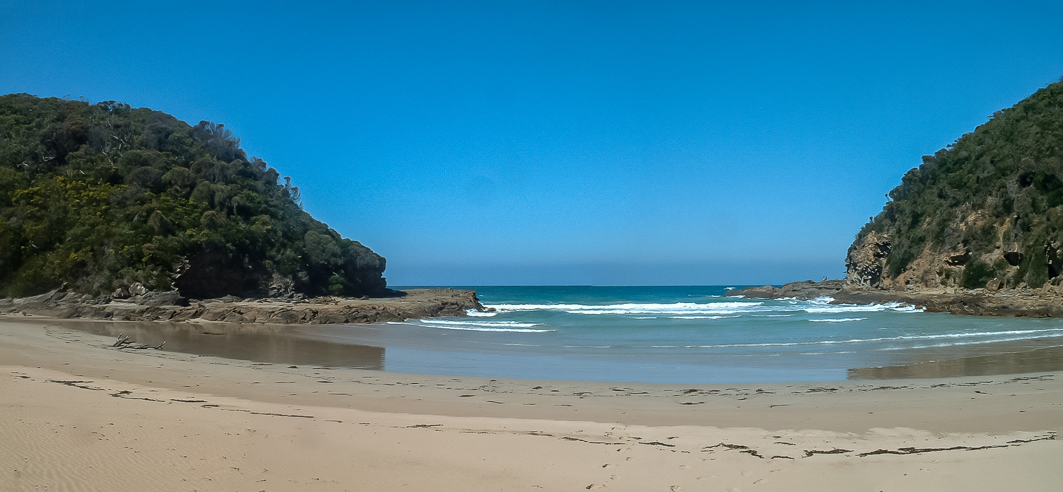
 Location of the Parker River mouth in Victoria | |
| Etymology | In honour of Amelia Parker[1] |
| Native name | Tjeerrang bundit (Gunditjmara)[2] |
| Location | |
| Country | Australia |
| State | Victoria |
| Region | South East Coastal Plain (IBRA), The Otways |
| Local government area | Colac Otway Shire |
| Physical characteristics | |
| Source | Otway Ranges |
| • location | near Parker Spur |
| • coordinates | 38°44′51″S 143°34′19″E |
| • elevation | 291 m (955 ft) |
| Mouth | Bass Strait |
• location | Cape Otway |
• coordinates | 38°50′43″S 143°33′40″E |
• elevation | 0 m (0 ft) |
| Length | 13 km (8.1 mi) |
| Basin features | |
| River system | Corangamite catchment |
| National park | Great Otway National Park |
| [3][4] | |
Location and features
The Parker River rises in the Otway Ranges in southwest Victoria, near Parkers Spur and flows generally south through the Great Otway National Park before reaching its river mouth and emptying into Bass Strait, east of Cape Otway and the Cape Otway Lighthouse, near Point Franklin. From its highest point, the river descends 291 metres (955 ft) over its 13-kilometre (8.1 mi) course.[4][5]
Etymology
In the Australian Aboriginal Gadubanud language the river is named, Tjeerrang bundit, meaning "twigs of spear tree".[2]
The river was given its current name by surveyor George Smythe after Amelia Parker, to whom he was later married.[1]
See also
- List of rivers of Victoria
References
- Bird, Eric (12 October 2006). "Place Names on the Coast of Victoria" (PDF) (PDF). Australian National Placename Survey (ANPS). Archived from the original (PDF) on 18 February 2011. Retrieved 10 September 2010.
- "Parker River: 6162: Historical Information". Vicnames. Government of Victoria. 12 August 2011. Archived from the original on 2 June 2014. Retrieved 1 June 2014.
- "Parker River: 6162". Vicnames. Government of Victoria. 2 May 1966. Archived from the original on 2 June 2014. Retrieved 1 June 2014.
- "Map of Parker River, VIC". Bonzle Digital Atlas of Australia. Archived from the original on 23 September 2015. Retrieved 1 June 2014.
- "Great Otway National Park and Otway Forest Park: Great West Otways - Kennett River to Princetown Marreeyn Visitor Guide" (PDF). parknote. Parks Victoria. p. 2. Archived from the original (PDF) on 31 March 2012. Retrieved 31 March 2012.
External links
- "Great Otway National Park". Parks Victoria. Government of Victoria. 2014.
- "Corangamite Catchment Management Authority". Government of Victoria. 2014. Archived from the original on 12 May 2014.
Rivers of the Corangamite catchment, Victoria, Australia | |||||||
|---|---|---|---|---|---|---|---|
| Barwon Basin |
| ||||||
| Corangamite Basin |
| ||||||
| Moorabool Basin |
| ||||||
| Otway Basin |
| ||||||
| |||||||
This article about a location in Barwon South West (region) is a stub. You can help Wikipedia by expanding it. |
Другой контент может иметь иную лицензию. Перед использованием материалов сайта WikiSort.org внимательно изучите правила лицензирования конкретных элементов наполнения сайта.
WikiSort.org - проект по пересортировке и дополнению контента Википедии