geo.wikisort.org - River
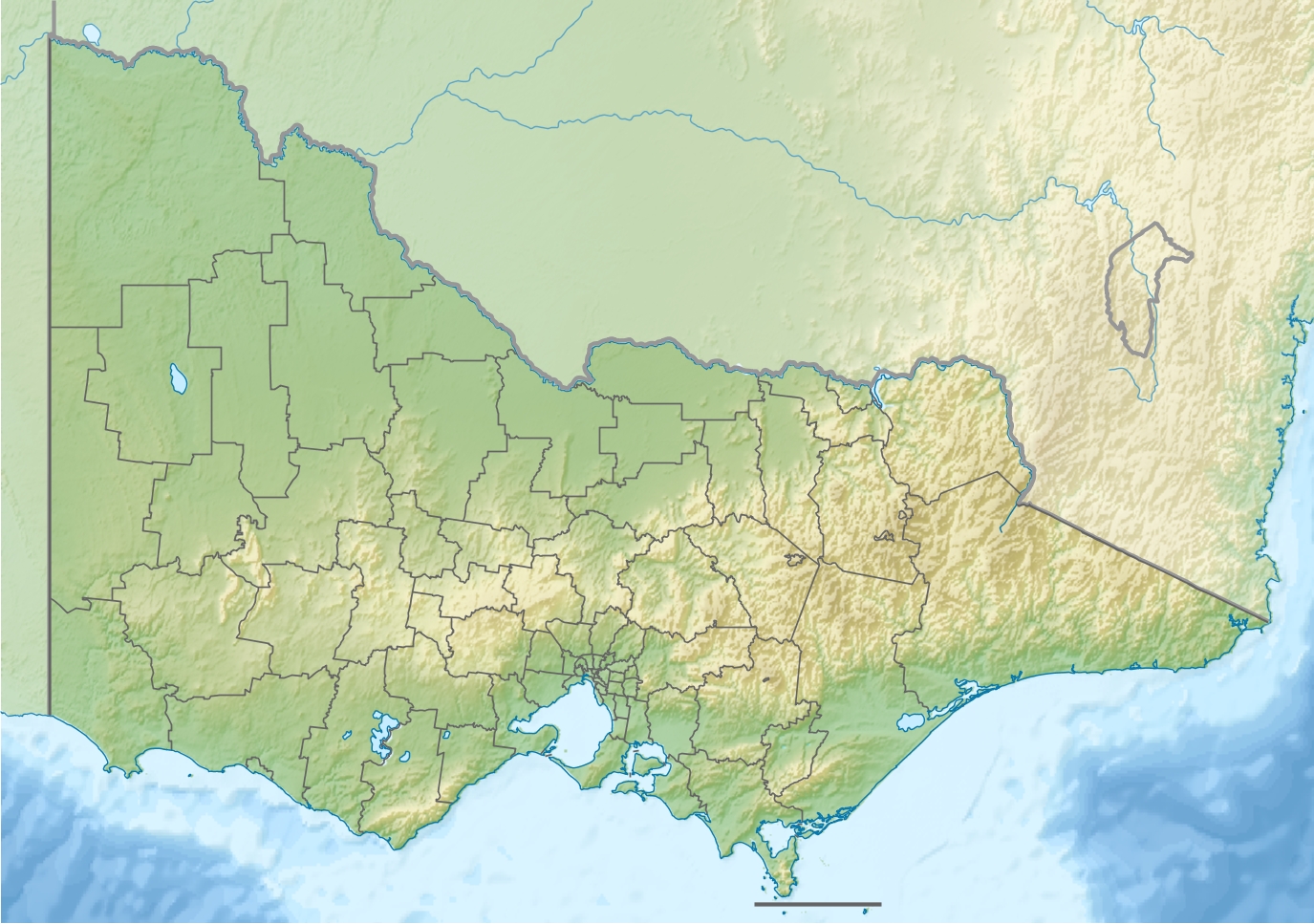
The Ada River is a perennial river of the West Gippsland catchment, located in the West Gippsland region of the Australian state of Victoria.
| Ada | |
|---|---|
  Mouth of the Ada River in Victoria | |
| Location | |
| Country | Australia |
| State | Victoria |
| Region | South East Coastal Plain (IBRA), West Gippsland |
| Local government area | Shire of Baw Baw |
| Physical characteristics | |
| Source | Marney Hill |
| • location | northeast of Powelltown |
| • coordinates | 37°49′33″S 145°47′39″E |
| • elevation | 843 m (2,766 ft) |
| Mouth | confluence with the Latrobe River |
• location | west of Noojee |
• coordinates | 37°52′56″S 145°53′43″E |
• elevation | 297 m (974 ft) |
| Length | 14 km (8.7 mi) |
| Basin features | |
| River system | West Gippsland catchment |
| [1][2] | |
Course and features
Ada River rises below Marney Hill, northeast of Powelltown, in a state forestry area, and flows generally northeast, then south by east, before reaching its confluence with the Latrobe River, north of the Yarra Junction-Noojee Road, west of the locality of Noojee in the Shire of Baw Baw. The river descends 546 metres (1,791 ft) over its 14-kilometre (8.7 mi) course.[2]
The Ada River sub-catchment area is managed by the West Gippsland Catchment Management Authority.
See also

References
- "Ada River: 9160". Vicnames. Government of Victoria. 2 May 1966. Archived from the original on 22 February 2014. Retrieved 8 February 2014.
- "Map of Ada River, VIC". Bonzle Digital Atlas of Australia. Retrieved 8 February 2014.
External links
- "West Gippsland Regional Catchment Strategy (2013 - 2019)" (PDF) (PDF – 4MB). West Gippsland Catchment Management Authority. 2012. ISBN 978-0-9805562-8-5.[permanent dead link]
- "Latrobe Catchment Ecosystem" (PDF) (PDF). West Gippsland Catchment Management Authority. 2012. Archived from the original (PDF) on 6 April 2011.
Rivers of the West Gippsland catchment, Victoria, Australia | |||||||
|---|---|---|---|---|---|---|---|
| Latrobe Basin |
| ||||||
| South Gippsland Basin |
| ||||||
| Thomson Basin |
| ||||||
| No defined basin |
| ||||||
| |||||||

 | This article about a location in Gippsland (region) is a stub. You can help Wikipedia by expanding it. |
На других языках
[de] Ada River (Latrobe River)
Der Ada River ist ein Fluss in Gippsland im australischen Bundesstaat Victoria.- [en] Ada River (Baw Baw, Victoria)
Текст в блоке "Читать" взят с сайта "Википедия" и доступен по лицензии Creative Commons Attribution-ShareAlike; в отдельных случаях могут действовать дополнительные условия.
Другой контент может иметь иную лицензию. Перед использованием материалов сайта WikiSort.org внимательно изучите правила лицензирования конкретных элементов наполнения сайта.
Другой контент может иметь иную лицензию. Перед использованием материалов сайта WikiSort.org внимательно изучите правила лицензирования конкретных элементов наполнения сайта.
2019-2026
WikiSort.org - проект по пересортировке и дополнению контента Википедии
WikiSort.org - проект по пересортировке и дополнению контента Википедии