geo.wikisort.org - River
The Lymington River drains part of the New Forest in Hampshire in southern England. Numerous headwaters to the west of Lyndhurst give rise to the river, including Highland Water, Bratley Water and Fletchers Water. From Brockenhurst the river runs southwards to the Solent at Lymington.
| River Lymington or Lymington River Highland Water | |
|---|---|
 New Forest ponies grazing next to the Lymington River near Brockenhurst | |
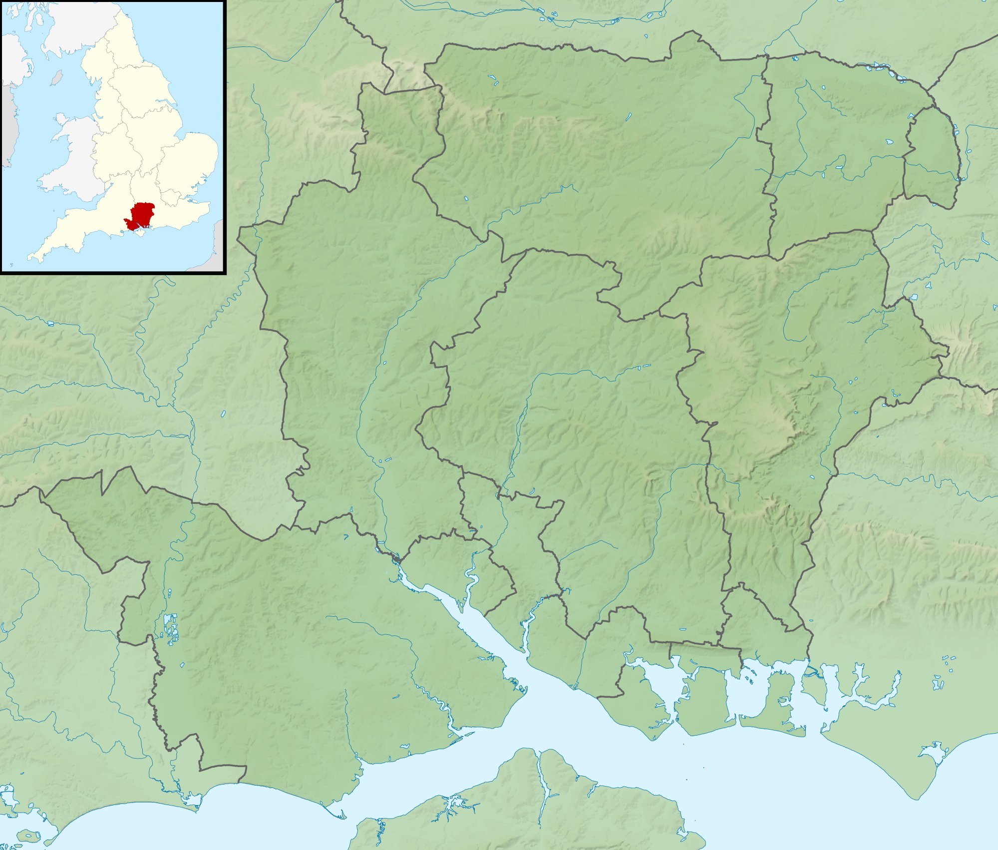 The mouth in a Hampshire outline natural map. | |
| Location | |
| Country | England |
| Region | Hampshire |
| District | New Forest |
| Physical characteristics | |
| Source | |
| • location | Ocknell Plain |
| • coordinates | 50.912°N 1.656°W |
| • elevation | 105 metres (344 ft) |
| Mouth | |
• location | Lymington |
• coordinates | 50.750°N 1.533°W |
• elevation | 0 metres |
| Length | 22 km (14 mi) |
| Basin features | |
| Tributaries | |
| • left | Long Brook, Bagshot Gutter, Etherise Gutter |
| • right | Warwickslade Cutting, Fletchers Water, Ober Water, Passford Water |

Highland Water rises north of the Ocknell Inclosure (SU243125) and flows for 10 km (6 mi) to Bolderford Bridge (SU291041) where it meets Ober Water. From there, it is known as the Lymington River and flows for a further 12 km (7 mi) to (SZ3493).
History
In 1731 a merchant navy captain, Captain Cross, constructed a causeway and bridge across the estuary to the north of Lymington.[1] He built toll houses and charged travellers using his causeway, more than a mile south of the existing bridge at Boldre.[2] This impedes the river and further silted up Lymington harbour, losing its minor shipping rapidly.[2] Lymington Corporation pursued the matter in court and lost their case.[2]
In 1795 the mud building up in the estuary "has rendered it already very narrow; and will probably in a few years, so completely choke it up, as to make it unnavigable by any ships of considerable burden."[3]
The causeway was taken over by the regional rail firm who collected the tolls until, after nationalised rail, it was bought out by Hampshire County Council in 1955 – tolls paid down the price and ceased a few years later.[2] Today silting in the harbour as a result of the structure (almost a dam) occurs, but is ameliorated a higher sea level and the scouring effects of the Isle of Wight ferries.[1] Before the structure it is said the diurnal tide influenced flow up to Brockenhurst.[4]
Against the sea, the outer limit of the end of the estuary's mud at low tide is 550–650 metres closer to land than in 1895.[5]
Reedbeds
The river's extensive reedbeds are a Site of Special Scientific Interest.
Water quality
The Environment Agency measure water quality of the river systems in England. Each is given an overall ecological status, which may be one of five levels: high, good, moderate, poor and bad. There are several components that are used to determine this, including biological status, which looks at the quantity and varieties of invertebrates, angiosperms and fish. Chemical status, which compares the concentrations of various chemicals against known safe concentrations, is rated good or fail.[6]
Water quality of the Lymington River in 2019:
| Section | Ecological Status | Chemical Status | Overall Status | Length | Catchment | Channel |
|---|---|---|---|---|---|---|
| Lymington River[7] | Moderate | Fail | Moderate | 21.928 km (13.625 mi) | 49.376 km2 (19.064 sq mi) | Heavily modified |
| Highland Water[8] | Moderate | Fail | Moderate | 14.695 km (9.131 mi) | 26.353 km2 (10.175 sq mi) | |
| Black Water[9] | Good | Fail | Moderate | 8.307 km (5.162 mi) | 20.742 km2 (8.009 sq mi) | |
| Ober Water[10] | Good | Fail | Moderate | 14.706 km (9.138 mi) | 22.781 km2 (8.796 sq mi) |
References
- Peter Bruce (2001) Solent Hazards, page 63 ISBN 187168031X
- Jude James (2013) Lymington Through Time ISBN 1445629364
- D. Y. (1795) Collections for the history of Hampshire, and the bishopric of Winchester: Including the Isles of Wight, Jersey, Guernsey, and Sarke, Volume 1, Section 2, page 24
- David William Garrow (1825) The history of Lymington, and its immediate vicinity, page 29
- "Explore georeferenced maps - Map images - National Library of Scotland".
- "Glossary (see Biological quality element; Chemical status; and Ecological status)". Catchment Data Explorer. Environment Agency. 17 February 2016.
 Text was copied from this source, which is available under an Open Government Licence v3.0. © Crown copyright.
 - "Lymington River". Catchment Data Explorer. Environment Agency.
- "Highland Water". Catchment Data Explorer. Environment Agency.
- "Black Water". Catchment Data Explorer. Environment Agency.
- "Ober Water". Catchment Data Explorer. Environment Agency.
External links
![]() Media related to Lymington River at Wikimedia Commons
Media related to Lymington River at Wikimedia Commons
| Biological |
|
|---|---|
| Geological |
|
| Main rivers main tributaries & sub-tributaries |
|  | ||||||||||
|---|---|---|---|---|---|---|---|---|---|---|---|---|
| Canals and Navigations | ||||||||||||
| Ordinary watercourses | ||||||||||||
| Lakes, ponds and wetlands |
| |||||||||||
| Coast |
| |||||||||||
Categories: Rivers, Canals | ||||||||||||
Другой контент может иметь иную лицензию. Перед использованием материалов сайта WikiSort.org внимательно изучите правила лицензирования конкретных элементов наполнения сайта.
WikiSort.org - проект по пересортировке и дополнению контента Википедии