geo.wikisort.org - River
The Kotuy (Russian: Котуй) is a river in Krasnoyarsk Krai, Russia. It is one of the two rivers that form the Khatanga; the other one being the Kheta.
| Kotuy Котуй | |
|---|---|
 View of the river | |
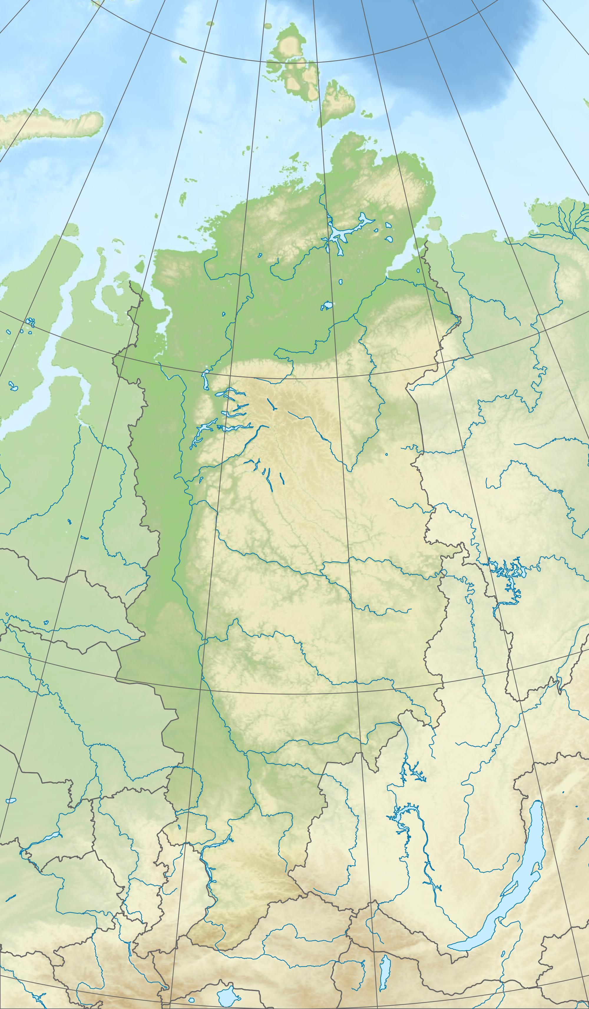 Location in the Krasnoyarsk Krai, Russia | |
| Location | |
| Taymyrsky Dolgano-Nenetsky District, Krasnoyarsk Krai, Russia | |
| Physical characteristics | |
| Source | |
| • location | Putorana Mountains |
| • coordinates | 69°4′13″N 94°52′27″E |
| • elevation | 753 m (2,470 ft) |
| Mouth | |
• location | Confluence with the Kheta to form the Khatanga |
• coordinates | 71°54′56″N 102°6′10″E |
• elevation | 1 m (3 ft 3 in) |
| Length | 1,409 km (876 mi) |
| Basin size | 176,000 km2 (68,000 sq mi) |
| Basin features | |
| Progression | Khatanga→ Laptev Sea |
The Kotuy is 1,409 kilometres (876 mi) long, and the area of its basin is 176,000 square kilometres (68,000 sq mi).[1] It freezes up in late September or early October and breaks up in late May or early June.
Course
The Kotuy has its source in the Putorana Mountains and flows north, cutting from the south across the western side of the Anabar Plateau. After leaving the plateau area it flows northwestwards until the confluence with the Kheta to form the Khatanga, a little distance upstream from Khatanga town.[2]
Its main tributaries are the Moyero, the Tukalan, the Eriyechka, the Changada, and the Kotuykan, which has its source in the highest part of the Anabar Plateau. Lake Yessey is part of the river basin.[3]
See also
References
- Котуй, Great Soviet Encyclopedia
- Google Earth
- Аnаbаr - Kotuykan River
| Authority control |
|
|---|
This Krasnoyarsk Krai location article is a stub. You can help Wikipedia by expanding it. |
This article related to a river in Russia is a stub. You can help Wikipedia by expanding it. |
На других языках
[de] Kotui
Der Kotui (russisch Котуй) ist der 1.409 km lange, rechtsseitige und südöstliche Quellfluss der Chatanga im Norden Sibiriens (Russland, Asien) und verläuft im ehemaligen Autonomen Kreis Taimyr im Norden der Region Krasnojarsk.- [en] Kotuy
[es] Río Kotuy
El río Kotuy (en ruso, Котуй, también transcrito como Kotuj) es un largo río ruso localizado en el krai de Krasnoyarsk, una de las fuentes, por la derecha, del río Játanga, que a su vez desagua en el mar de Láptev. Tiene una longitud de 1.409 km, y drena una gran cuenca de 176.000 km² (una extensión similar a la de Uruguay).[it] Kotuj
Il Kotuj (in russo: Коту́й?; nell'alto corso conosciuto anche come Sejsi)[2] è un fiume della Russia siberiana settentrionale (Territorio di Krasnojarsk), ramo sorgentizio di destra della Chatanga.[ru] Котуй
Коту́й (в верховье также Сейси[2]) — река в Красноярском крае России, сливаясь с рекой Хетой, образует реку Хатангу.Другой контент может иметь иную лицензию. Перед использованием материалов сайта WikiSort.org внимательно изучите правила лицензирования конкретных элементов наполнения сайта.
WikiSort.org - проект по пересортировке и дополнению контента Википедии