geo.wikisort.org - River
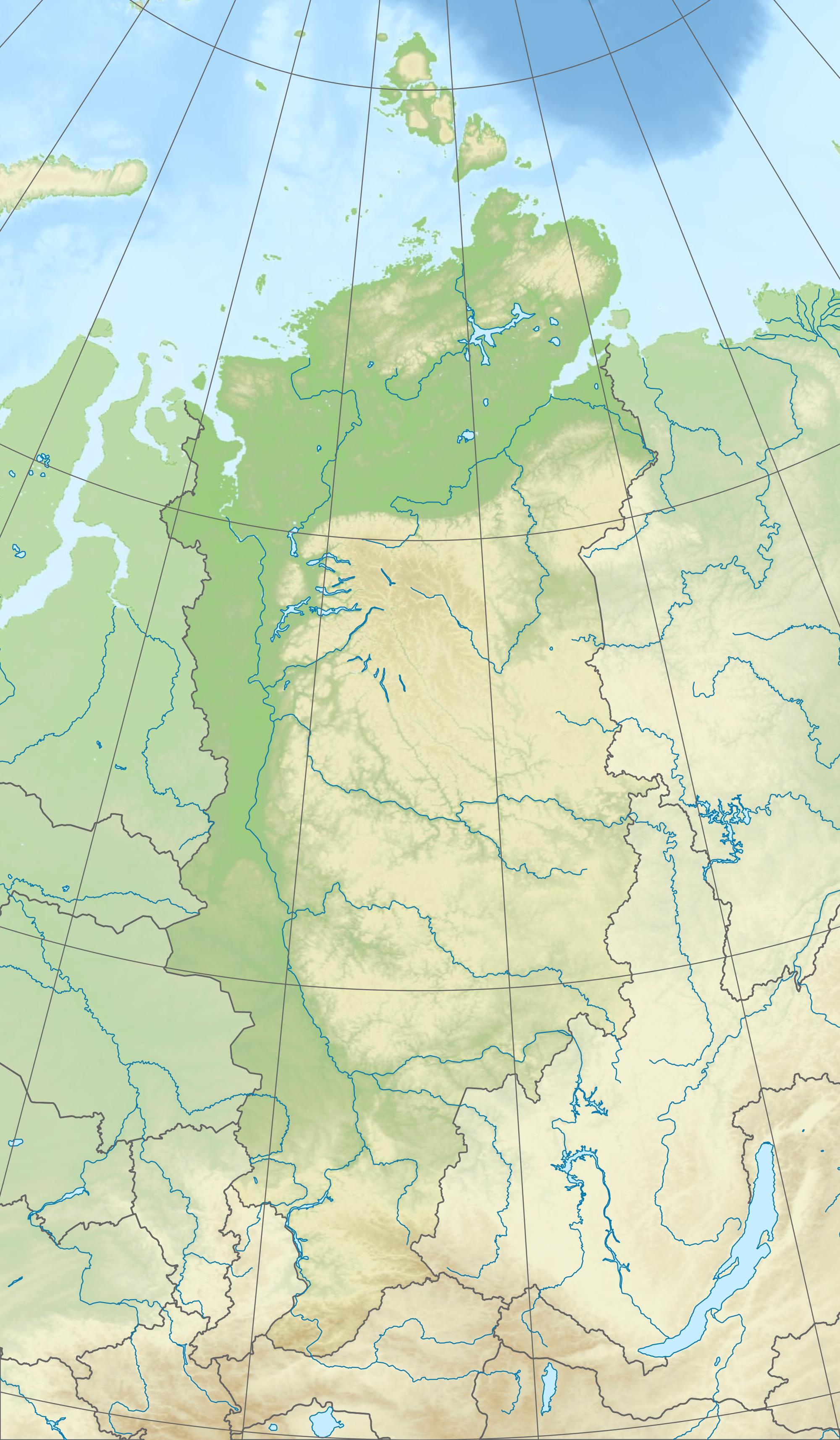
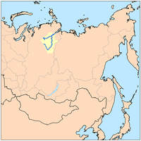
The Khatanga (Russian: Хатанга) is a river in Krasnoyarsk Krai in Russia. The river is navigable. The river port of Khatanga is located on the river.
| Khatanga | |
|---|---|
 | |
 Mouth location in Krasnoyarsk Krai, Russia  Khatanga (river) (Russia) | |
| Location | |
| Country | Russia |
| Physical characteristics | |
| Source | confluence of Kotuy and Kheta |
| Mouth | Laptev Sea |
• coordinates | 73°11′14″N 106°12′25″E |
| Length | 227 km (141 mi) |
| Basin size | 364,000 km2 (141,000 sq mi) |
| Basin features | |
| Tributaries | |
| • left | Kheta, Novaya, Malaya Balakhnya |
| • right | Kotuy, Nizhnyaya, Bludnaya, Popigay |
Course
It begins at the confluence of the rivers Kotuy and Kheta. The Khatanga is 227 kilometres (141 mi) long (1,636 km (1,017 mi) including its headwater Kotuy);[1] the area of its basin is 364,000 square kilometres (141,000 sq mi).[2] It flows into the Khatanga Gulf of the Laptev Sea, forming an estuary. There are more than 112,000 lakes, with a total surface area of 11,600 square kilometres (4,500 sq mi), in the basin of the river.
The Khatanga freezes up in late September–early October and breaks up in early June. Its main tributaries are the Nizhnyaya, Bludnaya, Popigay, Novaya, and Malaya Balakhnya.
Fauna
The Khatanga teems with different kinds of fish, including ryapushka, omul, muksun, white salmon, taimen, loach, among others.
History
Russian fur traders first reached the Khatanga about 1611.[3]
See also
- List of largest unfragmented rivers
- Katanga, name for the upper course of the river Podkamennaya Tunguska
References
- "Река Хатанга (Котуй, Сейси) in the State Water Register of Russia". textual.ru (in Russian).
- Хатанга, Great Soviet Encyclopedia
- Armstrong, Terence (2010). Russian Settlement in the North. Cambridge University Press.
External links
 Media related to Khatanga River at Wikimedia Commons
Authority control | |
|---|---|
| General |
|
| National libraries | |
This Krasnoyarsk Krai location article is a stub. You can help Wikipedia by expanding it. |
This article related to a river in Russia is a stub. You can help Wikipedia by expanding it. |
На других языках
[de] Chatanga (Fluss)
Die Chatanga (russisch Хатанга) ist ein etwa 227 km[3] bzw. zusammen mit seinem Quellfluss Kotui rund 1.636 km[3] langer Strom im Nordosten der Region Krasnojarsk und im Norden von Sibirien und Russland (Asien) und zugleich Hauptzufluss des Chatangagolfs und Zufluss der Laptewsee, einem Teil des Nordpolarmeers.- [en] Khatanga (river)
[es] Río Játanga
El río Játanga (también transcrito Khatanga, Chatanga o Hatanga) (en ruso: Хатанга) es un río ruso localizado en el Norte de la Siberia asiática, que desemboca en el mar de Láptev. Tiene una longitud de 227 km, aunque con una de sus fuentes, el río Kotuy, llega a los 1636 km. Drena una cuenca de 364 000 km² (mayor que países como la república del Congo o Alemania),[1] en la que hay más de 112 000 lagos con una superficie de 11 600 km².[it] Chatanga
La Chatanga (in russo: Хатанга?) è un fiume della Russia siberiana orientale. Scorre nel Tajmyrskij rajon del Territorio di Krasnojarsk, in Russia.[ru] Хатанга (река)
Ха́танга — река в России, протекает по Таймырскому Долгано-Ненецкому району Красноярского края. Длина 227 км[2] (с Котуем — 1636 км[3]), площадь водосборного бассейна — 364 тысячи км²[2].Другой контент может иметь иную лицензию. Перед использованием материалов сайта WikiSort.org внимательно изучите правила лицензирования конкретных элементов наполнения сайта.
WikiSort.org - проект по пересортировке и дополнению контента Википедии