geo.wikisort.org - River
The Jubba River or Juba River (Somali: Wabiga Jubba) is a river in southern Somalia which flows through the region of Jubaland. It begins at the border with Ethiopia, where the Dawa and Ganale Dorya rivers meet, and flows directly south to the Somali Sea, where it empties at the Goobweyn juncture. The Jubba basin covers an area of 749,000 km2 (289,000 sq mi).[1] The Somali state of Jubaland, formerly called Trans-Juba, is named after the river.
| Jubba River | |
|---|---|
 Map of the Jubba/Shebelle drainage basin | |
| Location | |
| Countries |
|
| Physical characteristics | |
| Source | |
| • location | Confluence of Dawa River and Ganale Dorya River |
| • coordinates | 4.1771°N 42.0809°E |
| Mouth | |
• location | Somali Sea |
• coordinates | 0.2495°S 42.6307°E |
| Basin size | 749,000 km2 (289,000 sq mi) |
History

Ajuran Empire
The Jubba River has a rich history of a once-booming sophisticated civilization and trade network conducted by the powerful Somalis that held sway over the Jubba river.
During the Middle Ages Jubba river was under the Ajuran Empire of the Horn of Africa which utilized the Jubba River for its plantations and was the only hydraulic empire in Africa. A hydraulic empire that rose in the 13th century AD, Ajuran monopolized the water resources of the Jubba River and Shebelle. Through hydraulic engineering, it also constructed many of the limestone wells and cisterns of the state that are still operative and in use today. Its rulers developed new systems for agriculture and taxation, which continued to be used in parts of the Horn of Africa as late as the 19th century.[2]
Through their control of the region's wells, the Garen rulers effectively held a monopoly over their nomadic subjects as they were one of the few hydraulic empire in Africa. Large wells made out of limestone were constructed throughout the state, which attracted Somali nomads with their livestock. The centralized regulations of the wells made it easier for the nomads to settle disputes by taking their queries to government officials who would act as mediators. Long distance caravan trade, a long-time practice in the Horn of Africa, continued unchanged in Ajuran times. Today, numerous ruined and abandoned towns throughout the interior of Somalia and the Horn of Africa are evidence of a once-booming inland trade network dating from the medieval period.[3]
With the centralized supervision of the Ajuran, farms in Afgooye, Bardhere and other areas in the Jubba and Shebelle valleys increased their productivity. A system of irrigation ditches known locally as Kelliyo fed directly from the Shebelle River and Jubba River into the plantations where sorghum, maize, beans, grain and cotton were grown during the gu (Spring in Somali) and xagaa (Summer in Somali) seasons of the Somali calendar. This irrigation system was supported by numerous dikes and dams. To determine the average size of a farm, a land measurement system was also invented with moos, taraab and guldeed being the terms used.
The urban centers of Mogadishu, Merca, Barawa, Kismayo and Hobyo and other respective ports became profitable trade outlets for commodities originating from the interior of the State. The Somali farming communities of the hinterland from Jubba and Shebelle valleys brought their crops to the Somali coastal cities, where they were sold to local merchants who maintained a lucrative foreign commerce with ships sailing to and coming from Arabia, Persia, India, Venice, Egypt, Portugal, and as far away as Java and China.[4]
Modern Period
Over two centuries passed until Baron Karl Klaus von der Decken ascended the lower reaches of the river on the small steamship Welf in 1863. He wrecked the steamship in the rapids above Bardhere, where the party was attacked by local Somalis, ending in the deaths of the Baron and three others in his party. The first European to explore widely and complete the course of the river was the Italian explorer Vittorio Bottego attended by Commander F. G. Dundas British Navy. Bottego and his expedition sailed 640 km (400 miles) of the river in 1891. During his exploration Vittorio Bottego changed the name of the main affluent of Jubba—the Ganale river—in Ganale Doria after the famous Italian naturalist Giacomo Doria.[5][6]
Overview
The Jubba basin region is primarily savanna, and is, ecologically speaking, the richest part of the country due to its fertile farmland. Native wild life include giraffes, cheetahs, lions, leopards, hyenas, buffalos, hippopotamus, crocodiles, oryx, gazelles, camels, ostriches, jackals and wild donkeys.
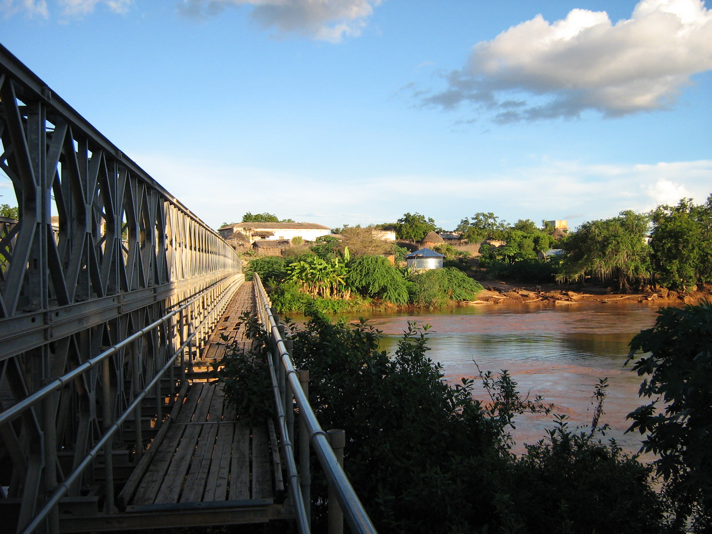
The Jubba River gives its name to the Somali administrative regions of Upper Juba (Gedo, Bay, Bakool), Middle Juba and Lower Juba, as well as to the larger historical region of Jubaland. Major cities which the Jubba River passes by include Dolow, Luuq, Burdhubo, Beled'hawo, Bardhere, Buale, and Goobweyn near Kismaayo.
See also
References
- Managing Shared Basins in the Horn of Africa – Ethiopian Projects on the Juba and Shabelle Rivers and Downstream Effects in Somalia.
- Njoku, Raphael Chijioke (2013). The History of Somalia. p. 26. ISBN 9780313378577. Retrieved 2014-02-14.
- Cassanelli (1982), p. 149.
- Journal of African History pg. 50 by John Donnelly Fage and Roland Anthony Oliver.
- 1892; Il Giuba esplorato, 1895.
- F. G. Dundas, "Expedition up the Jub River through Somali-Land, East Africa", Geographical Journal, 1 (March 1893), pp. 209-222.
External links
На других языках
[de] Juba (Fluss)
Der Juba oder Jubba (Somali Jubba [.mw-parser-output .IPA a{text-decoration:none}d͡ʒubːɑ], italienisch Giuba) ist ein 1658 km langer Strom, dessen Quellflüsse im äthiopischen Bergland entspringen und an der somalischen Küste in den Indik mündet.- [en] Jubba River
[es] Río Juba
El río Juba (en somalí: Webi Jubba) es un importante río del África oriental, localizado en el sur de Somalia, que comienza en la frontera con Etiopía, en la confluencia de los ríos Dawa y Ganale Dorya o Gebele, y fluye directamente al sur hasta el océano Índico, donde desemboca en Goobweyn.[it] Giuba (fiume)
Il Giuba (AFI: /ˈʤuba/[1]), noto anche come Juba o Jubba, è un fiume dell'Africa Orientale che nasce nell'altopiano etiopico, dalla confluenza del Daua, del Ganale e dell'Uebi Gestro, e scorre in direzione sud in Somalia per sfociare dopo circa 875 km[2] nell'Oceano indiano nei pressi del porto di Chisimaio.[ru] Джубба
Джу́бба[1] (сомал. Wabiga Jubbada, итал. Giuba) — река на юге Сомали. Берёт начало у границы с Эфиопией при слиянии рек Дауа и Гэнале, течёт через автономное сомалийское государство Джубаленд на юг, впадая в Индийский океан.Другой контент может иметь иную лицензию. Перед использованием материалов сайта WikiSort.org внимательно изучите правила лицензирования конкретных элементов наполнения сайта.
WikiSort.org - проект по пересортировке и дополнению контента Википедии