geo.wikisort.org - River
The Huveaune (French pronunciation: [yvon]; Occitan: Evèuna) is a small river in the Provence-Alpes-Côte d'Azur region of southeastern France. It is 48.5 kilometres (30.1 mi) long and flows through the communes of La Penne-sur-Huveaune, Nans-les-Pins, Saint-Zacharie, Plan-d'Aups-Sainte-Baume, Auriol, Roquevaire, Aubagne, and the metropolitan area of Marseille.[1]
| Huveaune | |
|---|---|
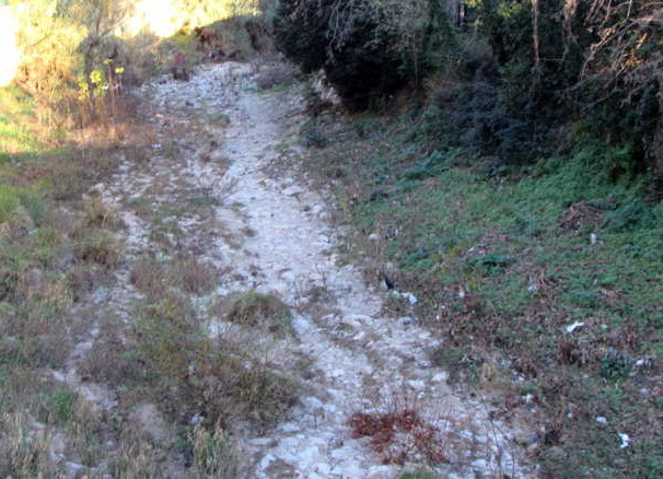
 The source of the Huveaune | |
  | |
| Native name | L'Huveaune (French) |
| Location | |
| Country | France |
| Physical characteristics | |
| Source | |
| • location | Sainte-Baume |
| • elevation | 590 m (1,940 ft) |
| Mouth | Mediterranean Sea |
• location | Marseille |
• coordinates | 43.2594°N 5.3734°E |
| Length | 48.5 km (30.1 mi) |
| Basin size | 502 km2 (194 sq mi) |
| Discharge | |
| • average | 10 m3/s (350 cu ft/s) |
The Huveaune rises in the Castelette cave at 590 metres (1,940 ft) in the Sainte-Baume mountain range, and runs into the Mediterranean Sea at Marseille. Its drainage basin is 502 km2 (194 sq mi).[2]

References
- Sandre. "Fiche cours d'eau - L'Huveaune (Y44-0400 )".
- Bassin versant : Huveaune (L'), Observatoire Régional Eau et Milieux Aquatiques en PACA
Wikimedia Commons has media related to Huveaune.
| Landmarks |
|  |
|---|---|---|
| Geography |
| |
| History |
| |
| Sporting clubs |
| |
Authority control | |
|---|---|
| General |
|
| National libraries | |
This Bouches-du-Rhône geographical article is a stub. You can help Wikipedia by expanding it. |
На других языках
[de] Huveaune
Die Huveaune ist ein Küstenfluss in Frankreich, der in der Region Provence-Alpes-Côte d’Azur verläuft. Sie entspringt im Regionalen Naturpark Sainte-Baume, auf der Nordseite der Bergkette Massif de la Sainte-Baume, im Gemeindegebiet von Nans-les-Pins. Die Quelle liegt in der Felshöhle Grotte de Castelette, aus der das Wasser über mehrere Sinterbecken herausströmt. Der Fluss entwässert zunächst in nordwestlicher Richtung, dreht dann aber auf Südwest bis West, erreicht bei Auriol das stark besiedelte Gebiet im Großraum von Marseille, wird ab hier von den Autobahnen A52 und A50 begleitet, durchquert das Stadtgebiet von Marseille im Nordosten und erreicht nach insgesamt rund 48[2] Kilometern südlich des Stadtzentrums, unmittelbar beim Parc Borély, das Mittelmeer, wo der Strand an der Mündung nach ihm Plage de l’Huveaune genannt wird. Auf ihrem Weg durchquert die Huveaune die Départements Var und Bouches-du-Rhône.- [en] Huveaune
[it] Huveaune
L'Huveaune è un fiume francese che sorge nel Massiccio della Sainte Baume, alla Grotte de la Castelette, nel territorio comunale di Nans-les-Pins, a un'altezza di 590 metri s.l.m. e dopo un percorso di 48,4 km sfocia nel Mar Mediterraneo a Marsiglia.Текст в блоке "Читать" взят с сайта "Википедия" и доступен по лицензии Creative Commons Attribution-ShareAlike; в отдельных случаях могут действовать дополнительные условия.
Другой контент может иметь иную лицензию. Перед использованием материалов сайта WikiSort.org внимательно изучите правила лицензирования конкретных элементов наполнения сайта.
Другой контент может иметь иную лицензию. Перед использованием материалов сайта WikiSort.org внимательно изучите правила лицензирования конкретных элементов наполнения сайта.
2019-2026
WikiSort.org - проект по пересортировке и дополнению контента Википедии
WikiSort.org - проект по пересортировке и дополнению контента Википедии