geo.wikisort.org - River
The Flowerdale River is a river in North West Tasmania, Australia, it extends approximately 55 kilometres (34 mi) from the Campbell Ranges near West Takone before discharging into the Inglis River at Wynyard. The Flowerdale is the largest tributary system on the Inglis River and makes up approximately one-third of the 471-square-kilometre (182 sq mi) Inglis-Flowerdale catchment basin.[2]
| Flowerdale | |
|---|---|
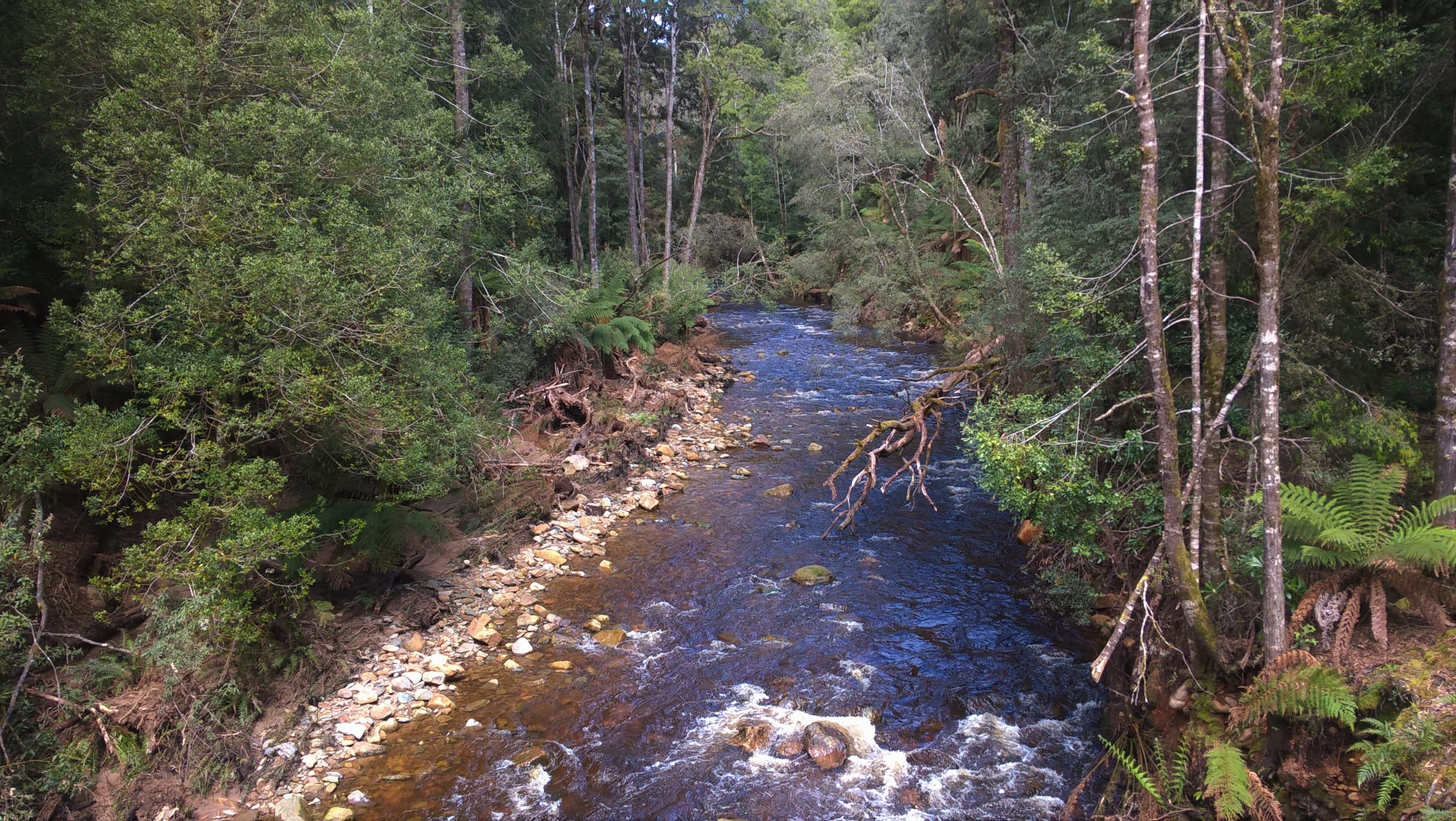 The Flowerdale River at Meunna, North West Tasmania | |
 Location of the river mouth in Tasmania | |
| Location | |
| Country | Australia |
| State | Tasmania |
| Physical characteristics | |
| Source | Campbell Ranges |
| • location | West Takone |
| • coordinates | 41°10′36″S 145°34′27″E |
| • elevation | 543 m (1,781 ft) |
| Mouth | Inglis River |
• location | Wynyard |
• coordinates | 40°58′28″S 145°39′41″E |
• elevation | 16 m (52 ft) |
| Length | 55 km (34 mi) |
| Basin size | 157 km2 (61 sq mi) |
| Basin features | |
| Tributaries | |
| • left | Borradale Creek, Hebe River |
| • right | Hardmans Creek |
| [1] | |
Inglis-Flowerdale catchment area
While not tributaries of the main river system, Sisters Creek and Seabrook Creek are notable minor creeks which form part of the 616 square kilometres (238 sq mi) Inglis-Flowerdale catchment area. Annual rainfall ranges from about 1,000 millimetres (39 in) at the coast to greater than 1,600 millimetres (63 in) in the upper reaches of the catchment, some 26 kilometres (16 mi) inland from Wynyard.[3]
Forestry plantations dominate the landscape in the western region of the catchment, with intensive agriculture land-use in the north and eastern regions. Because of the steep and confining nature of the topography around the Inglis and Flowerdale rivers, both have retained substantial native forests that tend to buffer the rivers from both land-use activities.[3]
See also
- List of rivers of Tasmania
References
- "Map of Flowerdale River, TAS". Bonzle Digital Atlas of Australia. Retrieved 13 March 2017.
- Warfe, Danielle (December 2003). "Aquatic Ecology of Rivers in the Inglis-Flowerdale Catchment" (PDF). dpipwe.tas.gov.au. Department of Primary Industries, Water and Environment. Retrieved 12 August 2016.
- Water Assessment Branch (2009). Annual Waterways Report - Inglis-Flowerdale Catchment (Report). Department of Primary Industries and Water (Tasmania). p. 2. Retrieved 30 August 2016.
Further reading
- Bobbi, Christopher. (et al.) (2003) State of rivers report for the Inglis-Flowderdale Catchment Water Assessment and Planning Branch. Dept. of Primary Industries, Water and Environment, Hobart, Tas.
River systems and rivers of Tasmania, Australia | |||||
|---|---|---|---|---|---|
| |||||
| |||||
| |||||
|
На других языках
[de] Flowerdale River
Der Flowerdale River ist ein Fluss im Nordwesten des australischen Bundesstaates Tasmanien.- [en] Flowerdale River
[ru] Флауэрдейл (река)
Флауэрдейл (англ. Flowerdale River) — река в северо-западной части Тасмании (Австралия), левый приток реки Инглис. Длина реки составляет около 65 км[1] (по другим данным — около 55 км[2]). Река получила своё название Flowerdale («цветочная долина») из-за многочисленных диких цветов, растущих в её долине[3].Другой контент может иметь иную лицензию. Перед использованием материалов сайта WikiSort.org внимательно изучите правила лицензирования конкретных элементов наполнения сайта.
WikiSort.org - проект по пересортировке и дополнению контента Википедии