geo.wikisort.org - River
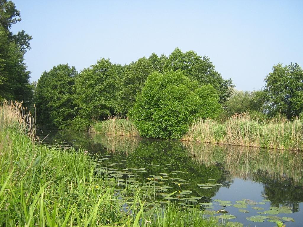
The Dahme Flood Relief Canal, or Dahme-Umflutkanal in German, is a canal in the German state of Brandenburg. Its principal purpose is to divert water from the upper reaches of the River Spree just below Leibsch, to run into the River Dahme at Märkisch Buchholz.[1]

The canal is entered from the River Spree by a lock and is navigable downstream to Märkisch Buchholz. A weir here prevents direct access to the River Dahme, but a small inclined plane allows canoes and small craft to by-pass the weir near Märkisch Buchholz.[2]
The canal is 9.5 kilometres (5.9 mi) in length, and at about its midpoint crosses the Köthener See.
References
This Brandenburg location article is a stub. You can help Wikipedia by expanding it. |
This article related to water transport is a stub. You can help Wikipedia by expanding it. |
На других языках
[de] Dahme-Umflutkanal
Der Dahme-Umflutkanal ist ein Kanal, der die Spree von Leibsch über den Köthener See bis nach Märkisch Buchholz mit der Dahme verbindet.- [en] Dahme Flood Relief Canal
Другой контент может иметь иную лицензию. Перед использованием материалов сайта WikiSort.org внимательно изучите правила лицензирования конкретных элементов наполнения сайта.
WikiSort.org - проект по пересортировке и дополнению контента Википедии